Maryland, NY
Advertisement
Maryland, NY Map
Maryland is a US city in Otsego County in the state of New York. Located at the longitude and latitude of -74.886667, 42.536389 and situated at an elevation of 1,473 meters. In the 2020 United States Census, Maryland, NY had a population of 1,760 people. Maryland is in the Eastern Standard Time timezone at Coordinated Universal Time (UTC) -5. Find directions to Maryland, NY, browse local businesses, landmarks, get current traffic estimates, road conditions, and more.
Maryland, New York, is a quaint and charming locale nestled in the northern reaches of the Catskill Mountains. Known for its serene landscapes and a strong sense of community, Maryland offers a peaceful retreat from the hustle and bustle of larger cities. The town is historically significant for its roots in the early American settler era, with several structures and sites reflecting its rich past. Visitors and residents alike enjoy the natural beauty that surrounds the area, with opportunities for hiking, fishing, and exploring the scenic trails that wind through the picturesque countryside.
Among the popular attractions in Maryland is Gilbert Lake State Park, a favorite spot for outdoor enthusiasts offering camping, swimming, and picnicking in a lush forest setting. The park's numerous trails also provide a perfect backdrop for bird watching and nature photography. Additionally, the Maryland Historical Society often hosts events and exhibits that delve into the region's history, providing insights into the area's development over the centuries. Whether you're looking to explore the great outdoors or delve into local history, Maryland, New York, presents a unique blend of natural beauty and cultural heritage.
Nearby cities include: Schenevus, NY, Portlandville, NY, Milford, NY, Davenport, NY, Davenport Center, NY, Westford, NY, Hartwick Seminary, NY, Mount Vision, NY, Worcester, NY, Laurens, NY.
Places in Maryland
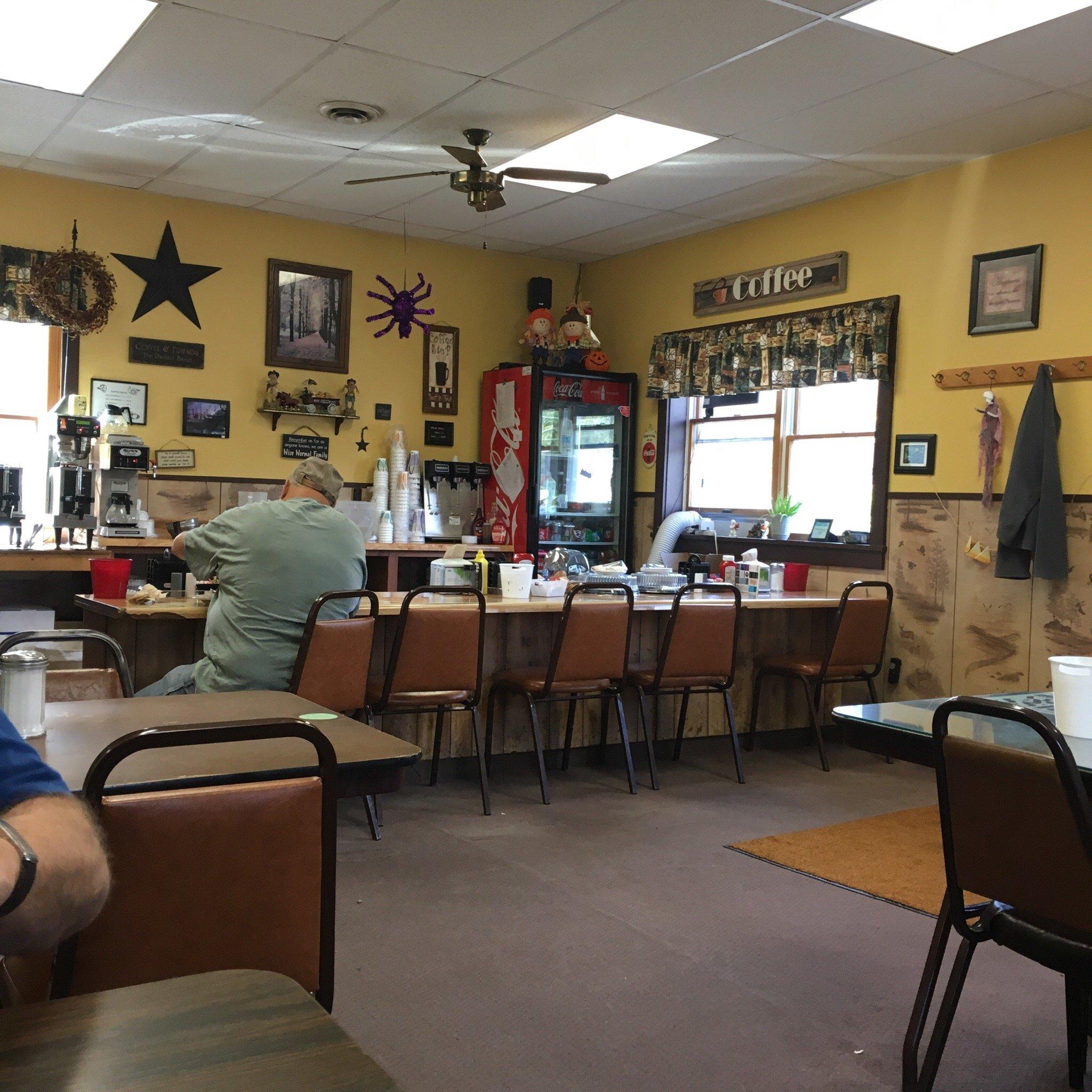
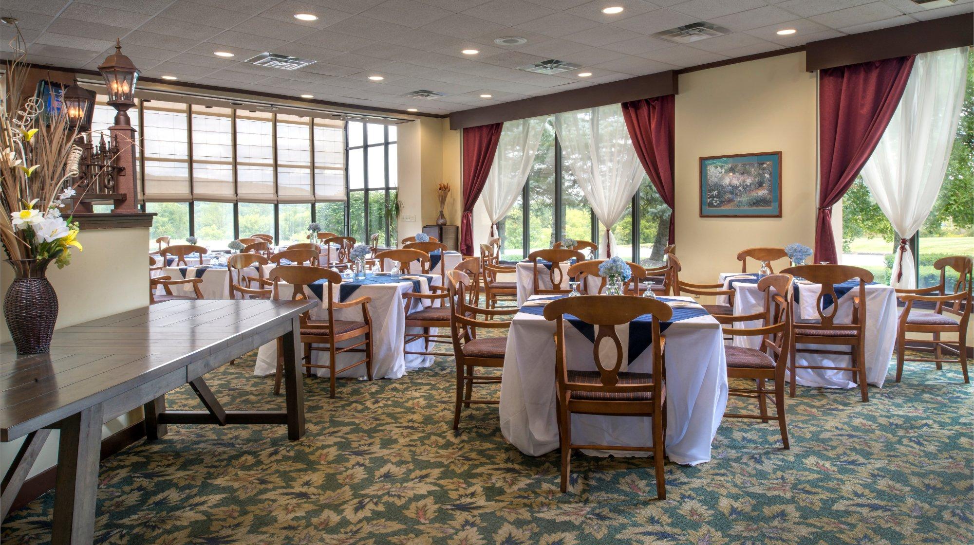
Dine and drink
Eat and drink your way through town.
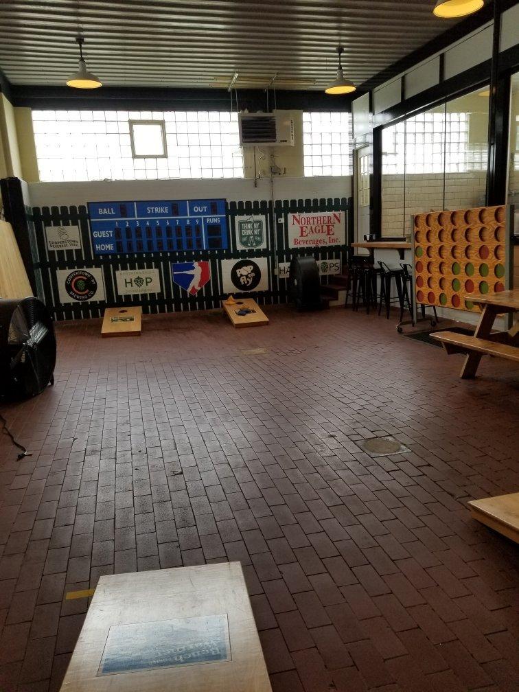
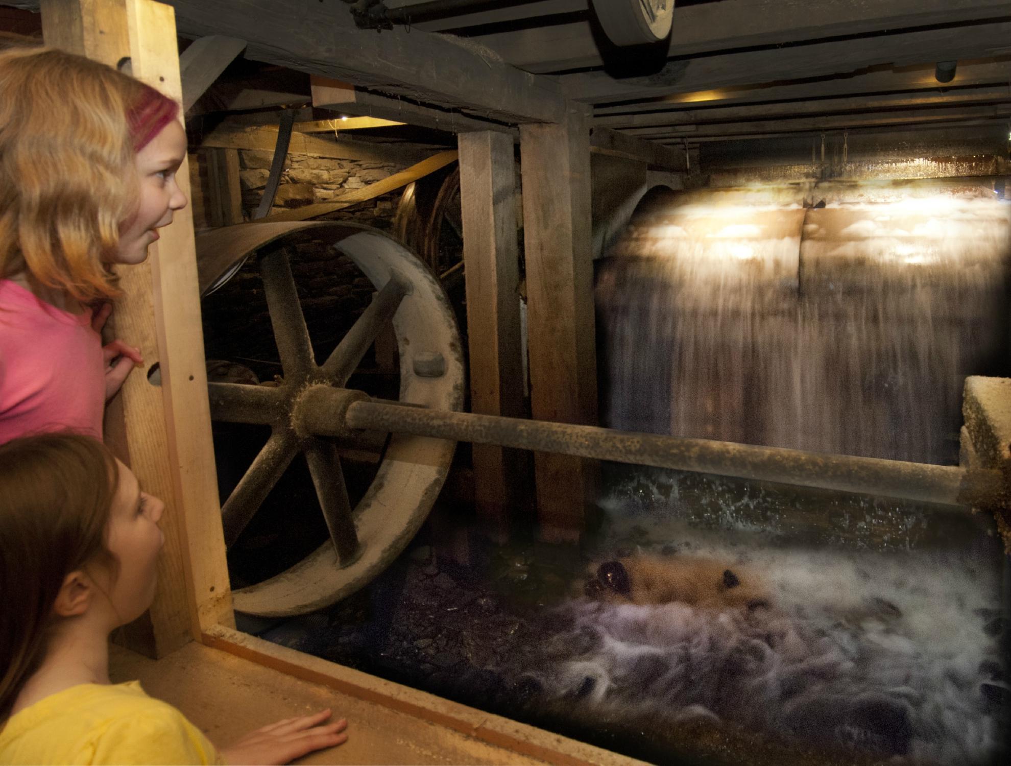
Can't-miss activities
Culture, natural beauty, and plain old fun.
Places to stay
Hang your (vacation) hat in a place that’s just your style.
Advertisement


