Johnstown, NY
Advertisement
Johnstown Map
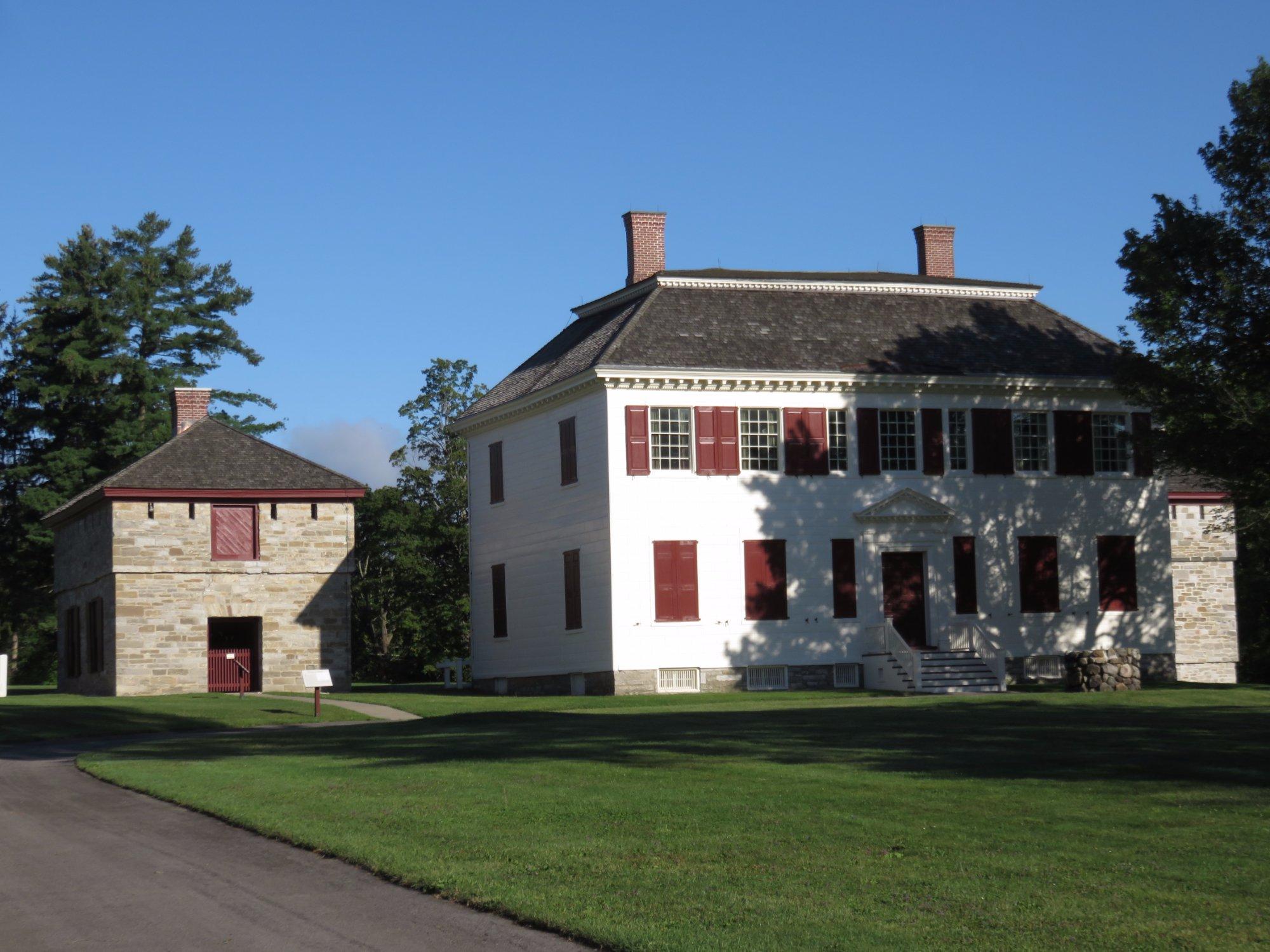
Johnstown is a city and the county seat of Fulton County in the U.S. state of New York. As of the 2000 Census, the city had population of 8,511. Recent estimates put the figure closer to 8,100. The city was named by its founder, Sir William Johnson after his son John Johnson. Sir WIlliam Johnson was a baronet and officer in the British army..
The city of Johnstown is mostly surrounded by the town of Johnstown, of which it was once a part when it was a village. Also adjacent to the city is the city of Gloversville. The two cities are together known as the "Glove Cities". They are known for their history of specialty manufacturing. Johnstown is located approximately 45 miles (72 km) west of Albany, about one-third of the way between Albany and the Finger Lakes region to the west.
Johnstown is located in a region of New York State once known as "Kingsborough." The city, originally John's Town, was founded in 1762 by Sir William Johnson, a Baronet who named it after his son John Johnson. William Johnson came to the British colony of New York from Ireland in 1732. He was a trader who learned American Indian languages and culture, forming close relationships with many Native American leaders. He was appointed as the Superintendent of Indian Affairs, as well as a Major General in the British forces during the French and Indian War (Seven Years War). His alliances with the Iroquois were significant to the war.
Nearby cities include Amsterdam, Hagaman, Palatine Bridge, Canajoharie, Nelliston.
Places in Johnstown
Dine and drink
Eat and drink your way through town.
Can't-miss activities
Culture, natural beauty, and plain old fun.
Places to stay
Hang your (vacation) hat in a place that’s just your style.
Advertisement


