Hornell, NY
Advertisement
Hornell, NY Map
Hornell is a US city in Steuben County in the state of New York. Located at the longitude and latitude of -77.666667, 42.316667 and situated at an elevation of 354 meters. In the 2020 United States Census, Hornell, NY had a population of 8,263 people. Hornell is in the Eastern Standard Time timezone at Coordinated Universal Time (UTC) -5. Find directions to Hornell, NY, browse local businesses, landmarks, get current traffic estimates, road conditions, and more.
Hornell, located in the Southern Tier region of New York, is known for its rich railroad history, once serving as a bustling hub for the Erie Railroad. This heritage is celebrated in local museums and historical sites, reflecting the city’s importance in the development of the rail industry in the northeastern United States. Hornell's connection to the railroads is still visible today through its architecture and cultural events that pay homage to this legacy.
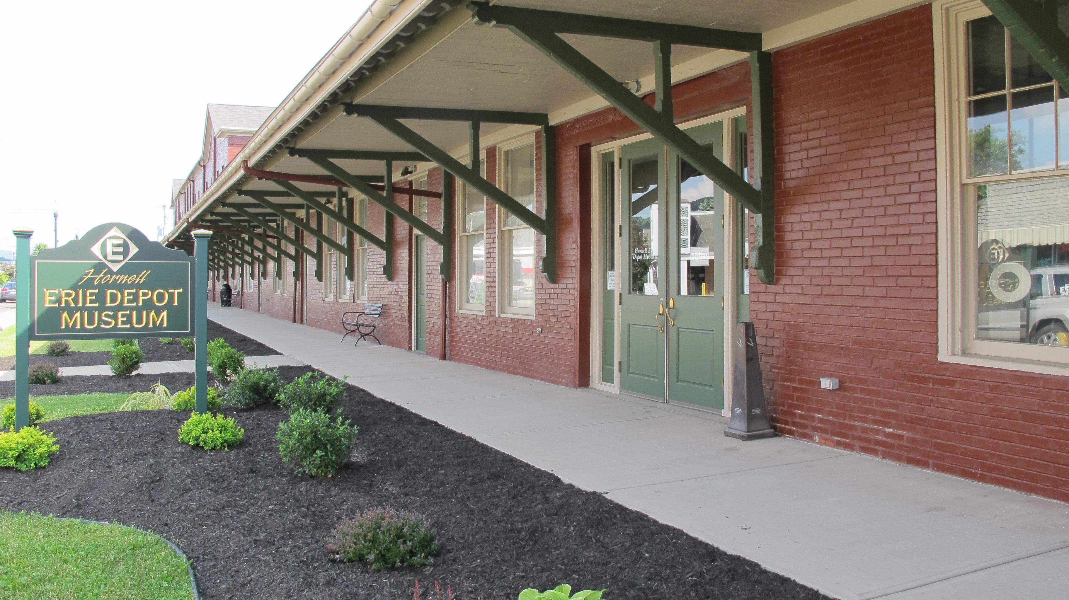
Visitors to Hornell can explore popular spots such as the Hornell Erie Depot Museum, which offers insights into the city's past with exhibits on the railroad's impact on the area. Outdoor enthusiasts can enjoy the nearby Stony Brook State Park, known for its scenic hiking trails and picturesque waterfalls. The city also hosts various community events throughout the year, fostering a warm, small-town atmosphere that invites exploration and engagement with its vibrant local culture.
Nearby cities include: North Hornell, NY, Hornellsville, NY, Canisteo, NY, Hartsville, NY, Arkport, NY, Fremont, NY, Almond, NY, Alfred, NY, Howard, NY, Burns, NY.
Places in Hornell
Dine and drink
Eat and drink your way through town.
Can't-miss activities
Culture, natural beauty, and plain old fun.
Places to stay
Hang your (vacation) hat in a place that’s just your style.
Advertisement


