


Green Island, NY
Advertisement
Green Island, NY Map
Green Island is a US city in Albany County in the state of New York. Located at the longitude and latitude of -73.694200, 42.744200 and situated at an elevation of 7 meters. In the 2020 United States Census, Green Island, NY had a population of 2,934 people. Green Island is in the Eastern Standard Time timezone at Coordinated Universal Time (UTC) -5. Find directions to Green Island, NY, browse local businesses, landmarks, get current traffic estimates, road conditions, and more.
Green Island, located in New York, is a small yet historically rich village known for its industrial past and scenic beauty. The island's history is deeply intertwined with the Erie Canal and the Hudson River, which played a significant role in its development during the industrial revolution. Green Island was once home to the Ford Motor Company's assembly plant, which was a major contributor to the area's economy in the early 20th century. Today, remnants of its industrious past can still be seen, offering a glimpse into the village's vibrant history.
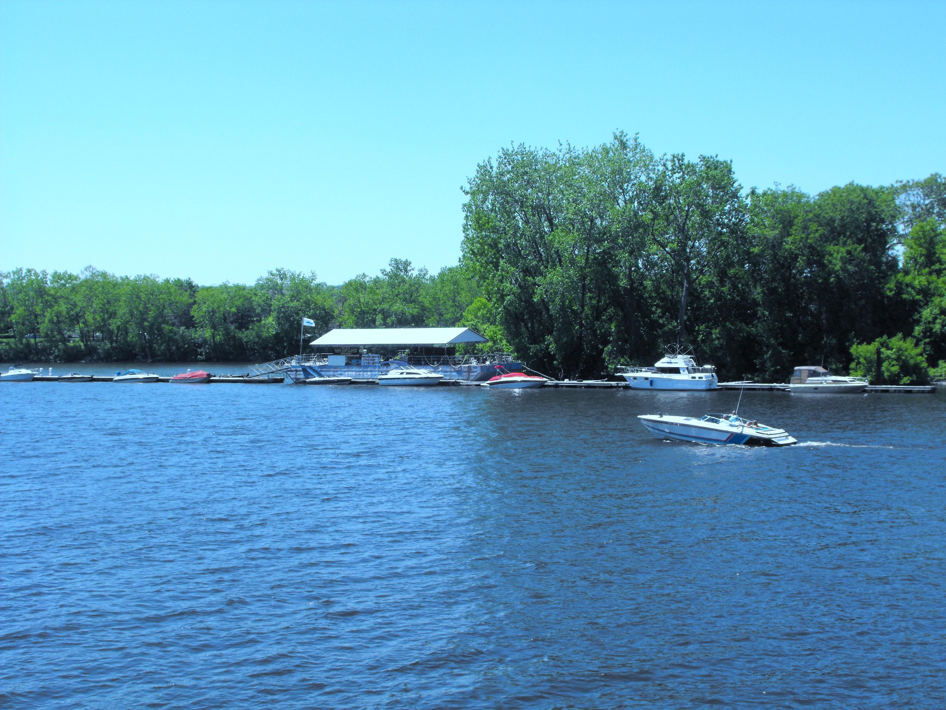
Visitors to Green Island can explore the Hudson River waterfront, which provides picturesque views and opportunities for recreational activities like fishing and kayaking. The village is also known for its community events and parks, such as the scenic River Park, which offers a serene escape for locals and tourists alike. The Green Island Bridge, connecting the village to the mainland, is a notable landmark that has been an essential infrastructure piece since its construction. Overall, Green Island offers a blend of historical intrigue and natural charm, making it a unique destination in New York.
Nearby cities include: Troy, NY, Watervliet, NY, Cohoes, NY, Latham, NY, Waterford, NY, Colonie, NY, Menands, NY, Wynantskill, NY, Brunswick, NY, Cropseyville, NY.
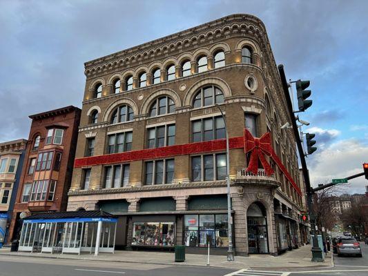
Places in Green Island
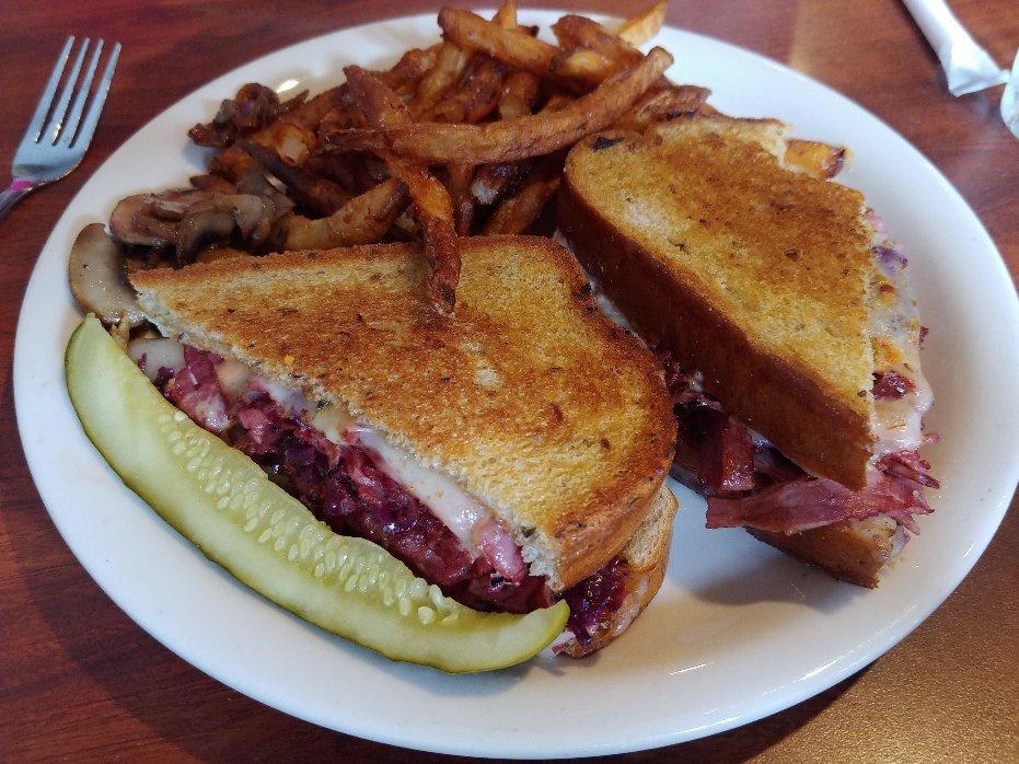
Dine and drink
Eat and drink your way through town.


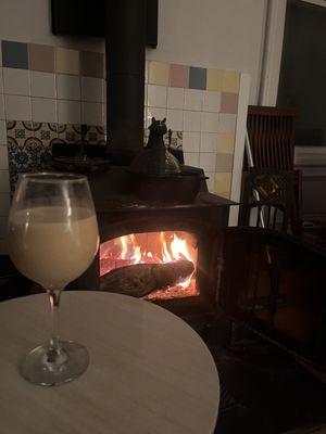
Can't-miss activities
Culture, natural beauty, and plain old fun.


Places to stay
Hang your (vacation) hat in a place that’s just your style.
Advertisement