Castorland, NY
Advertisement
Castorland, NY Map
Castorland is a US city in Lewis County in the state of New York. Located at the longitude and latitude of -75.513900, 43.887500 and situated at an elevation of 226 meters. In the 2020 United States Census, Castorland, NY had a population of 334 people. Castorland is in the Eastern Standard Time timezone at Coordinated Universal Time (UTC) -5. Find directions to Castorland, NY, browse local businesses, landmarks, get current traffic estimates, road conditions, and more.
Castorland, nestled in the state of New York, is a quaint village known for its serene rural charm and historical significance. Founded in the late 18th century by a group of French settlers, it was initially part of a land development project called the Castorland Company. The village's name, derived from the French word for beaver, "castor," pays homage to the area's rich natural resources and the fur trade that once thrived there. Although the original settlement faced numerous hardships, the village has preserved its historical roots, offering visitors a glimpse into its storied past.
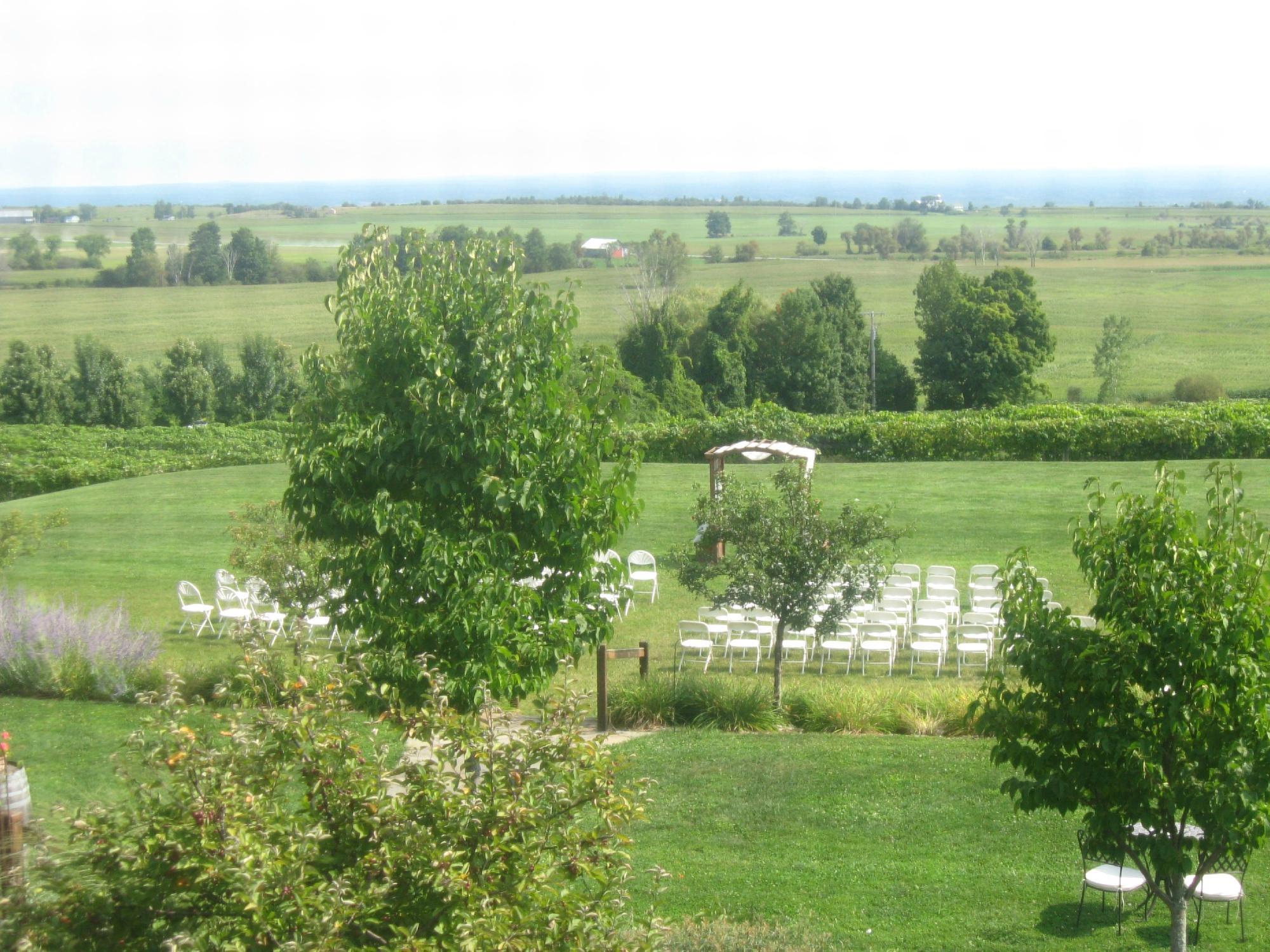
Among the notable landmarks in Castorland is the historic cemetery, which provides insights into the lives of the early settlers. Outdoor enthusiasts can enjoy the picturesque landscapes surrounding the village, which offer opportunities for hiking and exploring the natural beauty of upstate New York. The village's peaceful environment and historical backdrop make it a unique destination for those interested in exploring the lesser-known yet intriguing corners of New York State.
Nearby cities include: Beaver Falls, NY, Denmark, NY, New Bremen, NY, Croghan, NY, Lowville, NY, Copenhagen, NY, Carthage, NY, West Carthage, NY, Harrisburg, NY, Watson, NY.
Places in Castorland
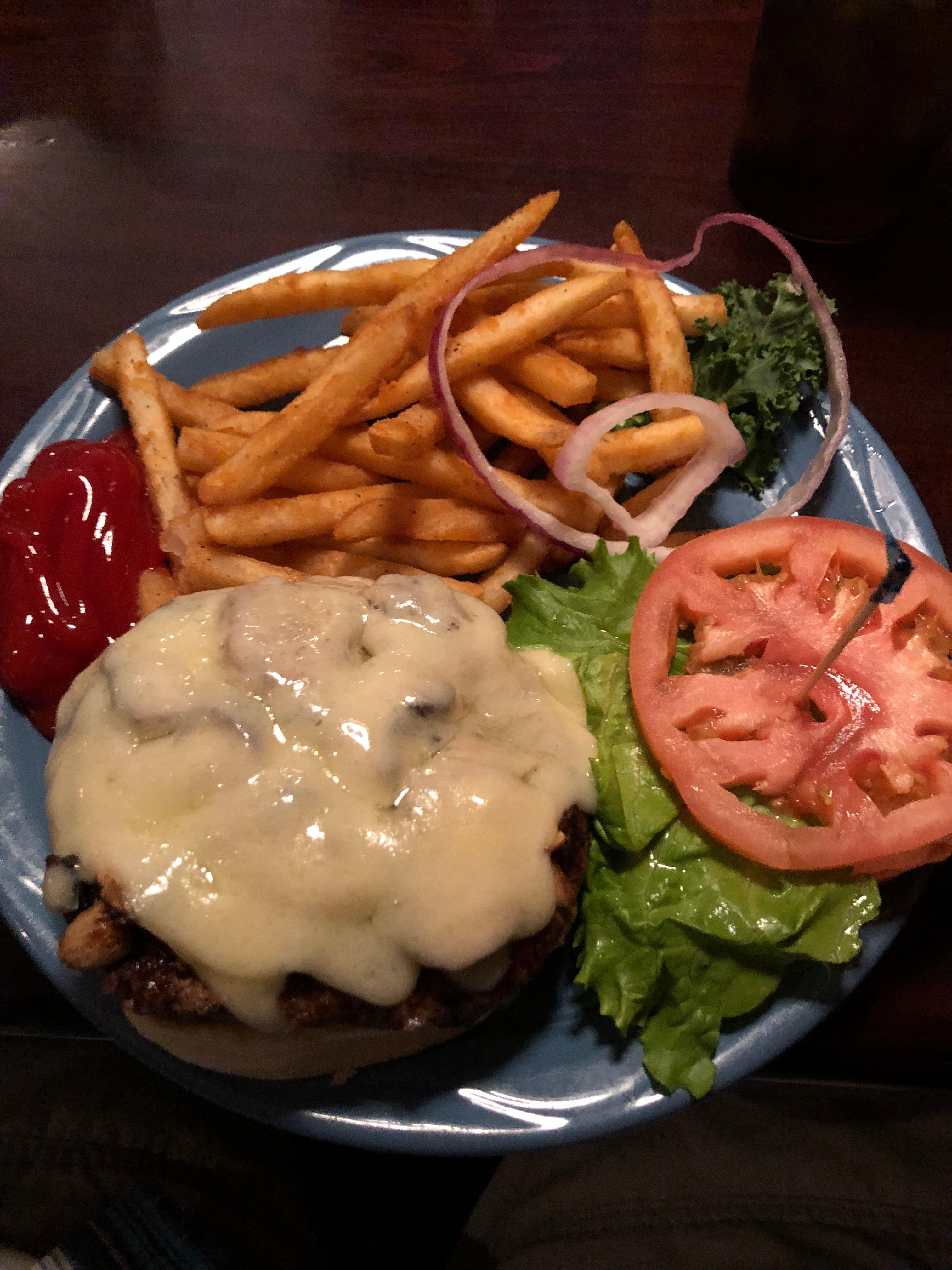
Dine and drink
Eat and drink your way through town.
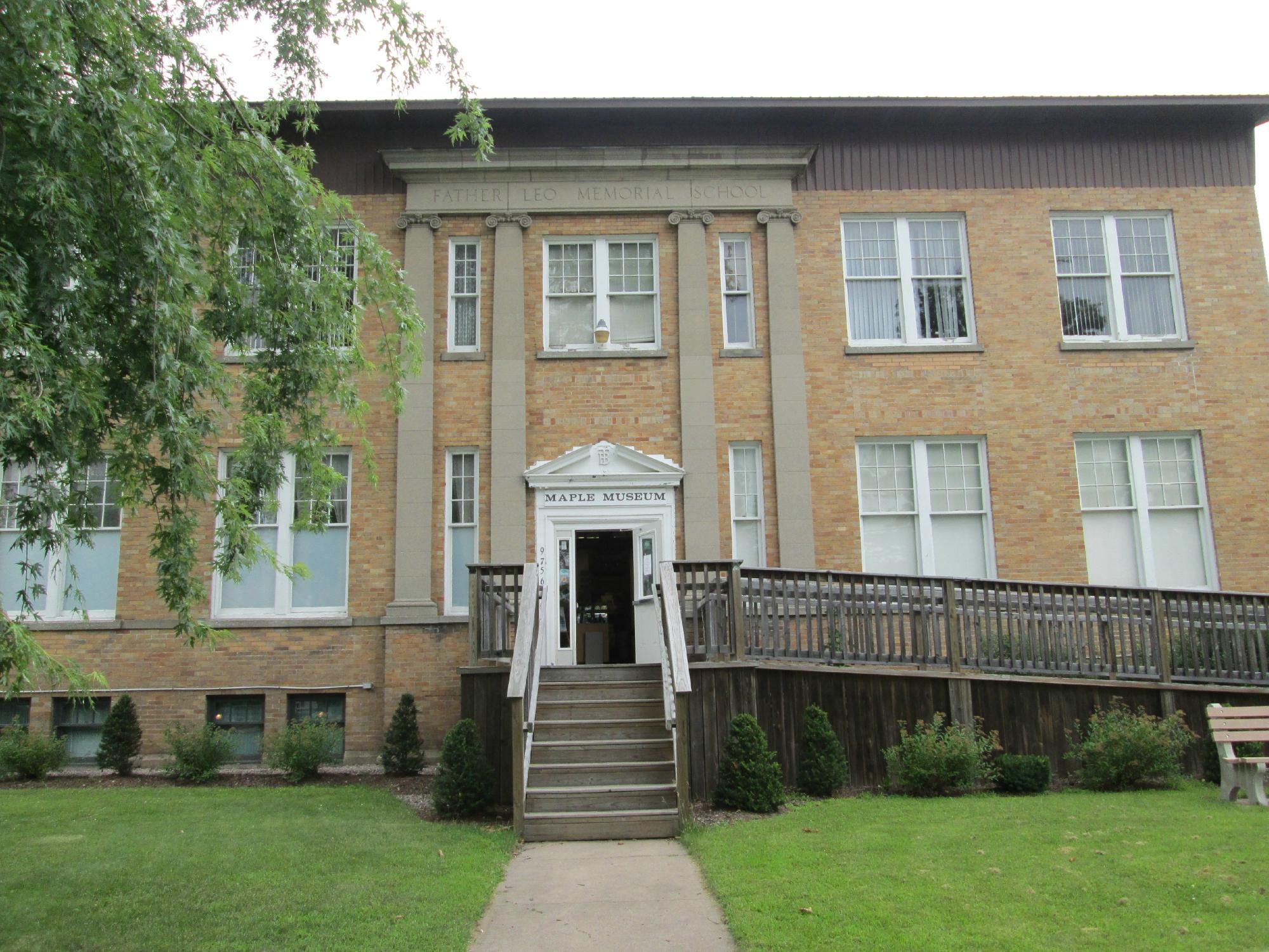
Can't-miss activities
Culture, natural beauty, and plain old fun.
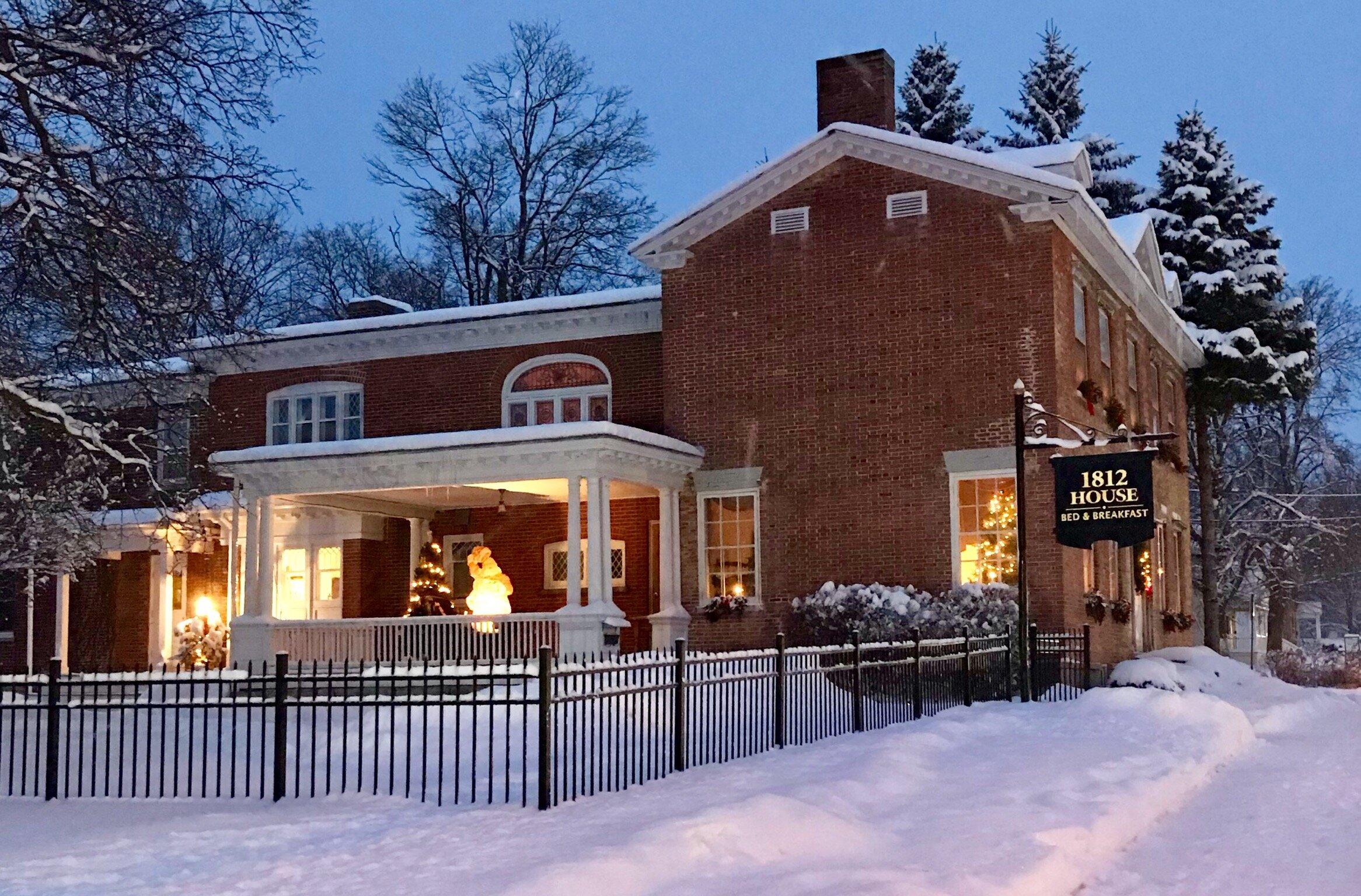
Places to stay
Hang your (vacation) hat in a place that’s just your style.
Advertisement


