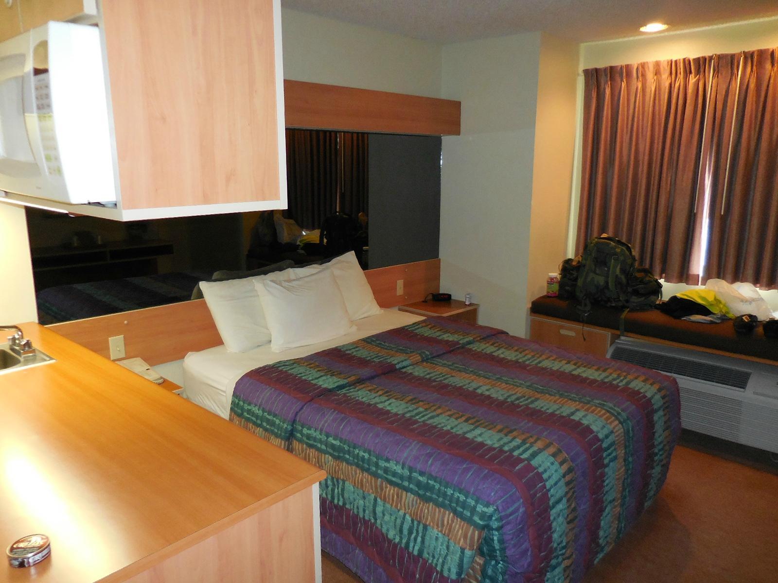
Los Lunas, NM
Advertisement
Los Lunas, NM Map
Los Lunas is a US city in Valencia County in the state of New Mexico. Located at the longitude and latitude of -106.735278, 34.809444 and situated at an elevation of 1,480 meters. In the 2020 United States Census, Los Lunas, NM had a population of 17,242 people. Los Lunas is in the Mountain Standard Time timezone at Coordinated Universal Time (UTC) -7. Find directions to Los Lunas, NM, browse local businesses, landmarks, get current traffic estimates, road conditions, and more.
Los Lunas, located in New Mexico, is known for its rich history and cultural significance. Founded in the early 18th century, the city has roots that trace back to Spanish colonial times, with its name derived from the Luna family, prominent settlers in the area. Visitors often explore the Los Lunas Museum of Heritage & Arts, which offers insights into the region's past, showcasing artifacts and exhibits that highlight the blend of Native American and Hispanic influences. The annual fiestas and events, such as the Los Lunas Fall Festival, provide a glimpse into the local traditions and community spirit.
Among the popular places to visit in Los Lunas is the historic Tome Hill, known for its religious significance and panoramic views, attracting hikers and pilgrims alike. The nearby El Cerro de Los Lunas Preserve offers trails for outdoor enthusiasts to enjoy the natural beauty of the high desert landscape. Additionally, the city is home to a variety of local eateries and shops that reflect the unique Southwestern culture. Whether you're interested in history, nature, or local cuisine, Los Lunas offers a diverse array of experiences for travelers.
Nearby cities include: Peralta, NM, Bosque Farms, NM, Tome, NM, El Cerro Mission, NM, Rio Communities North, NM, Las Maravillas, NM, Monterey Park, NM, Los Trujillos-Gabaldon, NM, Belen, NM, Rio Communities, NM.
Places in Los Lunas
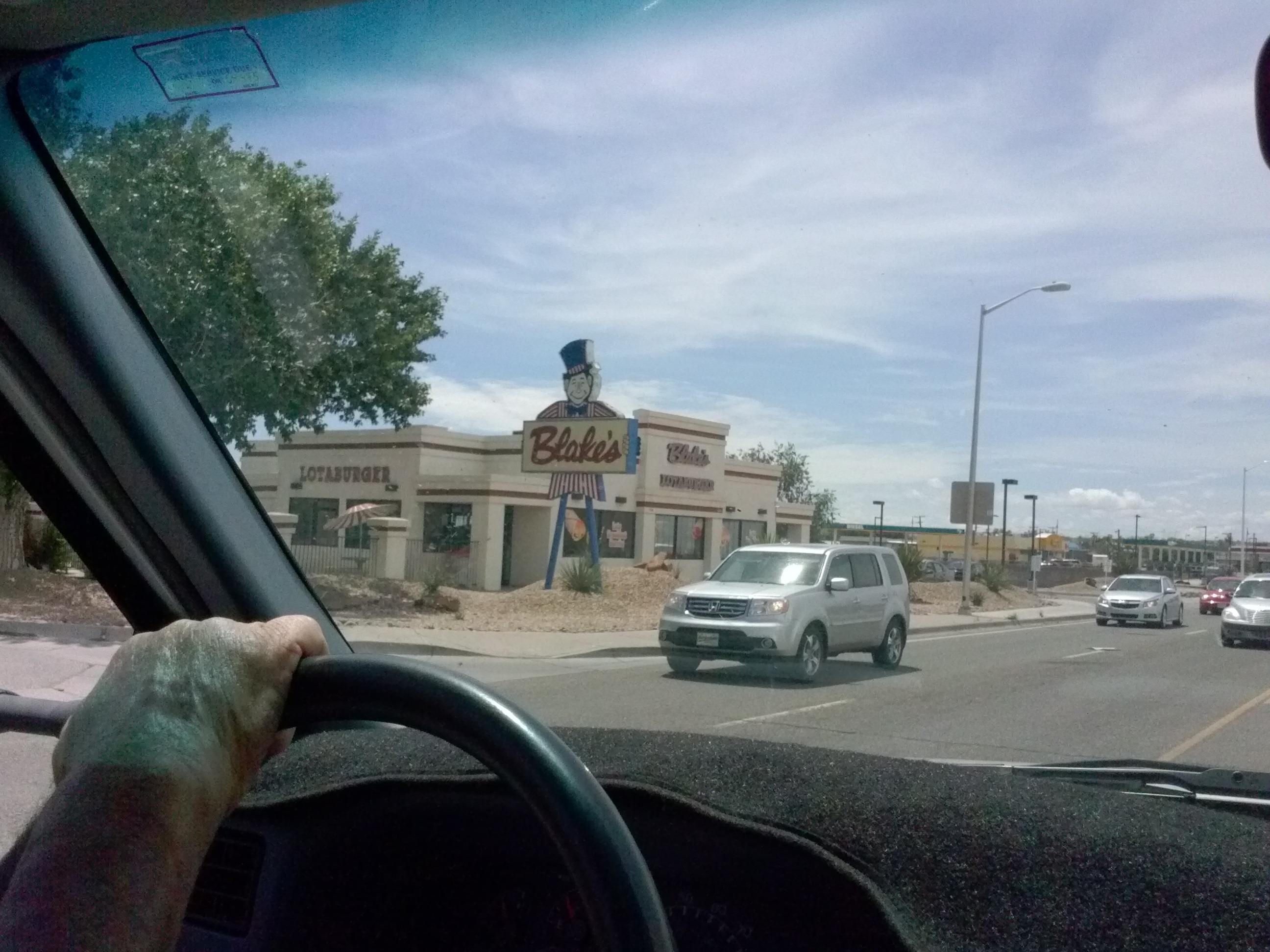
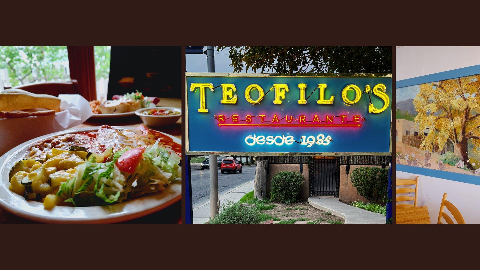
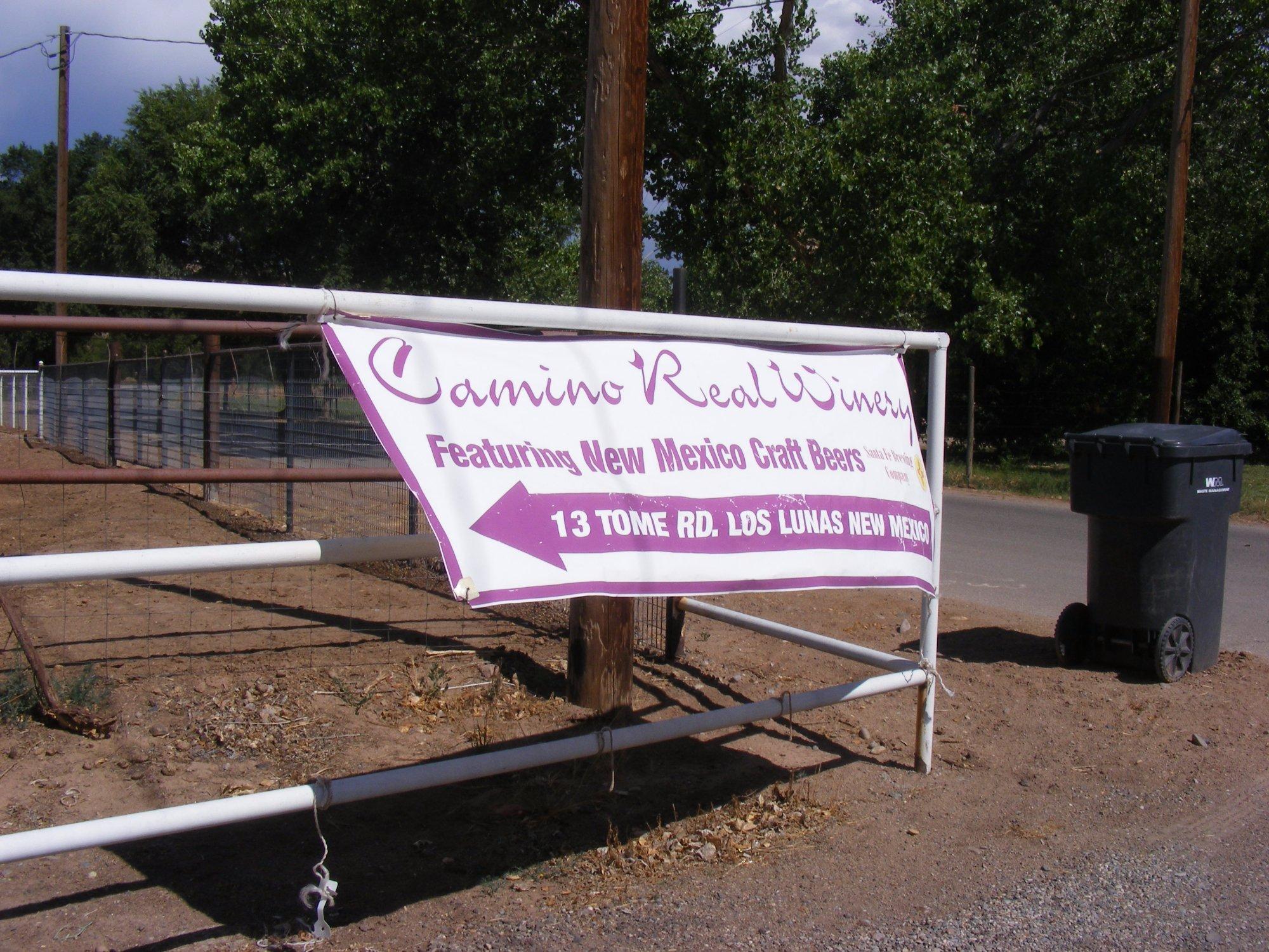
Dine and drink
Eat and drink your way through town.
Can't-miss activities
Culture, natural beauty, and plain old fun.
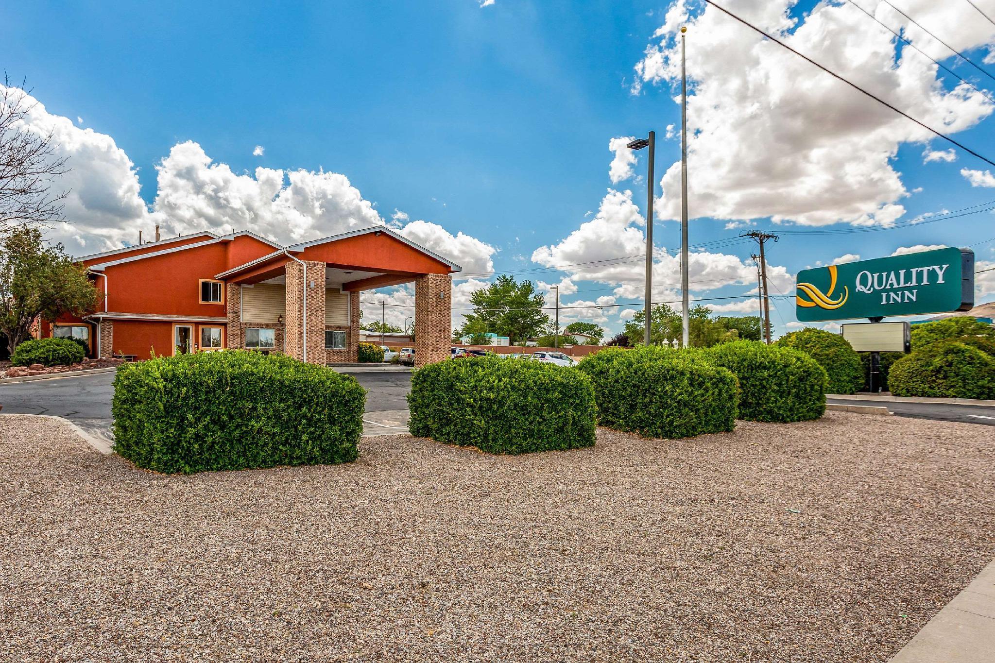
Places to stay
Hang your (vacation) hat in a place that’s just your style.
Advertisement


