Fort Sumner, NM
Advertisement
Fort Sumner, NM Map
Fort Sumner is a US city in De Baca County in the state of New Mexico. Located at the longitude and latitude of -104.245278, 34.471667 and situated at an elevation of 1,229 meters. In the 2020 United States Census, Fort Sumner, NM had a population of 889 people. Fort Sumner is in the Mountain Standard Time timezone at Coordinated Universal Time (UTC) -7. Find directions to Fort Sumner, NM, browse local businesses, landmarks, get current traffic estimates, road conditions, and more.
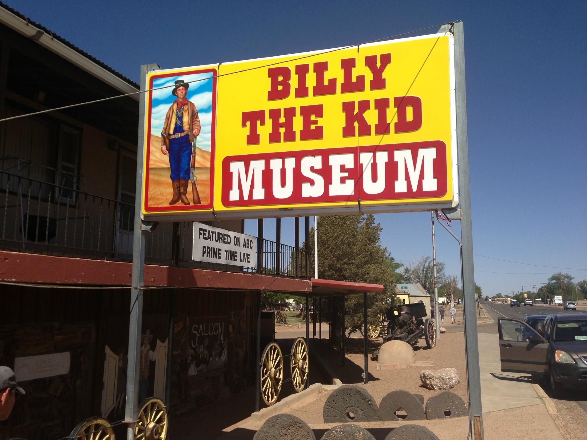
Fort Sumner, located in New Mexico, is most notably recognized as the final resting place of the infamous outlaw Billy the Kid. The town's historical allure is centered around the Old Fort Sumner Museum, which houses the Billy the Kid Tombstone and a collection of artifacts that paint a vivid image of the Wild West era. This small town has a storied past, originally established as a military fort in the 1860s. It played a significant role during the Navajo Long Walk, serving as an internment camp for the Navajo and Mescalero Apache people at the Bosque Redondo Reservation.
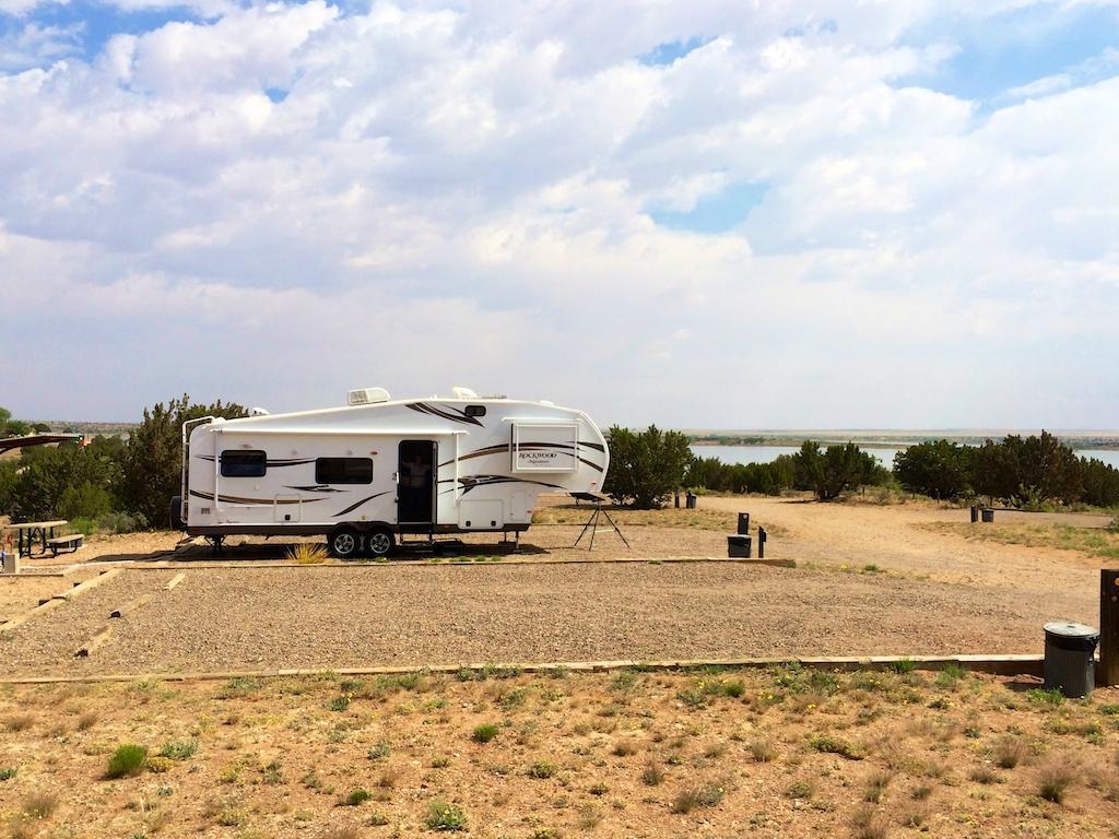
Visitors to Fort Sumner can explore the Bosque Redondo Memorial, which offers a sobering reflection on the area's history and the trials faced by the indigenous people. The town's cultural landscape is further enriched by the Fort Sumner State Monument, where one can learn about the fort's origins and its evolution over time. For those interested in the more natural aspects of the region, Lake Sumner State Park provides opportunities for fishing, boating, and camping, offering a tranquil contrast to the town's historical sites. Fort Sumner is a unique blend of history and nature, providing insights into both the hardships and the scenic beauty of New Mexico.
Nearby cities include: House, NM, Melrose, NM, Santa Rosa, NM, Newkirk, NM, Floyd, NM, Elida, NM, Vaughn, NM, Portales, NM, Tucumcari, NM, Grady, NM.
Places in Fort Sumner
Dine and drink
Eat and drink your way through town.
Can't-miss activities
Culture, natural beauty, and plain old fun.
Places to stay
Hang your (vacation) hat in a place that’s just your style.
Advertisement


