Bernalillo, NM Map
Bernalillo is a US city in Sandoval County in the state of New Mexico. Located at the longitude and latitude of -106.551944, 35.309444 and situated at an elevation of 1,540 meters. In the 2020 United States Census, Bernalillo, NM had a population of 8,977 people. Bernalillo is in the Mountain Standard Time timezone at Coordinated Universal Time (UTC) -7. Find directions to Bernalillo, NM, browse local businesses, landmarks, get current traffic estimates, road conditions, and more.
Bernalillo, located in the heart of New Mexico, is a town steeped in history and rich cultural heritage. Known for its pivotal role in the early Spanish colonization of the region, Bernalillo offers a glimpse into the past with attractions such as the Coronado Historic Site. This site is famous for the ruins of the ancient Kuaua Pueblo and the remarkable murals that date back to the 14th century, providing insight into the lives of the Native American peoples who once thrived in the area. The town's annual Las Fiestas de San Lorenzo, a vibrant celebration featuring traditional dances and music, highlights Bernalillo's enduring cultural traditions and community spirit.
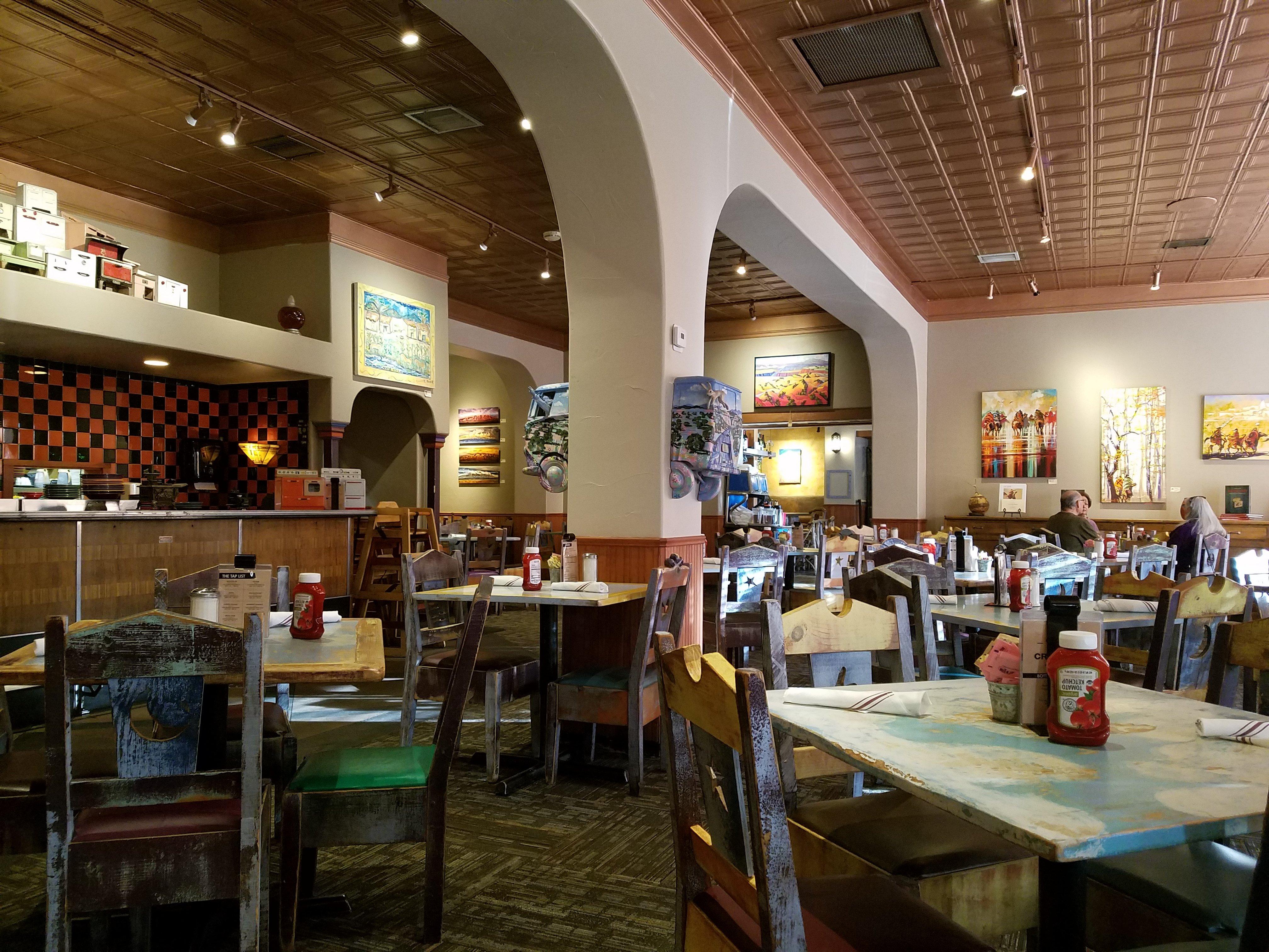
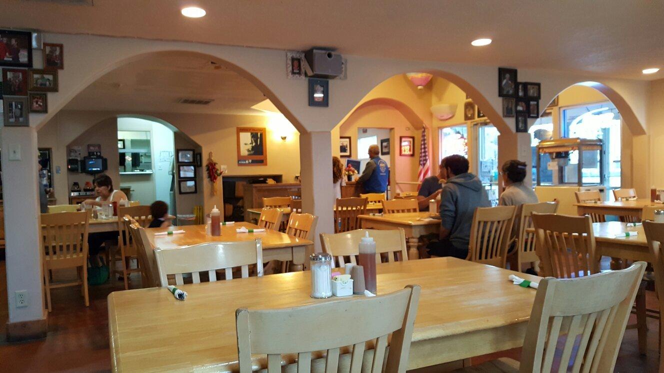
Visitors to Bernalillo can explore the town's charming Main Street, which is dotted with local shops and eateries offering authentic New Mexican cuisine. The town's proximity to the Rio Grande provides opportunities for outdoor activities such as hiking and bird-watching in nearby natural spots. The Santa Ana Star Casino is a popular entertainment venue offering gaming, dining, and live performances. Bernalillo's unique blend of history, culture, and natural beauty makes it a notable destination for those exploring the enchanting landscapes of New Mexico.
Nearby cities include: Algodones, NM, Corrales, NM, Placitas, NM, Rio Rancho, NM, Santa Ana Pueblo, NM, Sandia Heights, NM, North Valley, NM, Paradise Hills, NM, Los Ranchos de Albuquerque, NM, Lee Acres, NM.