Mine Hill, NJ
Advertisement
Mine Hill Township, NJ Map
Mine Hill Township is a US city in Morris County in the state of New Jersey. Located at the longitude and latitude of -74.600800, 40.878200 and situated at an elevation of 866 meters. In the 2020 United States Census, Mine Hill Township, NJ had a population of 4,015 people. Mine Hill Township is in the Eastern Standard Time timezone at Coordinated Universal Time (UTC) -5. Find directions to Mine Hill Township, NJ, browse local businesses, landmarks, get current traffic estimates, road conditions, and more.
Mine Hill Township, located in New Jersey, is a small community with a rich historical background rooted in its iron mining heritage. The township is known for its historical significance in the iron industry during the 18th and 19th centuries, with several old mining sites scattered throughout the area. The remnants of this era can be explored in local parks and trails, offering a glimpse into the past for history enthusiasts. The township’s name itself is a nod to its mining legacy, which played a crucial role in the development of the region.
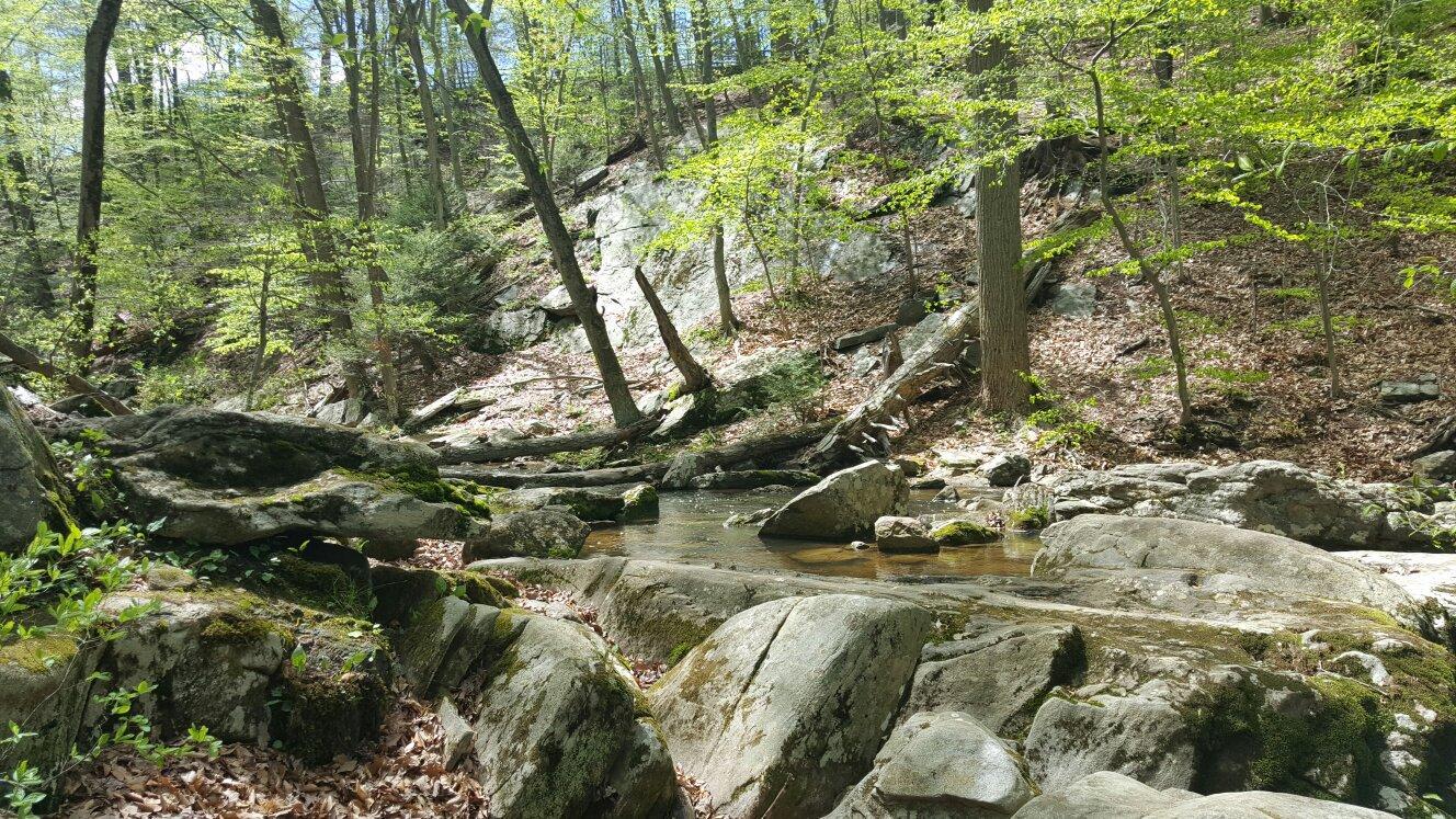
Visitors to Mine Hill Township can enjoy the natural beauty and recreational opportunities available at Hedden Park, a popular spot for hiking, picnicking, and enjoying the serene environment. The township also features a variety of community events and activities throughout the year, fostering a close-knit atmosphere for residents and visitors alike. The preservation of its historical elements, combined with modern amenities, makes Mine Hill Township a charming destination for those interested in exploring New Jersey's industrial past and enjoying outdoor activities.
Nearby cities include: Kenvil, NJ, Wharton, NJ, Dover, NJ, Roxbury, NJ, Randolph, NJ, Randolph, NJ, Ledgewood, NJ, Victory Gardens, NJ, Mount Arlington, NJ, Landing, NJ.
Places in Mine Hill
Dine and drink
Eat and drink your way through town.
Can't-miss activities
Culture, natural beauty, and plain old fun.
Places to stay
Hang your (vacation) hat in a place that’s just your style.
Advertisement


