Manahawkin, NJ
Advertisement
Manahawkin, NJ Map
Manahawkin is a US city in Ocean County in the state of New Jersey. Located at the longitude and latitude of -74.253330, 39.695830 and situated at an elevation of 7 meters. In the 2020 United States Census, Manahawkin, NJ had a population of 2,413 people. Manahawkin is in the Eastern Standard Time timezone at Coordinated Universal Time (UTC) -5. Find directions to Manahawkin, NJ, browse local businesses, landmarks, get current traffic estimates, road conditions, and more.
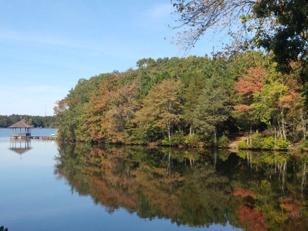
Manahawkin, New Jersey, serves as a gateway to the popular Long Beach Island, making it a strategic spot for travelers looking to explore the Jersey Shore. Known for its easy access to coastal attractions, Manahawkin offers a blend of suburban charm and seaside allure. Visitors often stop by the Manahawkin Lake Park, which provides a serene setting for picnics and leisurely walks. The town is also home to the Stafford Township Arts Center, a venue that showcases a variety of performances and cultural events, enriching the local arts scene.
Historically, Manahawkin has roots dating back to the 18th century, with its name believed to originate from a Lenape word meaning "land of good corn." This historical context adds a layer of depth to the town, which has grown from its agricultural beginnings into a bustling community. The area carries a quaint historical charm, with remnants of its past still visible in local architecture and historical markers. For those interested in maritime history, the nearby Barnegat Lighthouse State Park offers insights into the region's nautical past, just a short drive from Manahawkin.
Nearby cities include: Barnegat, NJ, Eagleswood, NJ, Ship Bottom, NJ, Barnegat, NJ, Surf City, NJ, Harvey Cedars, NJ, Long Beach, NJ, Waretown, NJ, Tuckerton, NJ, Barnegat Light, NJ.
Places in Manahawkin
Dine and drink
Eat and drink your way through town.
Can't-miss activities
Culture, natural beauty, and plain old fun.
Places to stay
Hang your (vacation) hat in a place that’s just your style.
Advertisement


