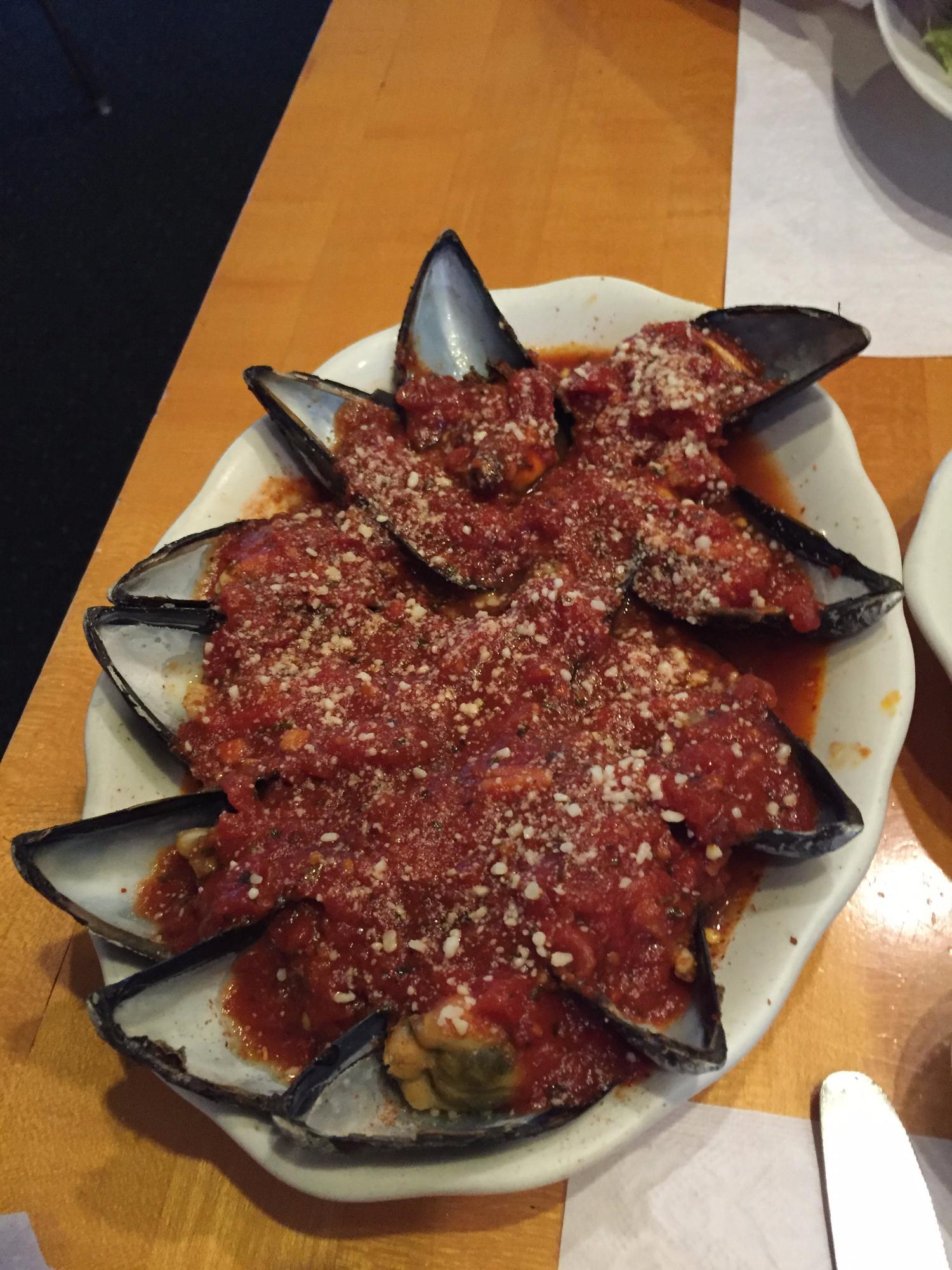
Hopatcong, NJ
Advertisement
Hopatcong, NJ Map
Hopatcong is a US city in Sussex County in the state of New Jersey. Located at the longitude and latitude of -74.659700, 40.952400 and situated at an elevation of 997 meters. In the 2020 United States Census, Hopatcong, NJ had a population of 14,362 people. Hopatcong is in the Eastern Standard Time timezone at Coordinated Universal Time (UTC) -5. Find directions to Hopatcong, NJ, browse local businesses, landmarks, get current traffic estimates, road conditions, and more.
Hopatcong, nestled in the scenic landscapes of New Jersey, is primarily known for its proximity to Lake Hopatcong, the largest freshwater body in the state. This lake, once a vibrant resort destination during the early 20th century, continues to be a hub of recreational activities. Visitors and residents alike indulge in boating, fishing, and swimming during the warmer months. The serene surroundings of Hopatcong State Park offer a perfect escape for picnicking and hiking, making it a popular spot for nature enthusiasts.
The town has a rich history, with its roots dating back to its time as a summer retreat for affluent New Yorkers. Historical remnants, such as the Lake Hopatcong Historical Museum, provide insight into the area's past, showcasing artifacts and stories from its resort heyday. Today, Hopatcong blends its historical charm with modern suburban living, offering a tranquil environment with easy access to outdoor adventures. The town's community events and local eateries add to its appeal, making it a charming destination for those seeking a peaceful getaway.
Nearby cities include: Hopatcong Hills, NJ, Lake Hopatcong, NJ, Mount Arlington, NJ, Byram Center, NJ, Landing, NJ, Port Morris, NJ, Stanhope, NJ, Netcong, NJ, Roxbury, NJ, Andover, NJ.
Places in Hopatcong
Dine and drink
Eat and drink your way through town.
Can't-miss activities
Culture, natural beauty, and plain old fun.
Places to stay
Hang your (vacation) hat in a place that’s just your style.
Advertisement


