Woodsville, NH
Advertisement
Woodsville, NH Map
Woodsville is a US city in Grafton County in the state of New Hampshire. Located at the longitude and latitude of -72.036944, 44.152222 and situated at an elevation of 139 meters. In the 2020 United States Census, Woodsville, NH had a population of 1,431 people. Woodsville is in the Eastern Standard Time timezone at Coordinated Universal Time (UTC) -5. Find directions to Woodsville, NH, browse local businesses, landmarks, get current traffic estimates, road conditions, and more.
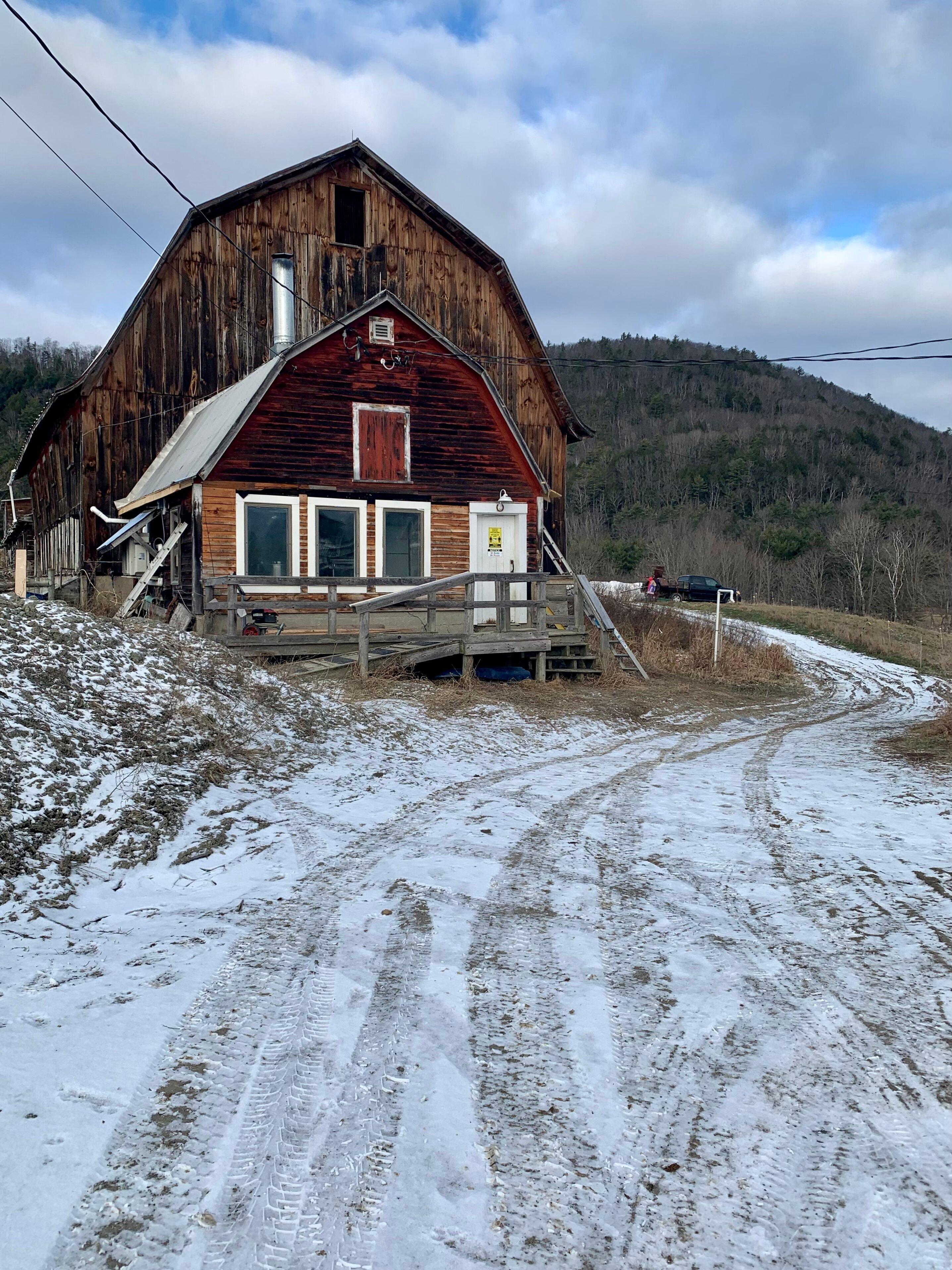
Woodsville, located in New Hampshire, is a quaint village known for its charming historical character and picturesque landscapes. It serves as a gateway to the White Mountains, making it a popular spot for those interested in outdoor activities such as hiking, skiing, and exploring the natural beauty of the region. The town is anchored by the historic Woodsville Railroad Station, a nod to its past as a bustling railway hub. This heritage is celebrated through various local events and the preservation of its vintage architecture, which offers a glimpse into its rich past.
Visitors to Woodsville can enjoy a stroll along the scenic Ammonoosuc River or explore the nearby covered bridges, which are quintessential features of the New England landscape. The town's local shops and eateries provide a cozy atmosphere, perfect for those looking to experience the warmth of New Hampshire hospitality. Additionally, Woodsville's proximity to larger natural attractions, like the White Mountain National Forest, makes it an ideal base for adventurers seeking exploration beyond the village's charming streets.
Nearby cities include: Wells River, VT, Bath, NH, North Haverhill, NH, Mountain Lakes, NH, Newbury, VT, Monroe, NH, Benton, NH, Lisbon, NH, Haverhill, NH, Groton, VT.
Places in Woodsville
Dine and drink
Eat and drink your way through town.
Can't-miss activities
Culture, natural beauty, and plain old fun.
Places to stay
Hang your (vacation) hat in a place that’s just your style.
Advertisement


