Milton Mills, NH
Advertisement
Milton Mills, NH Map
Milton Mills is a US city in Strafford County in the state of New Hampshire. Located at the longitude and latitude of -70.960556, 43.500000 and situated at an elevation of 462 meters. In the 2020 United States Census, Milton Mills, NH had a population of 313 people. Milton Mills is in the Eastern Standard Time timezone at Coordinated Universal Time (UTC) -5. Find directions to Milton Mills, NH, browse local businesses, landmarks, get current traffic estimates, road conditions, and more.
Milton Mills, located in New Hampshire, is a quaint and picturesque village that exudes a classic New England charm. This small community is known for its rich historical backdrop and serene rural landscapes. One of the most notable features of Milton Mills is its collection of well-preserved 19th-century architecture, which offers a glimpse into the area's past. The village is home to the historic Milton Mills Church, a focal point for both locals and visitors interested in the architectural and cultural history of the region. Additionally, Milton Mills provides easy access to the scenic beauty of the surrounding countryside, making it a peaceful retreat for those seeking to explore nature through hiking or leisurely strolls.
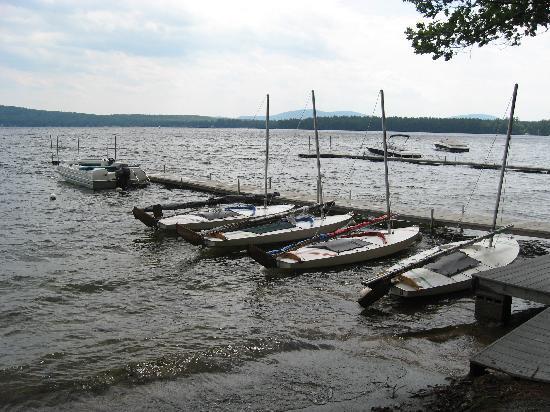
A visit to Milton Mills would not be complete without taking in the local artisan culture, which includes charming craft shops and seasonal markets that showcase the talents and produce of the local community. The village's proximity to the Salmon Falls River provides opportunities for fishing and kayaking, adding to the area's appeal for outdoor enthusiasts. While Milton Mills may not boast the bustling attractions of a larger city, its peaceful environment and historical significance make it a unique destination for those interested in exploring the quieter side of New Hampshire.
Nearby cities include: Union, NH, Acton, ME, Sanbornville, NH, Wakefield, NH, Shapleigh, ME, Milton, NH, Brookfield, NH, Springvale, ME, Lebanon, ME, Farmington, NH.
Places in Milton Mills
Dine and drink
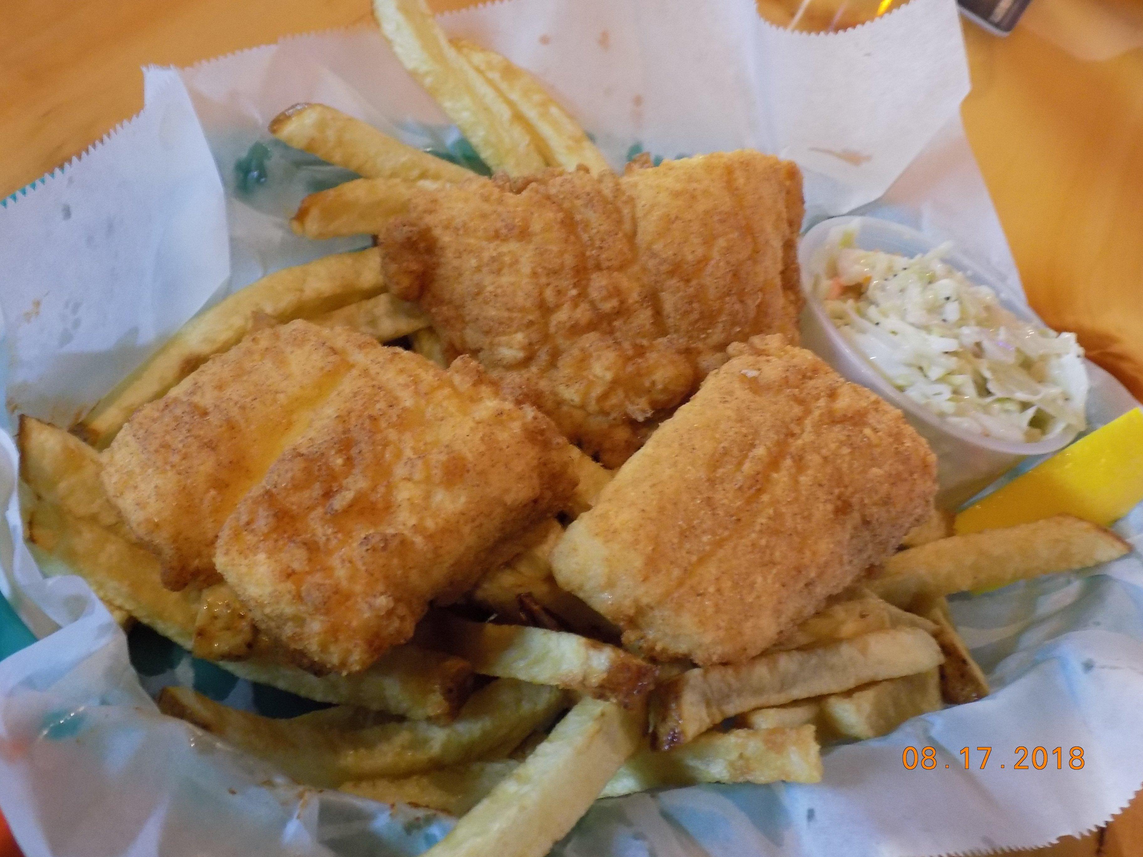
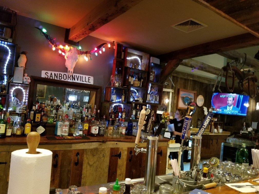
Eat and drink your way through town.
Can't-miss activities
Culture, natural beauty, and plain old fun.
Places to stay
Hang your (vacation) hat in a place that’s just your style.
Advertisement


