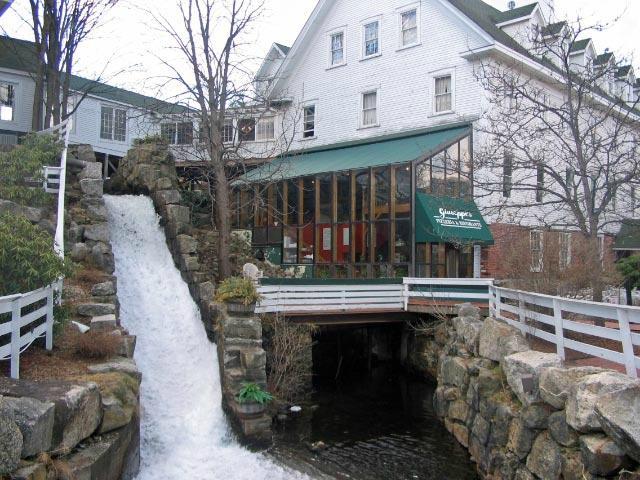
Meredith, NH
Advertisement
Meredith, NH Map
Meredith is a US city in Belknap County in the state of New Hampshire. Located at the longitude and latitude of -71.500556, 43.657778 and situated at an elevation of 155 meters. In the 2020 United States Census, Meredith, NH had a population of 6,662 people. Meredith is in the Eastern Standard Time timezone at Coordinated Universal Time (UTC) -5. Find directions to Meredith, NH, browse local businesses, landmarks, get current traffic estimates, road conditions, and more.
Meredith, located in New Hampshire, is a charming town known for its picturesque setting on the shores of Lake Winnipesaukee. This quaint locale is a haven for outdoor enthusiasts and those seeking a serene escape. Meredith's history dates back to the late 18th century, and it has evolved from a small agricultural community to a popular tourist destination. The town's rich history is reflected in its well-preserved architecture and local museums that offer a glimpse into its past.
Among the popular attractions in Meredith is the scenic Meredith Marina, where visitors can enjoy boating, fishing, and other water activities. The town is also home to the Winnipesaukee Scenic Railroad, which offers a unique way to explore the area's stunning landscapes. Another notable spot is the Hermit Woods Winery, known for its handcrafted wines and intimate tasting experiences. Meredith's welcoming atmosphere and array of activities make it a delightful destination for travelers seeking both relaxation and adventure.
Nearby cities include: Center Harbor, NH, Holderness, NH, Ashland, NH, New Hampton, NH, Moultonborough, NH, Gilford, NH, Laconia, NH, Sandwich, NH, Center Sandwich, NH, Plymouth, NH.
Places in Meredith
Dine and drink
Eat and drink your way through town.
Can't-miss activities
Culture, natural beauty, and plain old fun.
Places to stay
Hang your (vacation) hat in a place that’s just your style.
Advertisement


