


Londonderry, NH
Advertisement
Londonderry, NH Map
Londonderry is a US city in Rockingham County in the state of New Hampshire. Located at the longitude and latitude of -71.373889, 42.865000 and situated at an elevation of 128 meters. In the 2020 United States Census, Londonderry, NH had a population of 25,826 people. Londonderry is in the Eastern Standard Time timezone at Coordinated Universal Time (UTC) -5. Find directions to Londonderry, NH, browse local businesses, landmarks, get current traffic estimates, road conditions, and more.
Londonderry, New Hampshire, is a town known for its rich agricultural heritage and quintessential New England charm. One of its most celebrated features is its abundance of apple orchards, which draw visitors each fall for apple picking and cider tasting. Mack's Apples, a family-owned farm since 1732, is a particularly popular destination, offering a variety of apples, pumpkins, and local produce. The town's history is rooted in its Scottish-Irish settlers, which is reflected in its name and the community's cultural events. Londonderry is also home to the Londonderry Rail Trail, a scenic path perfect for walking, biking, and enjoying the natural beauty of the area.
In addition to its agricultural attractions, Londonderry boasts a vibrant community life with events such as the annual Old Home Day, which features parades, fireworks, and a variety of family-friendly activities. The town's historical society preserves and shares its heritage, with the Morrison House Museum offering insights into Londonderry's past. For those interested in shopping and dining, the town provides a range of options from local boutiques to popular dining spots. Londonderry's blend of history, culture, and natural beauty makes it a charming destination for those exploring New Hampshire.
Nearby cities include: Derry, NH, Derry, NH, Litchfield, NH, Windham, NH, Merrimack, NH, Hudson, NH, Chester, NH, Nashua, NH, Bedford, NH, Pelham, NH.
Places in Londonderry
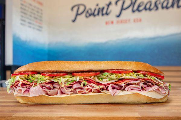
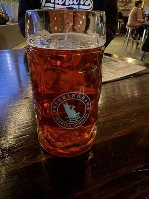
Dine and drink
Eat and drink your way through town.


Can't-miss activities
Culture, natural beauty, and plain old fun.


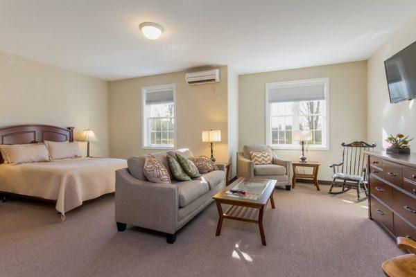
Places to stay
Hang your (vacation) hat in a place that’s just your style.


Advertisement