Bristol, NH
Advertisement
Bristol Map
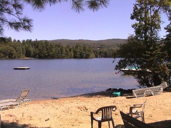
Bristol is a town in Grafton County, New Hampshire, United States. The population was 3,054 at the 2010 census. It is home to Wellington State Park, Sugar Hill State Forest, and Profile Falls on the Smith River. Surrounded by hills and lakes, Bristol includes the lower two-thirds of Newfound Lake, a resort area.
The primary settlement in town, where 1,688 people resided at the 2010 census, is defined by the U.S. Census Bureau as the Bristol census-designated place (CDP) and is located at the intersection of New Hampshire routes 3A and 104.
The town was incorporated in 1819. Extensive deposits of fine sand or clay similar to the "Bristol sand" used in Bristol, England to make fine china and pottery gave the town its name. Here the sand was used to make a superior quality brick, marketed as Bristol brick. With water power from the Pemigewasset River, the town was a center of manufacturing in the early days for goods such as paper, leather, woolens, flannel, bedsteads and piano stools.
Nearby cities include Franklin, Plymouth, Meredith, Laconia, Canaan.
Places in Bristol
Dine and drink
Eat and drink your way through town.
Can't-miss activities
Culture, natural beauty, and plain old fun.
Places to stay
Hang your (vacation) hat in a place that’s just your style.
Advertisement


