Andes, NY
Advertisement
Andes, NY Map
Andes is a US city in Delaware County in the state of New York. Located at the longitude and latitude of -74.785833, 42.188889 and situated at an elevation of 489 meters. In the 2020 United States Census, Andes, NY had a population of 1,114 people. Andes is in the Eastern Standard Time timezone at Coordinated Universal Time (UTC) -5. Find directions to Andes, NY, browse local businesses, landmarks, get current traffic estimates, road conditions, and more.
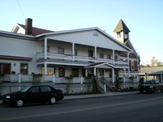
Andes, located in the state of New York, is a charming town known for its picturesque landscapes and tranquil atmosphere, making it a popular escape for those seeking respite from city life. Nestled in the Catskill Mountains, this town offers a blend of natural beauty and quaint small-town charm. Visitors can explore the Andes Rail Trail, a scenic path ideal for hiking and enjoying the lush surroundings. The town is also home to the Andes Central School, a notable historical site that reflects the area's rich educational heritage. The Main Street area is lined with antique shops, art galleries, and cozy cafes, providing a delightful experience for those who appreciate local crafts and cuisine.
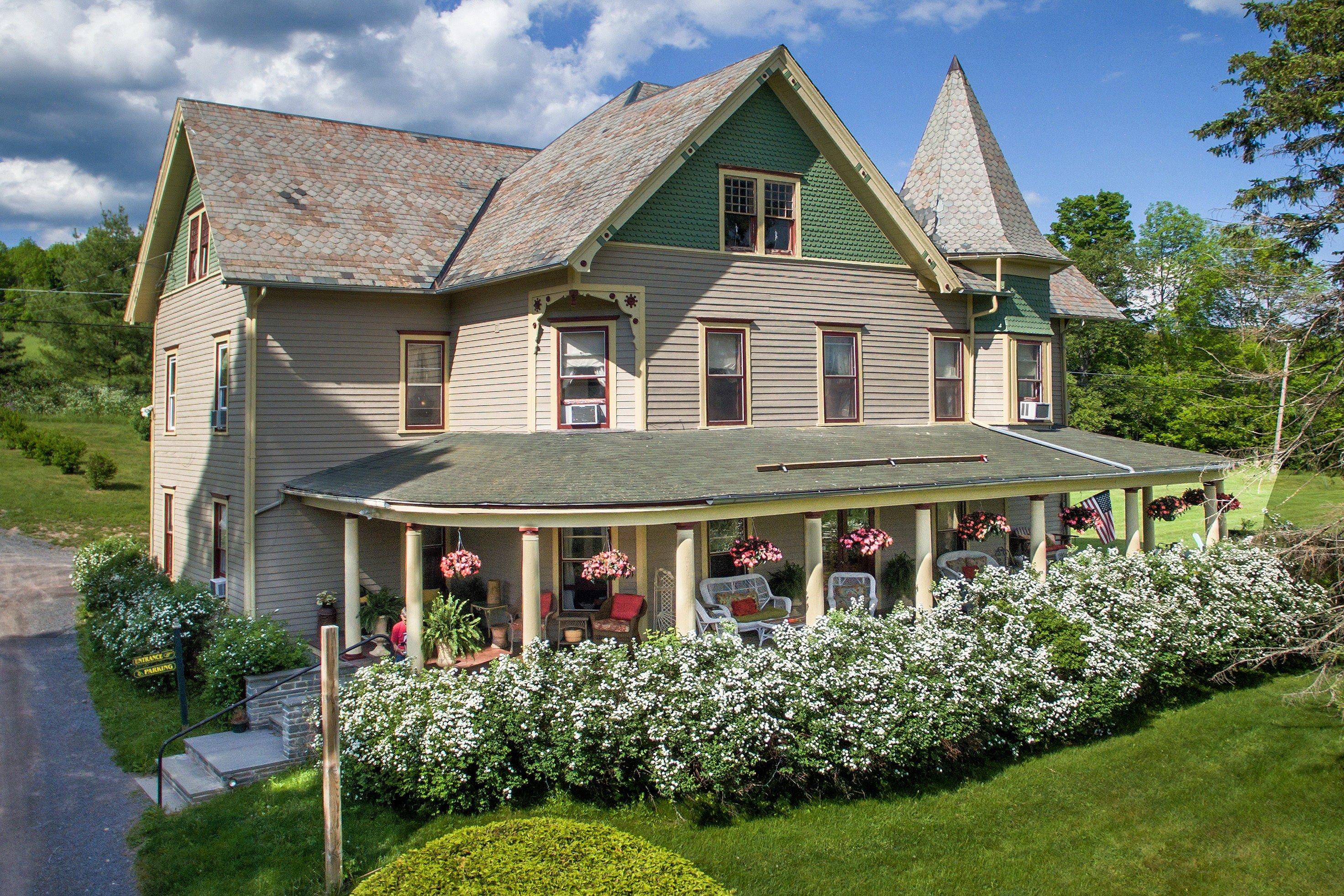
Historically, Andes has been a hub for agriculture and dairy farming, contributing to its rustic and pastoral appeal. The town has preserved much of its historical architecture, with several buildings dating back to the 19th century. The Hunting Tavern Museum offers insights into the local history and culture, making it a worthwhile stop for history enthusiasts. Additionally, Andes is known for its vibrant community events, such as the Andes Community Day, which showcases local artisans, food vendors, and live music, celebrating the town's unique spirit and sense of community. Overall, Andes presents a serene and inviting destination, rich in history and natural beauty.
Nearby cities include: Bovina, NY, Margaretville, NY, Delhi, NY, Bloomville, NY, Hamden, NY, Downsville, NY, Fleischmanns, NY, Hobart, NY, Roxbury, NY, Colchester, NY.
Places in Andes
Dine and drink
Eat and drink your way through town.
Can't-miss activities
Culture, natural beauty, and plain old fun.
Places to stay
Hang your (vacation) hat in a place that’s just your style.
Advertisement


