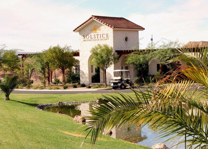
Moapa, NV
Advertisement
Moapa, NV Map
Moapa is a US city in Clark County in the state of Nevada. Located at the longitude and latitude of -114.620820, 36.675800 and situated at an elevation of 491 meters. In the 2020 United States Census, Moapa, NV had a population of 1,006 people. Moapa is in the Pacific Standard Time timezone at Coordinated Universal Time (UTC) -8. Find directions to Moapa, NV, browse local businesses, landmarks, get current traffic estimates, road conditions, and more.
Moapa, located in the state of Nevada, is a small town that serves as a gateway to the stunning natural landscapes of the Mojave Desert. Known for its proximity to the Valley of Fire State Park, Moapa offers visitors a chance to explore vibrant red sandstone formations and ancient petroglyphs. This area is a haven for outdoor enthusiasts, with opportunities for hiking, camping, and photography in the unique desert terrain. Additionally, Moapa is near the Moapa River Indian Reservation, where visitors can learn about the culture and history of the Moapa Band of Paiutes.
Historically, the town of Moapa developed as a key stop on the railroad, contributing to its growth in the early 20th century. Today, it retains a quiet charm and serves as an ideal spot for those seeking a peaceful retreat amidst Nevada's natural beauty. The town's heritage is reflected in its small community events and local attractions, making it a unique destination for those interested in the intersection of history and nature.
Nearby cities include: Moapa Town, NV, Bunkerville, NV, Mesquite, NV, Scenic, AZ, Nellis Air Force Base, NV, Littlefield, AZ, Sunrise Manor, NV, North Las Vegas, NV, Las Vegas, NV, Whitney, NV.
Places in Moapa
Dine and drink
Eat and drink your way through town.
Can't-miss activities
Culture, natural beauty, and plain old fun.
Places to stay
Hang your (vacation) hat in a place that’s just your style.
Advertisement


