Imlay, NV
Advertisement
Imlay, NV Map
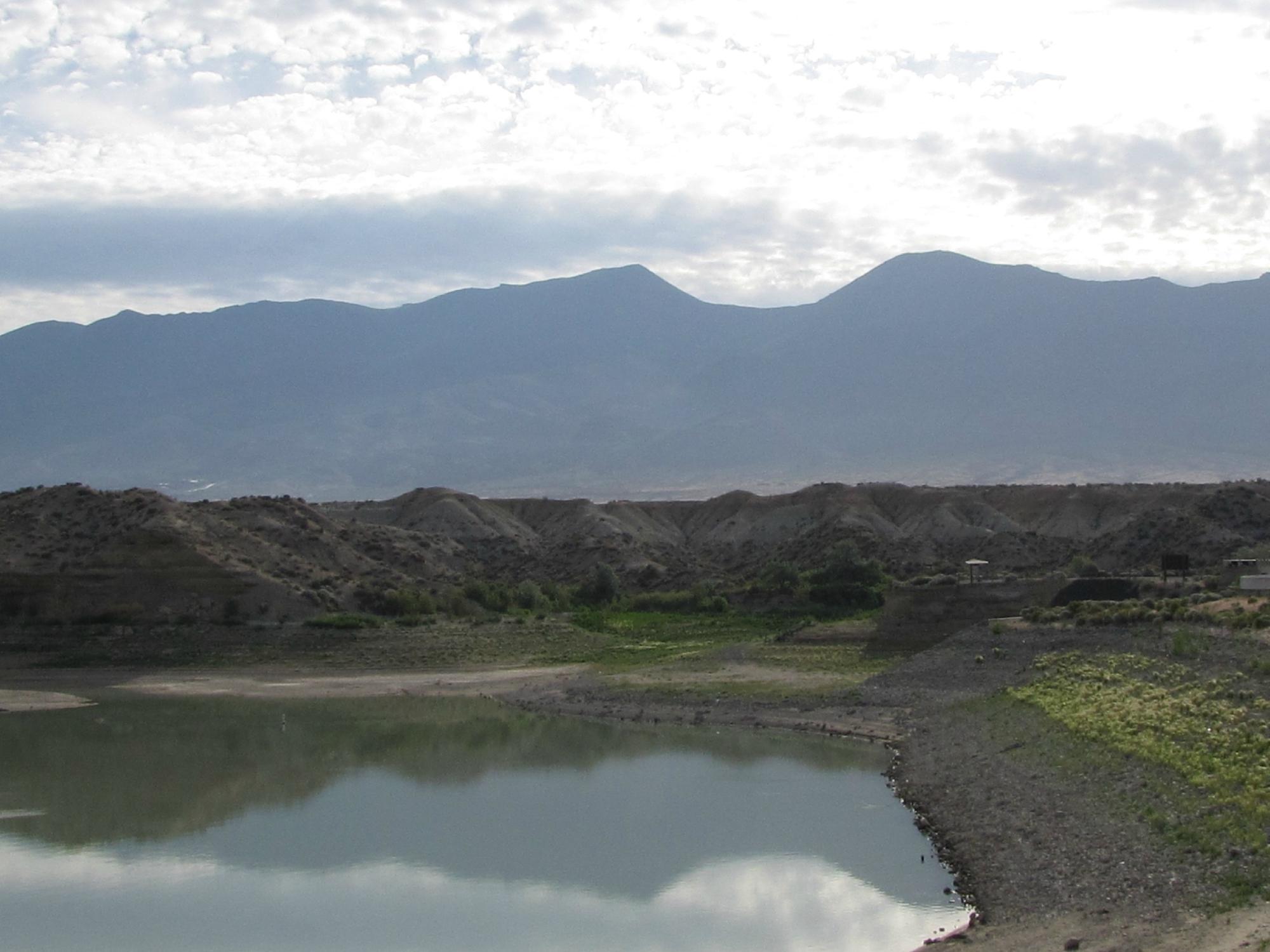
Imlay is a US city in Pershing County in the state of Nevada. Located at the longitude and latitude of -118.149167, 40.660556 and situated at an elevation of 4,204 meters. In the 2020 United States Census, Imlay, NV had a population of 210 people. Imlay is in the Pacific Standard Time timezone at Coordinated Universal Time (UTC) -8. Find directions to Imlay, NV, browse local businesses, landmarks, get current traffic estimates, road conditions, and more.
Imlay, Nevada, is a small, intriguing spot in the vast expanse of the American West, known primarily for its close proximity to Thunder Mountain Monument. This eclectic roadside attraction, built by Frank Van Zant, also known as Chief Rolling Mountain Thunder, is an artistic endeavor constructed from recycled materials and dedicated to Native American culture and spirituality. Visitors often find themselves captivated by the monument's unique architecture and the personal story behind its creation. Imlay serves as a gateway to exploring this unusual and inspiring site, which is a testament to individual creativity and resilience.
While Imlay itself may not boast a plethora of attractions, its charm lies in the surrounding landscape and the spirit of adventure it incites. The area is a haven for those interested in the history and culture of the American West, with opportunities to explore the high desert terrain and its natural beauty. Travelers often appreciate the solitude and vast open skies, making it a suitable pit stop for those traversing the Interstate 80 corridor. Whether you're an art enthusiast or simply passing through, Imlay offers a glimpse into a lesser-known side of Nevada's rich tapestry.
Nearby cities include: Winnemucca, NV, Lovelock, NV, Golconda, NV, Valmy, NV, Battle Mountain, NV, Orovada, NV, Paradise Valley, NV, Crescent Valley, NV, Nixon, NV, Fallon, NV.
Places in Imlay
Dine and drink
Eat and drink your way through town.
Can't-miss activities
Culture, natural beauty, and plain old fun.
Places to stay
Hang your (vacation) hat in a place that’s just your style.
Advertisement


