


Hemingford, NE
Advertisement
Hemingford, NE Map
Hemingford is a US city in Box Butte County in the state of Nebraska. Located at the longitude and latitude of -103.074000, 42.320000 and situated at an elevation of 1,300 meters. In the 2020 United States Census, Hemingford, NE had a population of 787 people. Hemingford is in the Mountain Standard Time timezone at Coordinated Universal Time (UTC) -7. Find directions to Hemingford, NE, browse local businesses, landmarks, get current traffic estimates, road conditions, and more.
Hemingford, located in the state of Nebraska, is a quaint town known for its small-town charm and agricultural roots. The town is steeped in history, with its origins dating back to the late 19th century when it was established as a stop on the Chicago, Burlington and Quincy Railroad. This historical connection is evident in the town's architecture and community events, which often celebrate its rich past. Hemingford is also known for its annual Box Butte County Fair, a vibrant event that showcases the local agricultural community with livestock shows, rodeos, and a parade, drawing visitors from the surrounding areas.
Visitors to Hemingford can explore a number of local attractions that highlight the town's community spirit and natural beauty. The Hemingford Community Care Center is a cornerstone of the town, offering a glimpse into the caring and tight-knit community that defines Hemingford. For those interested in outdoor activities, the nearby Pine Ridge area provides opportunities for hiking, bird watching, and enjoying the scenic landscapes of Nebraska. The town's friendly atmosphere and historical significance make it a unique destination for those seeking a slice of rural American life.
Nearby cities include: Marsland, NE, Alliance, NE, Crawford, NE, Hay Springs, NE, Whitney, NE, Chadron, NE, Bayard, NE, Minatare, NE, Rushville, NE, Scottsbluff, NE.
Places in Hemingford
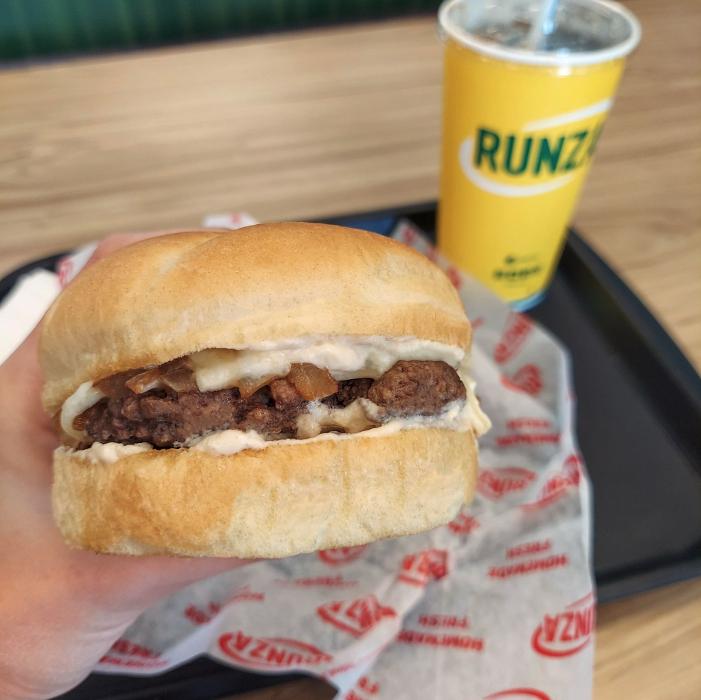
Dine and drink
Eat and drink your way through town.


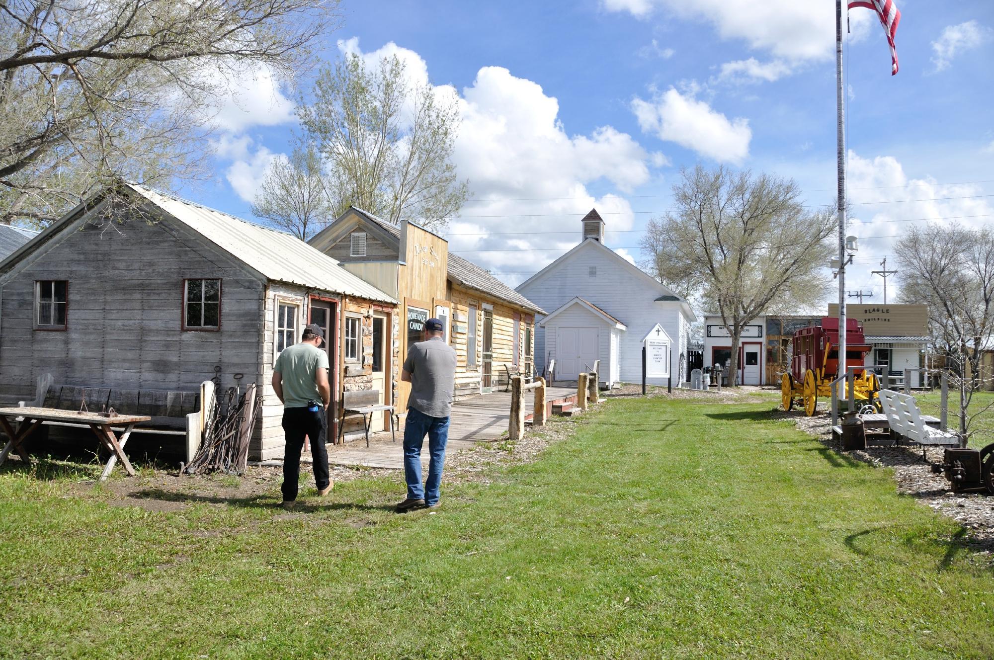
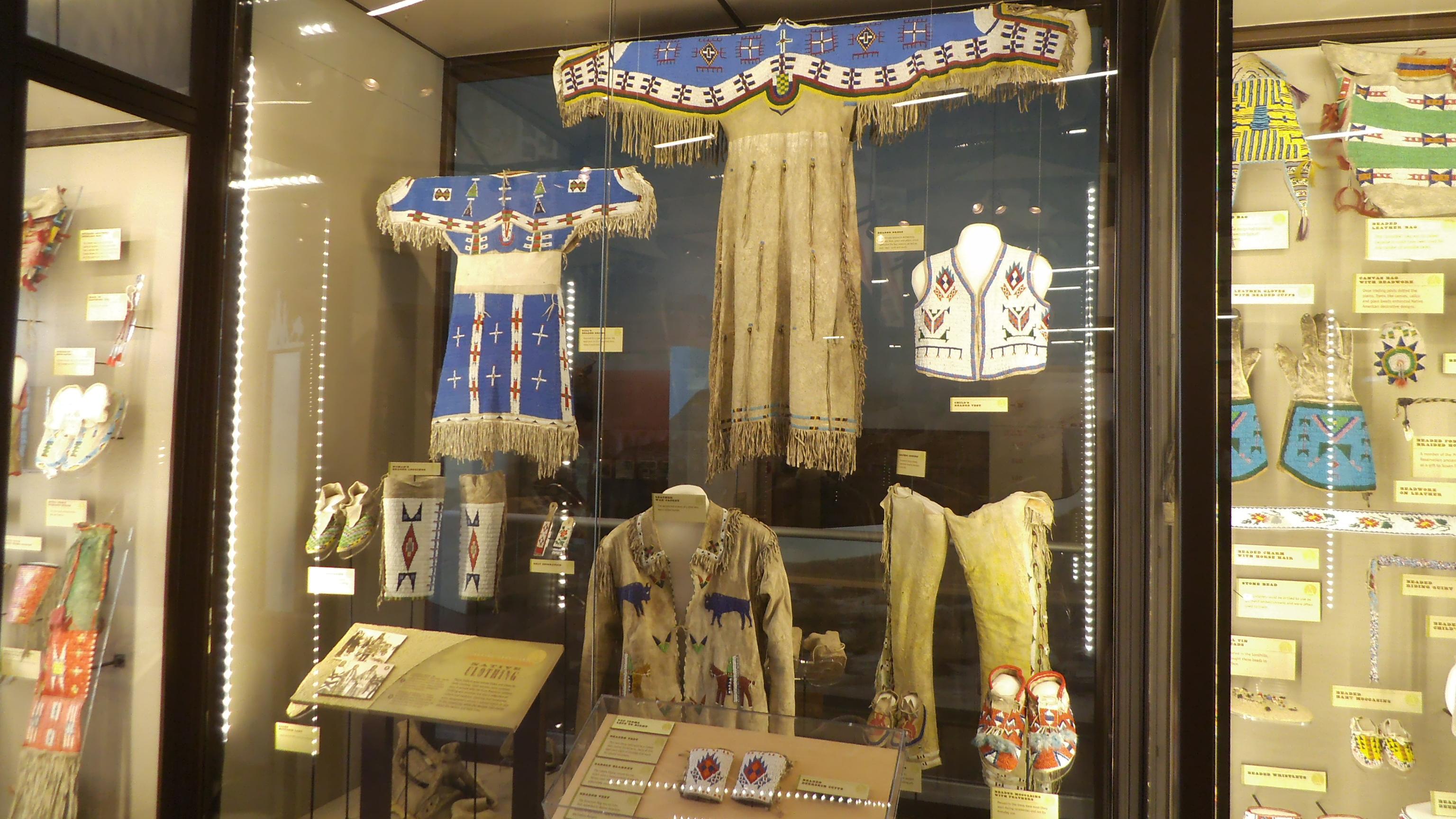
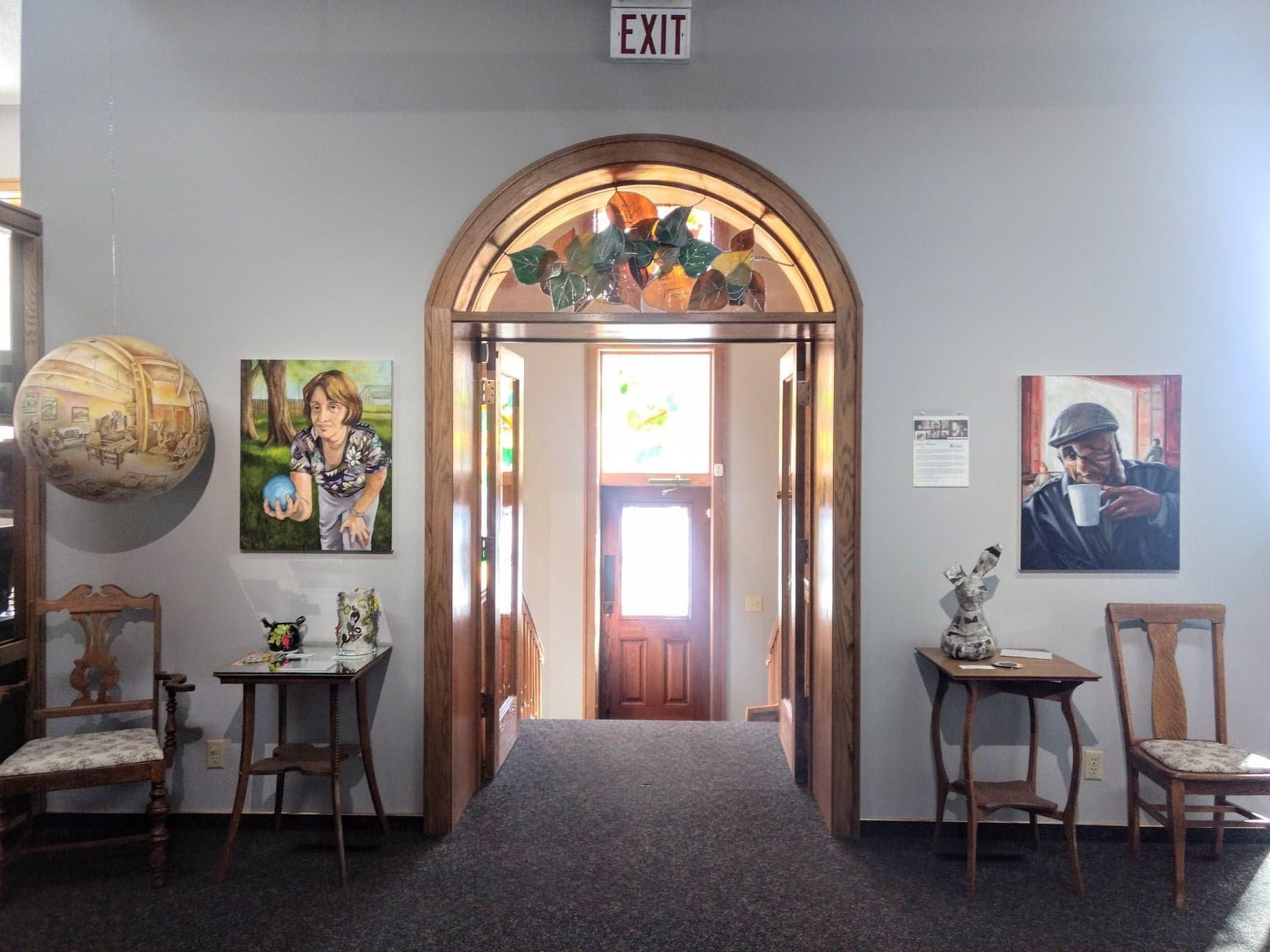
Can't-miss activities
Culture, natural beauty, and plain old fun.

Places to stay
Hang your (vacation) hat in a place that’s just your style.
Advertisement