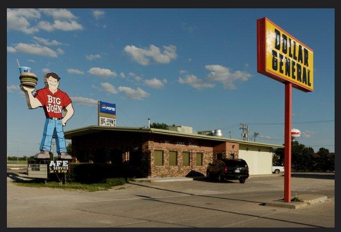
Ainsworth, NE
Advertisement
Ainsworth, NE Map
Ainsworth is a US city in Brown County in the state of Nebraska. Located at the longitude and latitude of -99.858889, 42.547500 and situated at an elevation of 768 meters. In the 2020 United States Census, Ainsworth, NE had a population of 1,616 people. Ainsworth is in the Central Standard Time timezone at Coordinated Universal Time (UTC) -6. Find directions to Ainsworth, NE, browse local businesses, landmarks, get current traffic estimates, road conditions, and more.
Ainsworth, located in the heart of Nebraska, is a quintessential small town known for its rich agricultural heritage and tight-knit community. The city serves as a hub for ranching and farming activities, reflecting the robust rural lifestyle that characterizes much of Nebraska. Ainsworth is particularly recognized for its annual events and fairs, which celebrate the local culture and bring together residents and visitors alike. One of the highlights is the Ainsworth Rodeo, an event that showcases the skills and traditions of the region's cowboy culture.
Visitors to Ainsworth can explore several local attractions that offer a glimpse into the area's history and natural beauty. The Ainsworth Railroad Depot Museum provides an insightful look into the town's development and the vital role that the railroad played in its growth. For outdoor enthusiasts, nearby parks and nature trails offer opportunities for hiking and bird-watching, making it a pleasant destination for those seeking a peaceful retreat. The city’s charming downtown area also features a selection of local shops and eateries, providing a taste of authentic Midwestern hospitality.
Nearby cities include: Long Pine, NE, Johnstown, NE, Bassett, NE, Springview, NE, Wood Lake, NE, Newport, NE, Burton, NE, Rames, SD, Huggins, SD, Keyapaha, SD.
Places in Ainsworth
Dine and drink
Eat and drink your way through town.
Can't-miss activities
Culture, natural beauty, and plain old fun.
Places to stay
Hang your (vacation) hat in a place that’s just your style.
Advertisement


