


West Fargo, ND
Advertisement
West Fargo, ND Map
West Fargo is a US city in Cass County in the state of North Dakota. Located at the longitude and latitude of -96.900360, 46.874970 and situated at an elevation of 273 meters. In the 2020 United States Census, West Fargo, ND had a population of 38,626 people. West Fargo is in the Central Standard Time timezone at Coordinated Universal Time (UTC) -6. Find directions to West Fargo, ND, browse local businesses, landmarks, get current traffic estimates, road conditions, and more.
West Fargo, North Dakota, is a city that boasts a charming blend of small-town warmth and modern amenities. Known for its family-friendly atmosphere and burgeoning community spirit, West Fargo is often regarded as a vibrant place to live and visit. The city is home to the Red River Valley Fairgrounds, a popular venue that hosts a variety of events throughout the year, including the annual Red River Valley Fair, which draws crowds for its exciting rides, live entertainment, and traditional fair food. Another notable attraction is Bonanzaville, a pioneer village and museum complex that offers visitors a glimpse into the region's rich history, showcasing artifacts and buildings from the late 19th and early 20th centuries.
Historically, West Fargo has evolved significantly since its founding in the mid-20th century. Originally a small agricultural community, it has grown into a dynamic city that maintains strong ties to its roots while embracing progress and development. The city also features a variety of parks and recreational facilities, such as the Shadow Wood Park and Rendezvous Park, which provide ample opportunities for outdoor activities and relaxation. West Fargo's dedication to community and quality of life is evident in its well-maintained public spaces and the array of community events that bring residents and visitors together throughout the year.
Nearby cities include: Barnes, ND, Reile's Acres, ND, Mapleton, ND, Reed, ND, Prairie Rose, ND, Fargo, ND, Raymond, ND, Frontier, ND, Moorhead, MN, North River, ND.
Places in West Fargo
Dine and drink
Eat and drink your way through town.


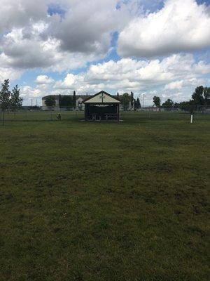
Can't-miss activities
Culture, natural beauty, and plain old fun.


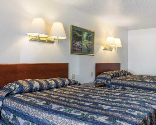
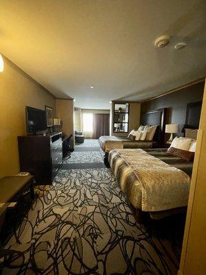
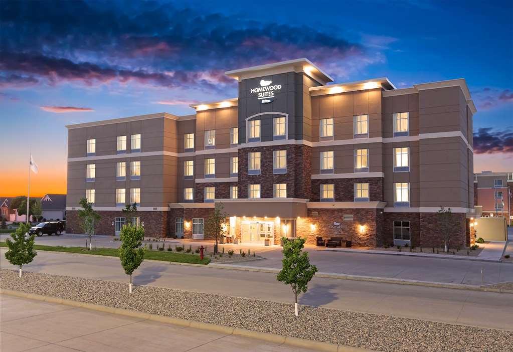
Places to stay
Hang your (vacation) hat in a place that’s just your style.

Advertisement