Valley City, ND
Advertisement
Valley City, ND Map
Valley City is a US city in Barnes County in the state of North Dakota. Located at the longitude and latitude of -98.005556, 46.924722 and situated at an elevation of 371 meters. In the 2020 United States Census, Valley City, ND had a population of 6,575 people. Valley City is in the Central Standard Time timezone at Coordinated Universal Time (UTC) -6. Find directions to Valley City, ND, browse local businesses, landmarks, get current traffic estimates, road conditions, and more.
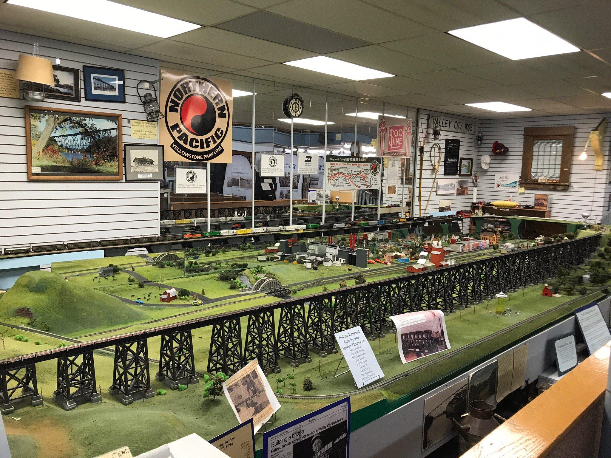
Valley City, located in North Dakota, is renowned for its picturesque landscapes and historical significance. Often referred to as the "City of Bridges," it is home to over a dozen bridges that span the Sheyenne River, including the notable Hi-Line Railroad Bridge, an impressive engineering feat standing over 3,000 feet long and 162 feet high. This city is a delightful blend of natural beauty and history, offering visitors the chance to explore its serene parks and trails, such as the Medicine Wheel Park, which features a replica of a Native American medicine wheel and a solar calendar.
Valley City also prides itself on its rich history, showcased in the Barnes County Historical Society Museum, which offers insights into the region's past through various exhibits and artifacts. The city hosts several annual events that attract visitors, including the North Dakota Winter Show, the state's oldest and longest-running agricultural show. With its charming downtown area, filled with quaint shops and local eateries, Valley City provides both residents and tourists a welcoming and enriching experience, steeped in the natural and historical allure of the American Midwest.
Nearby cities include: Oriska, ND, Sanborn, ND, Rogers, ND, Anderson, ND, Fingal, ND, Tower City, ND, Kathryn, ND, Edna, ND, Sibley Trail, ND, Cornell, ND.
Places in Valley City
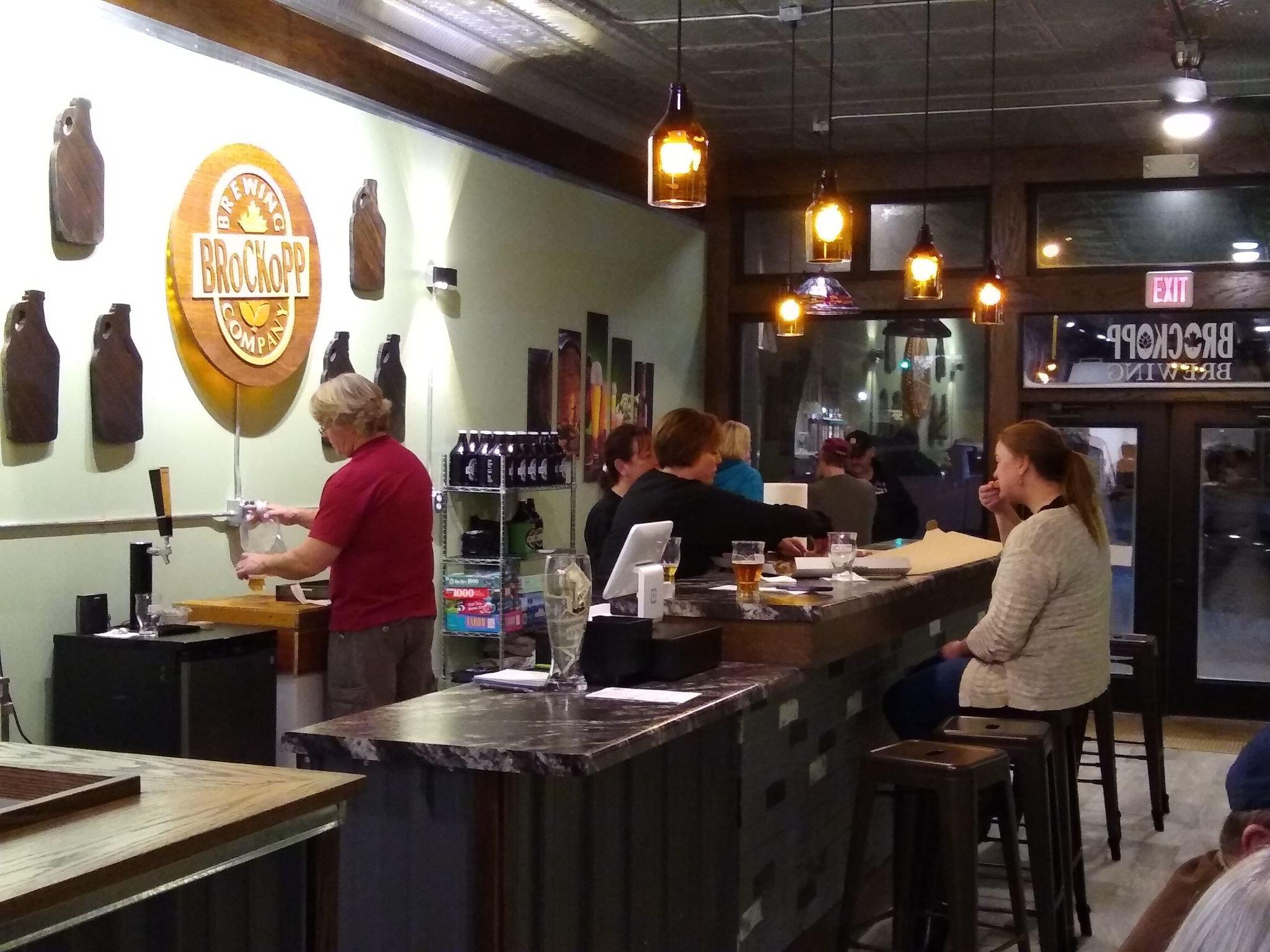
Dine and drink
Eat and drink your way through town.
Can't-miss activities
Culture, natural beauty, and plain old fun.
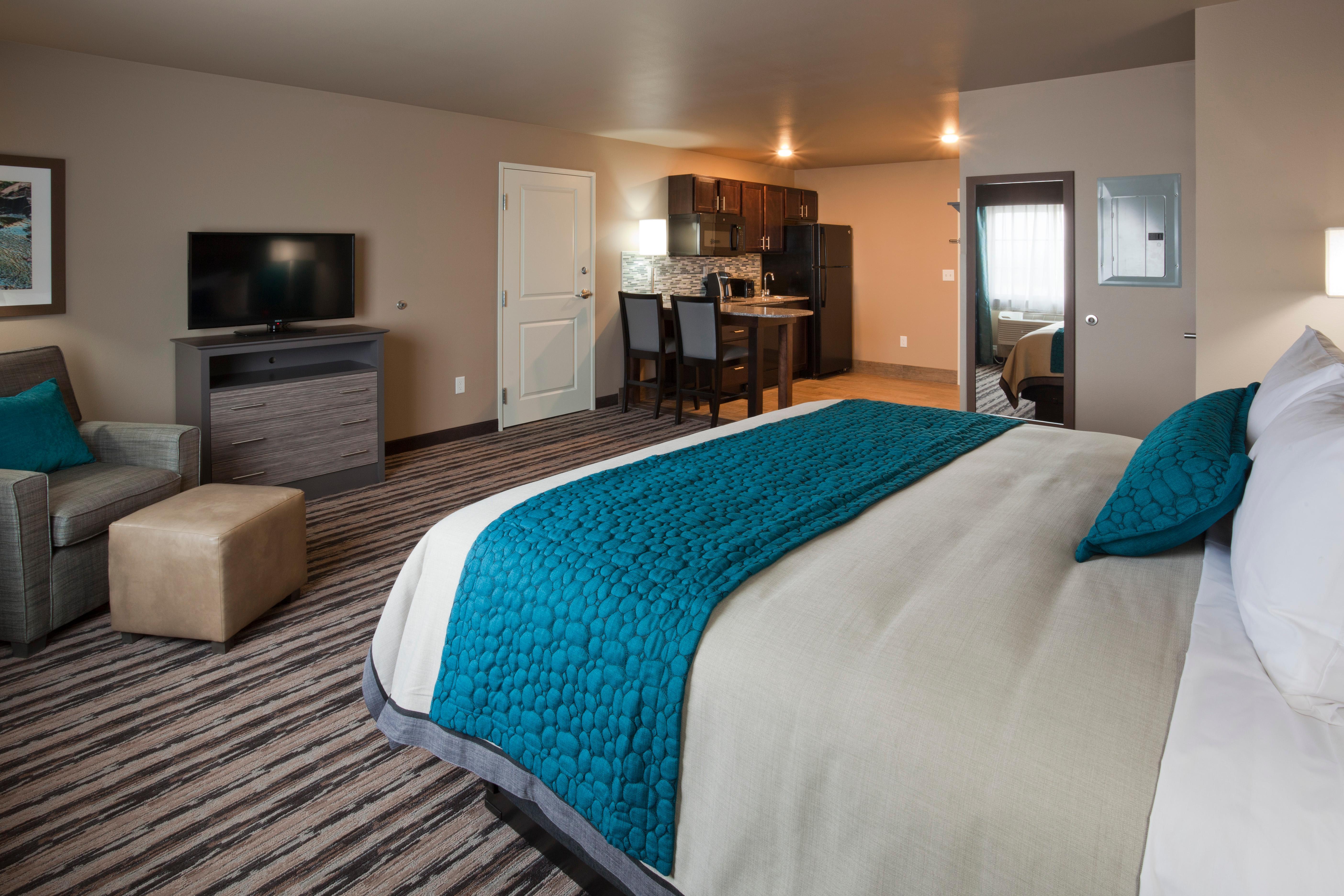
Places to stay
Hang your (vacation) hat in a place that’s just your style.
Advertisement


