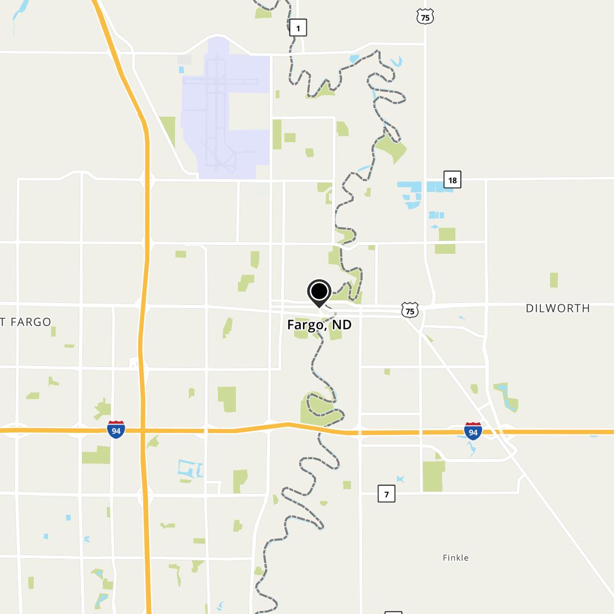
Fargo, ND Map
Fargo is a US city in Cass County in the state of North Dakota. Located at the longitude and latitude of -96.789444, 46.877222 and situated at an elevation of 274 meters. In the 2020 United States Census, Fargo, ND had a population of 125,990 people. Fargo is in the Central Standard Time timezone at Coordinated Universal Time (UTC) -6. Find directions to Fargo, ND, browse local businesses, landmarks, get current traffic estimates, road conditions, and more.
Fargo, located in the state of North Dakota, is often recognized as a cultural and economic hub of the region. Known for its vibrant arts scene, Fargo is home to the Plains Art Museum, which offers a diverse collection of contemporary and Native American art. The city is also famed for its historic downtown, marked by the iconic Fargo Theatre, a beautifully restored 1920s art deco cinema that hosts both current films and live performances. Fargo's history dates back to its founding in 1871, and it has grown from a frontier town into a bustling city, partly due to its strategic location as a transportation and agricultural center.
Visitors to Fargo can explore the Red River Zoo, which features cold-climate species, or take a stroll through the scenic Lindenwood Park. The city is also celebrated for its connection to the classic Coen Brothers film "Fargo," which, despite being largely set elsewhere, has brought a quirky fame to the city. Fargo's rich history is also preserved at the Bonanzaville USA, a pioneer village museum that offers an immersive experience into the region's past. With a combination of cultural attractions, historical sites, and a lively community spirit, Fargo provides a unique glimpse into the heart of North Dakota.
Nearby cities include: Moorhead, MN, Dilworth, MN, Moorhead, MN, Fargo, ND, Prairie Rose, ND, Reile's Acres, ND, North River, ND, West Fargo, ND, Frontier, ND, Reed, ND.
Map of Fargo, ND
