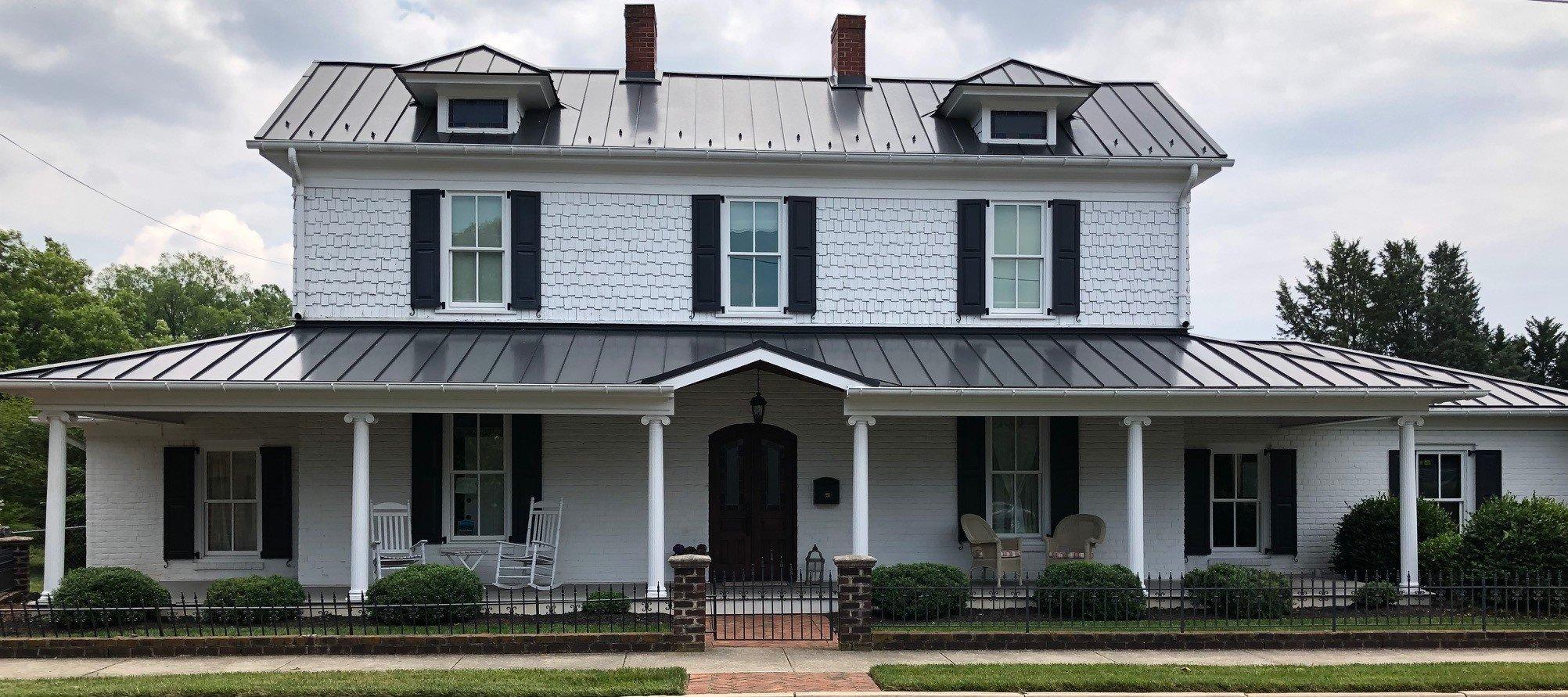
Walkertown, NC
Advertisement
Walkertown, NC Map
Walkertown is a US city in Forsyth County in the state of North Carolina. Located at the longitude and latitude of -80.153100, 36.175410 and situated at an elevation of 306 meters. In the 2020 United States Census, Walkertown, NC had a population of 5,692 people. Walkertown is in the Eastern Standard Time timezone at Coordinated Universal Time (UTC) -5. Find directions to Walkertown, NC, browse local businesses, landmarks, get current traffic estimates, road conditions, and more.
Walkertown, located in North Carolina, is a quaint town that exudes a charming small-town atmosphere. Known for its community-oriented spirit, it offers a peaceful retreat with its lush parks and historic sites. One of the town's notable attractions is Walkertown Community Park, a local favorite that provides a serene environment for outdoor activities and community events. The park is equipped with walking trails, playgrounds, and picnic areas, making it an ideal spot for families and nature enthusiasts.
Historically, Walkertown has roots that stretch back to the 18th century, and visitors can explore this rich history through its preserved architecture and local heritage sites. The town is also home to several annual events that celebrate its culture and community, fostering a strong sense of togetherness among residents and visitors alike. While Walkertown may not boast bustling city life, its tranquil setting and welcoming community make it a delightful destination for those seeking a more relaxed pace.
Nearby cities include: Middle Fork II, NC, Middle Fork I, NC, Kernersville, NC, Germanton, NC, Winston-Salem, NC, Walnut Cove, NC, Rural Hall, NC, Oak Ridge, NC, Bethania, NC, Stokesdale, NC.
Places in Walkertown
Dine and drink
Eat and drink your way through town.
Can't-miss activities
Culture, natural beauty, and plain old fun.
Places to stay
Hang your (vacation) hat in a place that’s just your style.
Advertisement


