Shallotte, NC
Advertisement
Shallotte, NC Map
Shallotte is a US city in Brunswick County in the state of North Carolina. Located at the longitude and latitude of -78.385840, 33.973230 and situated at an elevation of 1,899 meters. In the 2020 United States Census, Shallotte, NC had a population of 4,185 people. Shallotte is in the Eastern Standard Time timezone at Coordinated Universal Time (UTC) -5. Find directions to Shallotte, NC, browse local businesses, landmarks, get current traffic estimates, road conditions, and more.
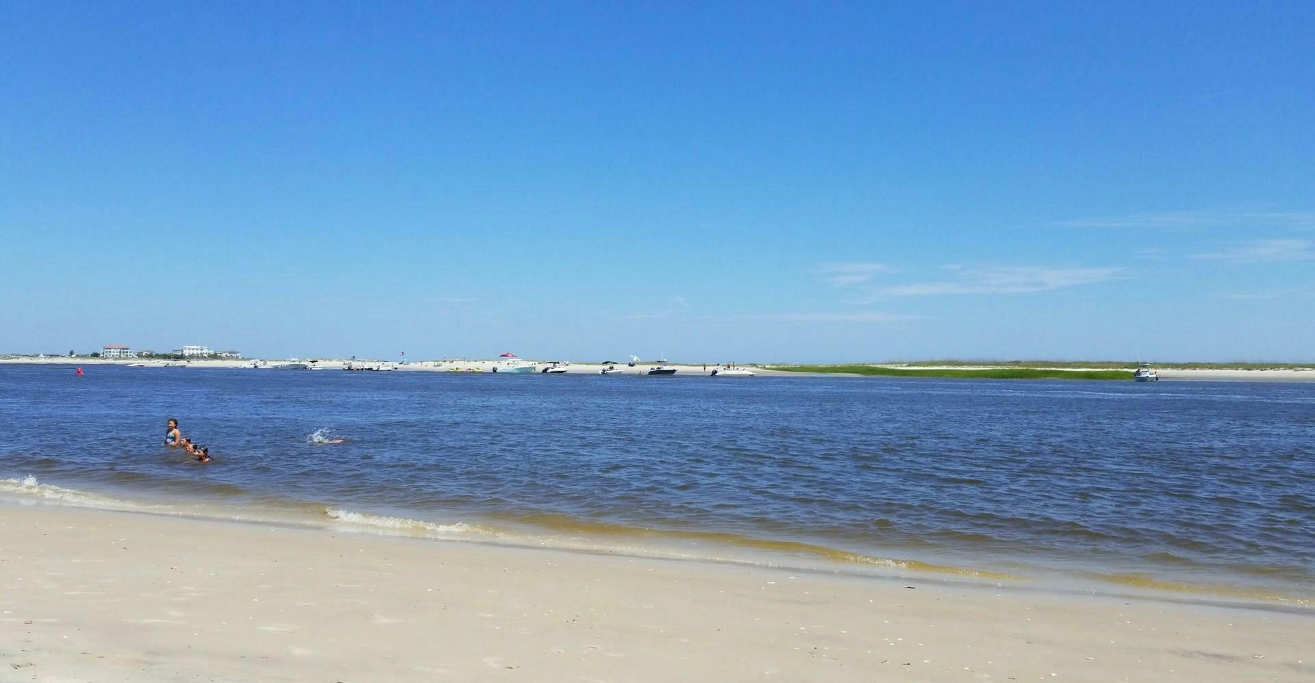
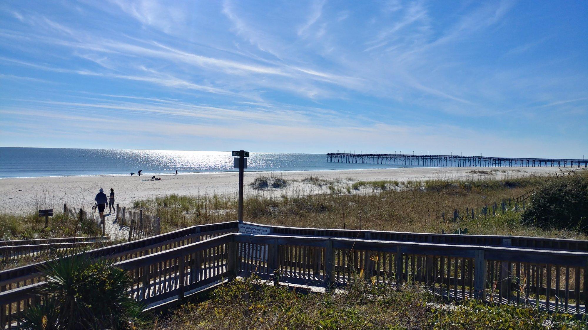
Shallotte, located in the southeastern part of North Carolina, is a charming town that offers a blend of natural beauty and small-town allure. Known for its proximity to several stunning beaches, Shallotte serves as a convenient gateway for those looking to explore the coastal attractions of the region. The town itself is characterized by a relaxed atmosphere and a strong sense of community, making it a pleasant stop for visitors seeking a more laid-back experience. Shallotte River Swamp Park is a popular attraction, offering zip-lining and eco-tours that allow visitors to immerse themselves in the area's lush landscapes and unique wildlife.
Historically, Shallotte has roots that trace back to the 18th century, when it emerged as a trading post along the Shallotte River. This historical connection to the river is still evident today, as the waterway continues to play a significant role in the town's identity and recreational activities. For those interested in shopping and dining, the town offers a variety of local businesses and eateries that capture the essence of Southern hospitality. Shallotte is also known for its seasonal events and festivals, which draw both locals and tourists and add to the town's vibrant community spirit.
Nearby cities include: Ocean Isle Beach, NC, Holden Beach, NC, Varnamtown, NC, Sunset Beach, NC, Calabash, NC, Carolina Shores, NC, Oak Island, NC, Bolivia, NC, Little River, SC, St. James, NC.
Places in Shallotte
Dine and drink
Eat and drink your way through town.
Can't-miss activities
Culture, natural beauty, and plain old fun.
Places to stay
Hang your (vacation) hat in a place that’s just your style.
Advertisement


