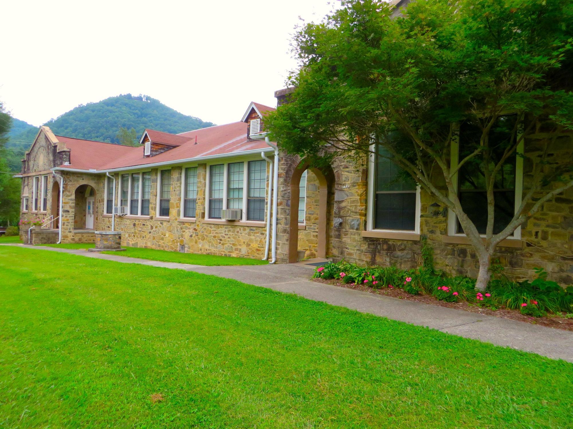
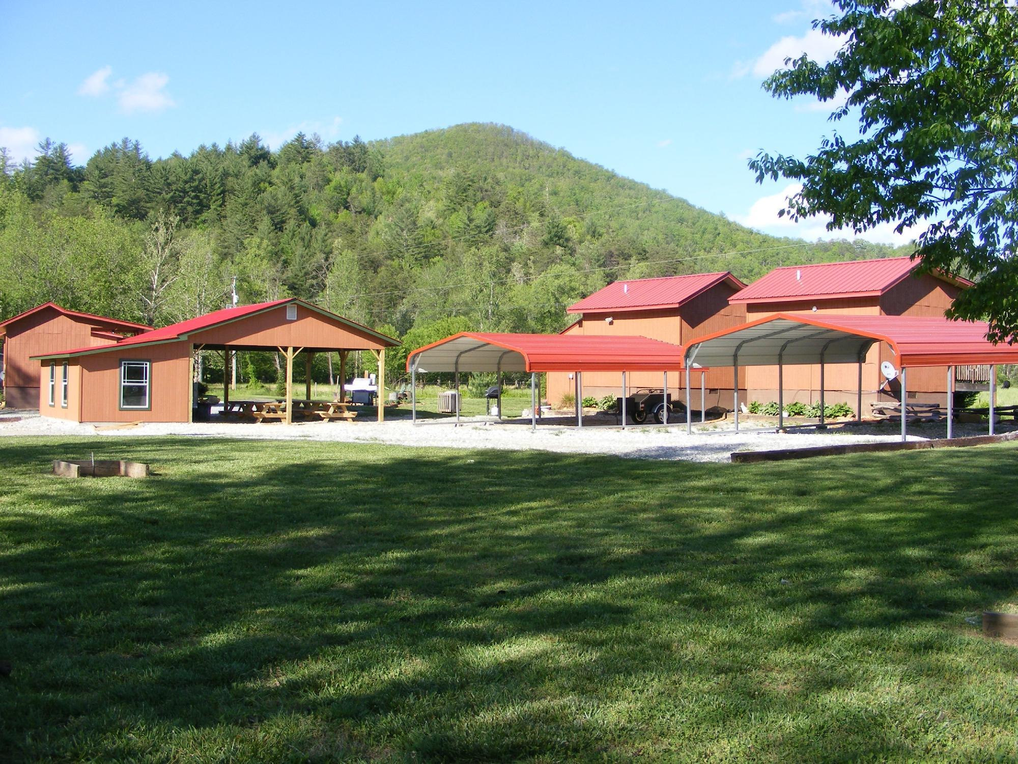
Robbinsville, NC
Advertisement
Robbinsville, NC Map
Robbinsville is a US city in Graham County in the state of North Carolina. Located at the longitude and latitude of -83.807778, 35.322778 and situated at an elevation of 623 meters. In the 2020 United States Census, Robbinsville, NC had a population of 597 people. Robbinsville is in the Eastern Standard Time timezone at Coordinated Universal Time (UTC) -5. Find directions to Robbinsville, NC, browse local businesses, landmarks, get current traffic estimates, road conditions, and more.
Robbinsville, nestled in the scenic embrace of the western North Carolina mountains, is renowned for its proximity to some of the most picturesque and adventurous landscapes in the region. It serves as a gateway to the Great Smoky Mountains and is particularly famous among motorcyclists and sports car enthusiasts for the Tail of the Dragon, an 11-mile stretch of road with 318 curves that offers one of the most exhilarating driving experiences in the United States. The town itself exudes a quaint charm and serves as a perfect base for exploring the natural beauty of the surrounding areas.
History enthusiasts might appreciate a visit to the nearby Joyce Kilmer Memorial Forest, a rare example of old-growth forest in the Appalachian region, named in honor of the poet Joyce Kilmer. This untouched natural sanctuary provides a glimpse into the ecosystems that predate European settlement. Additionally, Robbinsville is culturally significant for its connection to the Eastern Band of Cherokee Indians, offering visitors a chance to engage with the rich heritage and traditions of the Cherokee people. With its blend of natural beauty and cultural depth, Robbinsville offers a unique and serene retreat for travelers seeking both adventure and tranquility.
Nearby cities include: Lake Santeetlah, NC, Andrews, NC, Marble, NC, Hayesville, NC, Murphy, NC, Bryson City, NC, Townsend, TN, Franklin, NC, Hiawassee, GA, Whittier, NC.
Places in Robbinsville
Dine and drink
Eat and drink your way through town.
Can't-miss activities
Culture, natural beauty, and plain old fun.
Places to stay
Hang your (vacation) hat in a place that’s just your style.
Advertisement


