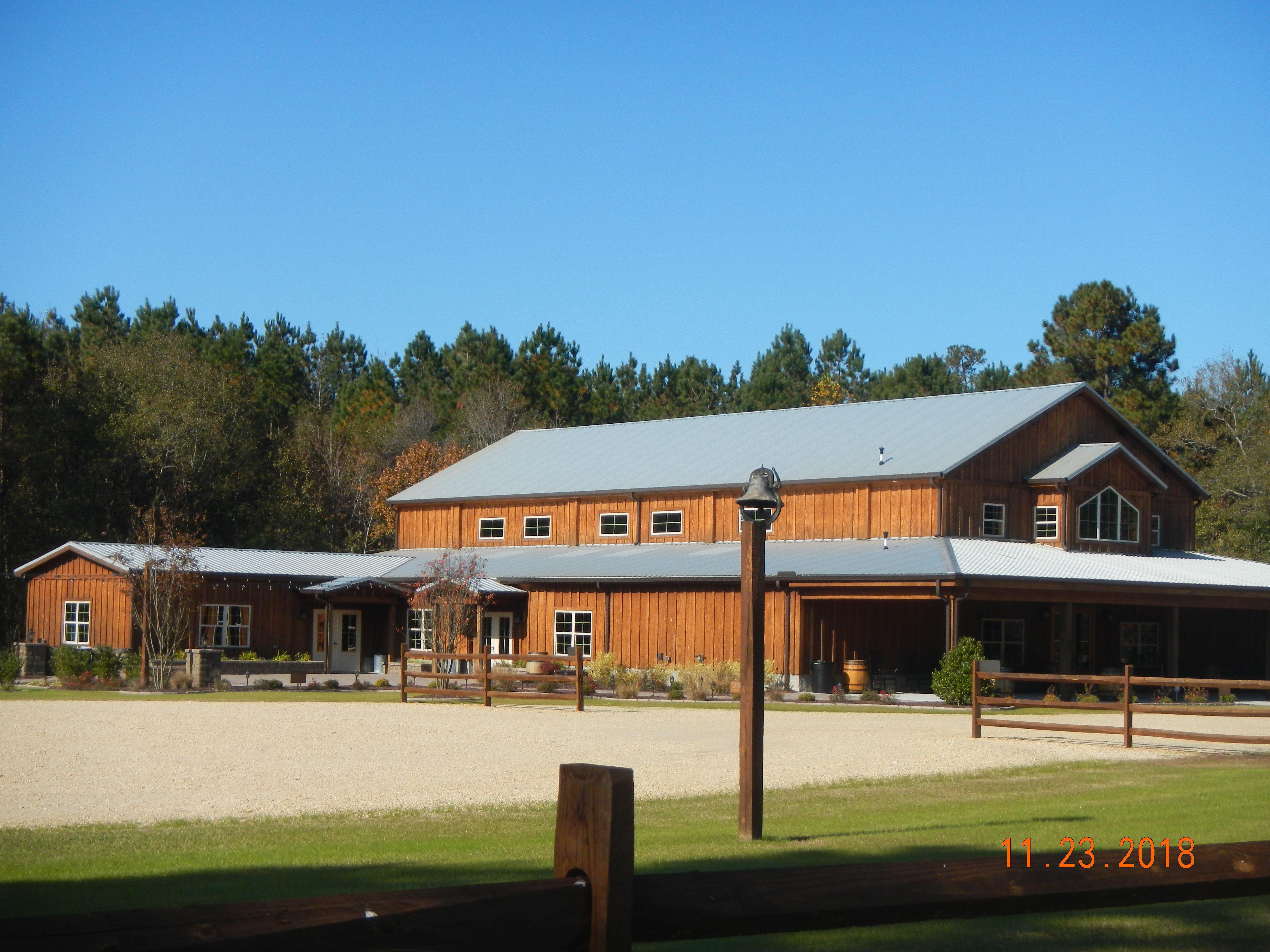
Newton Grove, NC
Advertisement
Newton Grove, NC Map
Newton Grove is a US city in Sampson County in the state of North Carolina. Located at the longitude and latitude of -78.356944, 35.246667 and situated at an elevation of 55 meters. In the 2020 United States Census, Newton Grove, NC had a population of 585 people. Newton Grove is in the Eastern Standard Time timezone at Coordinated Universal Time (UTC) -5. Find directions to Newton Grove, NC, browse local businesses, landmarks, get current traffic estimates, road conditions, and more.
Newton Grove, located in North Carolina, is a small town known for its quaint charm and historical significance. It is particularly recognized for its unique traffic circle, which is one of the few remaining traffic circles in the state and serves as a central hub for the town. This circle has historical roots dating back to when it was constructed to improve traffic flow and has since become a notable landmark in the area. The town exudes a welcoming rural atmosphere, making it a peaceful retreat for those looking to experience a slice of North Carolina's countryside.
A popular spot within Newton Grove is the Our Lady of Guadalupe Catholic Church, which is notable for its cultural significance and community events. The town also hosts an annual Fourth of July celebration that draws visitors from surrounding areas, featuring a parade and fireworks that highlight the community spirit. While Newton Grove may not be a bustling metropolis, its historical elements and friendly community make it a noteworthy stop for those exploring the region.
Nearby cities include: Spivey's Corner, NC, Benson, NC, Four Oaks, NC, Dunn, NC, Faison, NC, Calypso, NC, Mount Olive, NC, Falcon, NC, Clinton, NC, Salemburg, NC.
Places in Newton Grove
Dine and drink
Eat and drink your way through town.
Can't-miss activities
Culture, natural beauty, and plain old fun.
Places to stay
Hang your (vacation) hat in a place that’s just your style.
Advertisement


