Kitty Hawk, NC
Advertisement
Kitty Hawk, NC Map
Kitty Hawk is a US city in Dare County in the state of North Carolina. Located at the longitude and latitude of -75.704722, 36.076944 and situated at an elevation of 2 meters. In the 2020 United States Census, Kitty Hawk, NC had a population of 3,689 people. Kitty Hawk is in the Eastern Standard Time timezone at Coordinated Universal Time (UTC) -5. Find directions to Kitty Hawk, NC, browse local businesses, landmarks, get current traffic estimates, road conditions, and more.
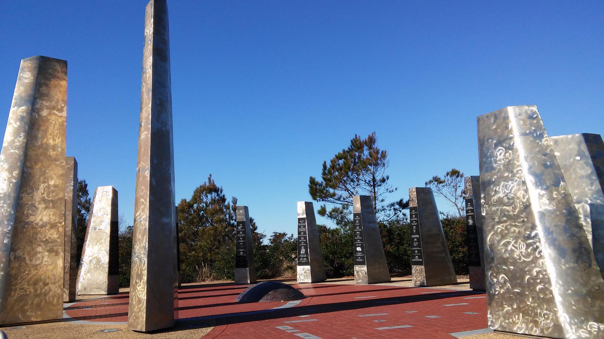
Kitty Hawk, located in North Carolina, is famously known as the site where the Wright brothers made their first successful powered flight in 1903, a pivotal moment in aviation history. This historical event is commemorated at the Wright Brothers National Memorial, a must-visit attraction for anyone interested in the origins of flight. The memorial features a visitor center with exhibits detailing the brothers' experiments and achievements, as well as a large granite monument atop Kill Devil Hill, offering panoramic views of the area.
Beyond its aviation heritage, Kitty Hawk offers a range of activities and attractions that cater to beachgoers and nature enthusiasts. The town is part of the Outer Banks, a string of barrier islands known for their pristine beaches and outdoor recreation opportunities. Visitors can enjoy water sports such as kiteboarding and kayaking, or explore the nearby Kitty Hawk Woods Coastal Reserve, which is home to diverse wildlife and scenic hiking trails. With its blend of historical significance and natural beauty, Kitty Hawk provides a unique and enriching travel experience.
Nearby cities include: Southern Shores, NC, Kill Devil Hills, NC, Duck, NC, Nags Head, NC, Manteo, NC, Manns Harbor, NC, Grandy, NC, Wanchese, NC, Coinjock, NC, Currituck, NC.
Places in Kitty Hawk
Dine and drink
Eat and drink your way through town.
Can't-miss activities
Culture, natural beauty, and plain old fun.
Places to stay
Hang your (vacation) hat in a place that’s just your style.
Advertisement


