Hayesville, NC
Advertisement
Hayesville, NC Map
Hayesville is a US city in Clay County in the state of North Carolina. Located at the longitude and latitude of -83.817800, 35.046700 and situated at an elevation of 577 meters. In the 2020 United States Census, Hayesville, NC had a population of 461 people. Hayesville is in the Eastern Standard Time timezone at Coordinated Universal Time (UTC) -5. Find directions to Hayesville, NC, browse local businesses, landmarks, get current traffic estimates, road conditions, and more.
Hayesville, located in the heart of North Carolina, is a quaint town known for its rich history and scenic beauty. Established in the mid-19th century, Hayesville offers a charming glimpse into the past with its well-preserved historical sites and buildings. Visitors are often drawn to the Old Jail Museum, which provides an intriguing look into the town’s history and law enforcement heritage. The town is also recognized for its vibrant community events and festivals that celebrate the local culture and traditions.
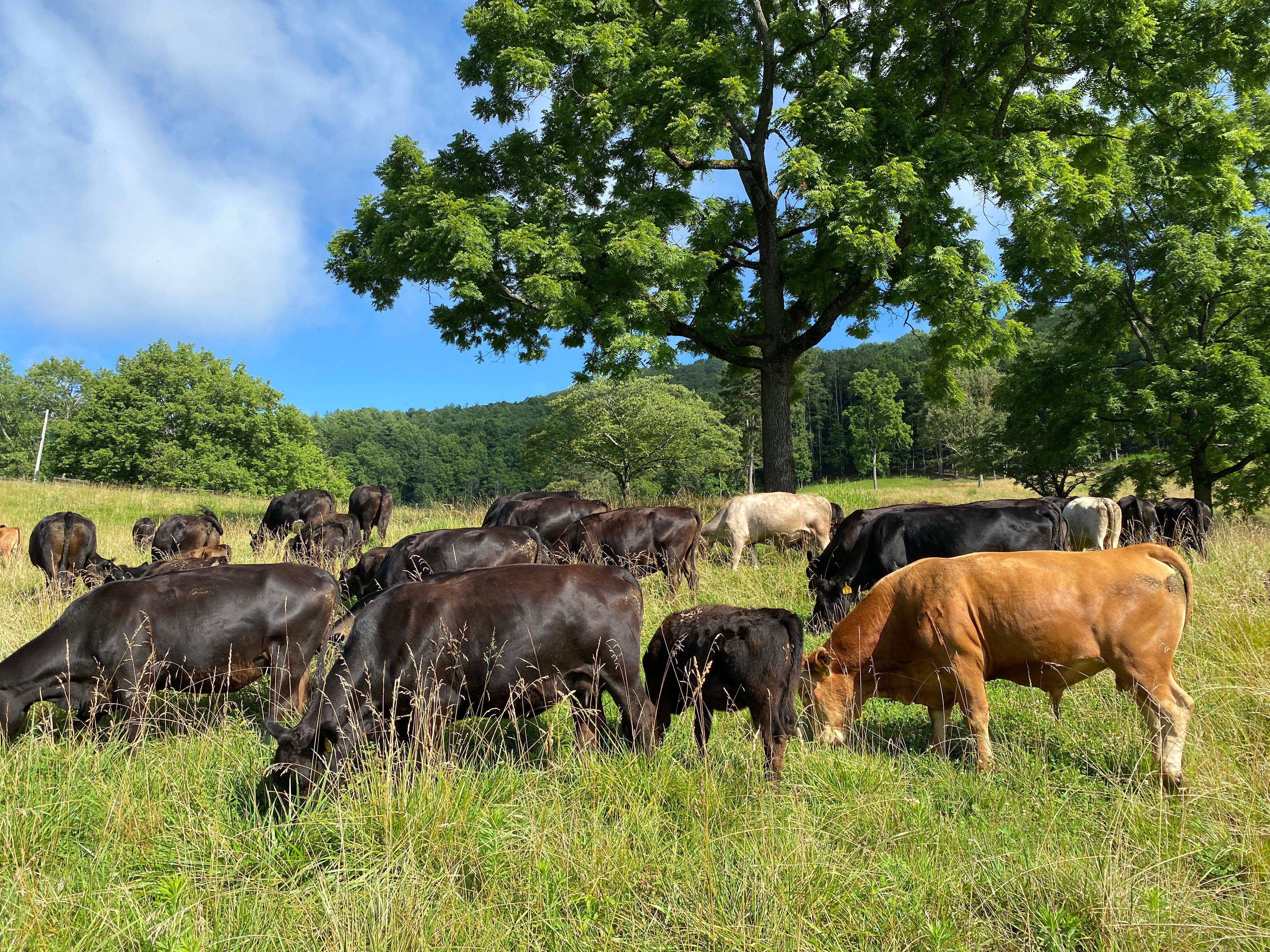
In addition to its historical allure, Hayesville is surrounded by natural beauty, making it a popular destination for outdoor enthusiasts. The nearby Lake Chatuge offers opportunities for boating, fishing, and picnicking, while the surrounding mountains provide excellent hiking trails with breathtaking views. Hayesville’s downtown area is lined with unique shops, local eateries, and art galleries, making it a delightful spot for leisurely exploration. Whether you're interested in history, nature, or simply soaking in the small-town charm, Hayesville offers a welcoming escape with a touch of nostalgia.
Nearby cities include: Hiawassee, GA, Young Harris, GA, Andrews, NC, Marble, NC, Murphy, NC, Blairsville, GA, Tate City, GA, Robbinsville, NC, Lake Santeetlah, NC, Helen, GA.
Places in Hayesville
Dine and drink
Eat and drink your way through town.
Can't-miss activities
Culture, natural beauty, and plain old fun.
Places to stay
Hang your (vacation) hat in a place that’s just your style.
Advertisement


