Silver Gate, MT
Advertisement
Cooke City-Silver Gate, MT Map
Cooke City-Silver Gate is a US city in Park County in the state of Montana. Located at the longitude and latitude of -109.938611, 45.017500 and situated at an elevation of 2,318 meters. In the 2020 United States Census, Cooke City-Silver Gate, MT had a population of 140 people. Cooke City-Silver Gate is in the Mountain Standard Time timezone at Coordinated Universal Time (UTC) -7. Find directions to Cooke City-Silver Gate, MT, browse local businesses, landmarks, get current traffic estimates, road conditions, and more.
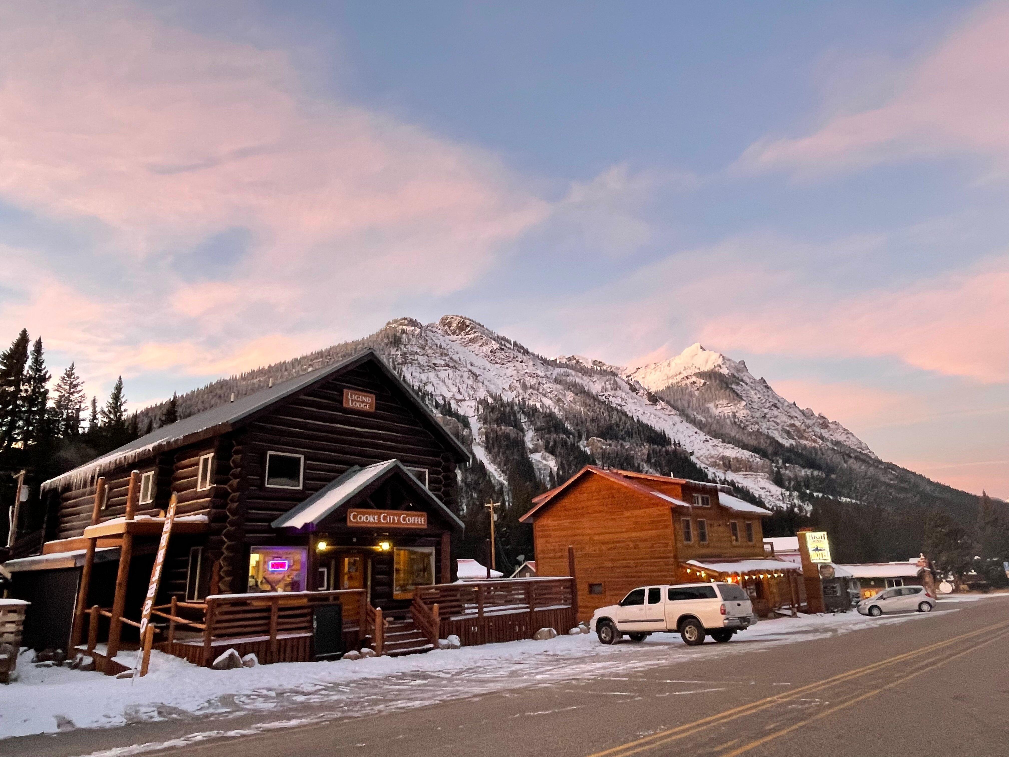
Cooke City-Silver Gate, located in the picturesque state of Montana, is renowned for its proximity to the northeast entrance of Yellowstone National Park, making it a popular gateway for adventurers and nature enthusiasts. This quaint area is surrounded by the majestic Absaroka-Beartooth Wilderness, offering stunning vistas and a plethora of outdoor activities like hiking, fishing, and wildlife watching. The town itself has a rich history dating back to the late 1800s when it was established as a mining camp, and remnants of this heritage can still be seen in the historic buildings and artifacts scattered throughout the town.
Visitors to Cooke City-Silver Gate often explore the Cooke City Montana Museum, which provides fascinating insights into the area's mining past and local history. The Beartooth Highway, a scenic byway that snakes through some of the most beautiful alpine landscapes in the country, is another must-visit attraction. Additionally, the charming local shops and eateries offer a taste of the region's culture and hospitality. Whether you're passing through on your way to Yellowstone or staying to soak in the tranquil mountain atmosphere, Cooke City-Silver Gate offers a unique blend of natural beauty and historical intrigue.
Nearby cities include: Cooke City, MT, Silver Gate, MT, Nye, MT, Roscoe, MT, Red Lodge, MT, Fishtail, MT, Gardiner, MT, Bearcreek, MT, Absarokee, MT, Pray, MT.
Places in Silver Gate
Dine and drink
Eat and drink your way through town.
Can't-miss activities
Culture, natural beauty, and plain old fun.
Places to stay
Hang your (vacation) hat in a place that’s just your style.
Advertisement


