New Houlka, MS
Advertisement
New Houlka, MS Map
New Houlka is a US city in Chickasaw County in the state of Mississippi. Located at the longitude and latitude of -89.020000, 34.036400 and situated at an elevation of 113 meters. In the 2020 United States Census, New Houlka, MS had a population of 698 people. New Houlka is in the Central Standard Time timezone at Coordinated Universal Time (UTC) -6. Find directions to New Houlka, MS, browse local businesses, landmarks, get current traffic estimates, road conditions, and more.
New Houlka, nestled in the heart of Mississippi, is a small town with a rich tapestry of history and Southern charm. Known for its historical significance, New Houlka was established in the 19th century and carries a legacy intertwined with the expansion of the railroad, serving as a crucial junction in its early days. The town offers a glimpse into the past with its collection of historic buildings and homes that reflect the architectural styles of the period. Visitors often explore these sites to get a sense of the town’s development over the years.
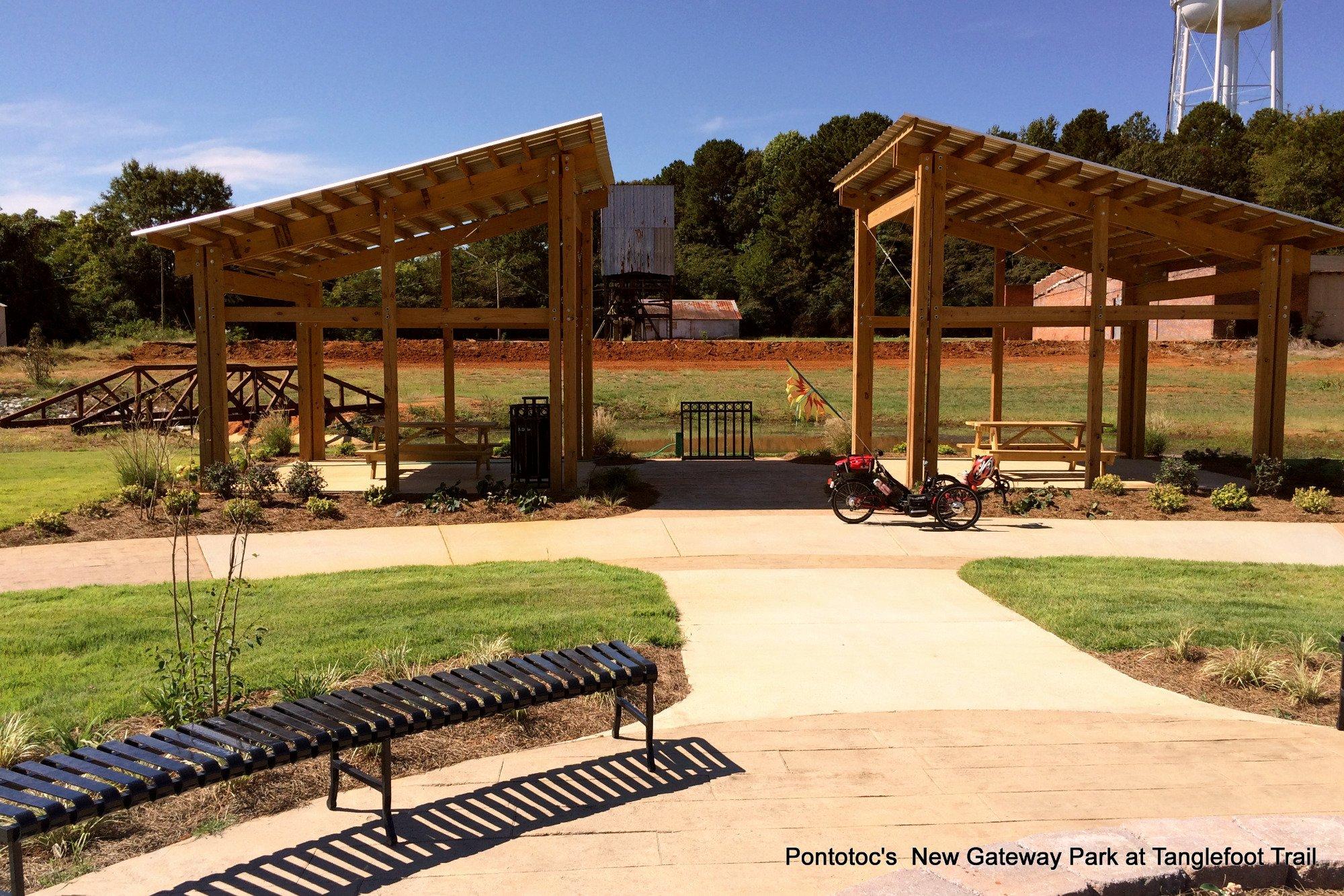
A popular spot within New Houlka is the scenic Tanglefoot Trail, a 44-mile-long trail that attracts outdoor enthusiasts for biking, walking, and birdwatching. This trail, which follows the path of the former railroad, allows visitors to immerse themselves in the natural beauty of the region. Additionally, the town plays host to several local events and festivals throughout the year, celebrating its community spirit and cultural heritage. Whether you're a history buff or an outdoor lover, New Houlka offers a quaint yet captivating experience in Mississippi.
Nearby cities include: Van Vleet, MS, Houston, MS, Algoma, MS, Vardaman, MS, Pontotoc, MS, Okolona, MS, Woodland, MS, Bruce, MS, Shannon, MS, Pittsboro, MS.
Places in New Houlka
Places to stay
Hang your (vacation) hat in a place that’s just your style.
Advertisement


