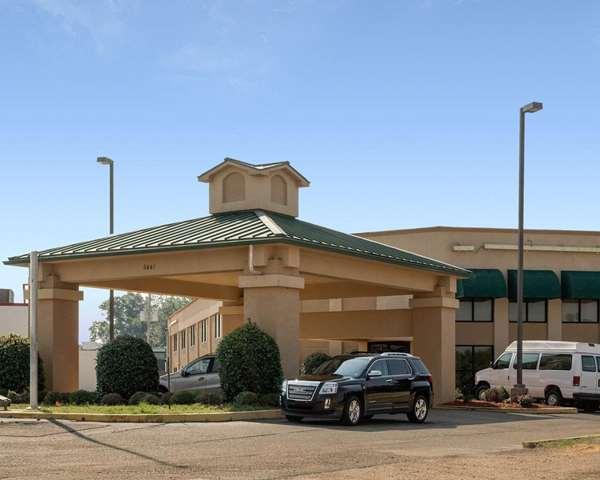
Mendenhall, MS
Advertisement
Mendenhall, MS Map
Mendenhall is a US city in Simpson County in the state of Mississippi. Located at the longitude and latitude of -89.867500, 31.961110 and situated at an elevation of 102 meters. In the 2020 United States Census, Mendenhall, MS had a population of 2,199 people. Mendenhall is in the Central Standard Time timezone at Coordinated Universal Time (UTC) -6. Find directions to Mendenhall, MS, browse local businesses, landmarks, get current traffic estimates, road conditions, and more.
Mendenhall, nestled in central Mississippi, is a city that exudes small-town charm while being steeped in Southern history. Known for its rich agricultural roots, Mendenhall offers a glimpse into traditional Southern life. A prominent feature of the city is its historic courthouse, a magnificent structure that stands as a testament to the area's architectural heritage. Visitors often explore the Mendenhall Main Street District, which is peppered with quaint shops and local eateries that reflect the city's community spirit and hospitality.
The city is also home to several annual events that draw both locals and visitors, celebrating its vibrant culture and history. The Mendenhall City Park is a popular spot for outdoor enthusiasts, offering a serene environment for picnics and leisurely strolls. For those interested in the history of the region, the city provides access to various historical landmarks and museums that tell the story of its development over the years. While it may not be a bustling metropolis, Mendenhall's welcoming atmosphere and historical significance make it a charming stop for anyone exploring Mississippi.
Nearby cities include: D'Lo, MS, Braxton, MS, Puckett, MS, Magee, MS, New Hebron, MS, Georgetown, MS, Mount Olive, MS, Polkville, MS, Mize, MS, Florence, MS.
Places in Mendenhall
Dine and drink
Eat and drink your way through town.
Can't-miss activities
Culture, natural beauty, and plain old fun.
Places to stay
Hang your (vacation) hat in a place that’s just your style.
Advertisement


