Kila, MT
Advertisement
Kila, MT Map
Kila is a US city in Flathead County in the state of Montana. Located at the longitude and latitude of -114.477000, 48.121400 and situated at an elevation of 3,192 meters. In the 2020 United States Census, Kila, MT had a population of 424 people. Kila is in the Mountain Standard Time timezone at Coordinated Universal Time (UTC) -7. Find directions to Kila, MT, browse local businesses, landmarks, get current traffic estimates, road conditions, and more.
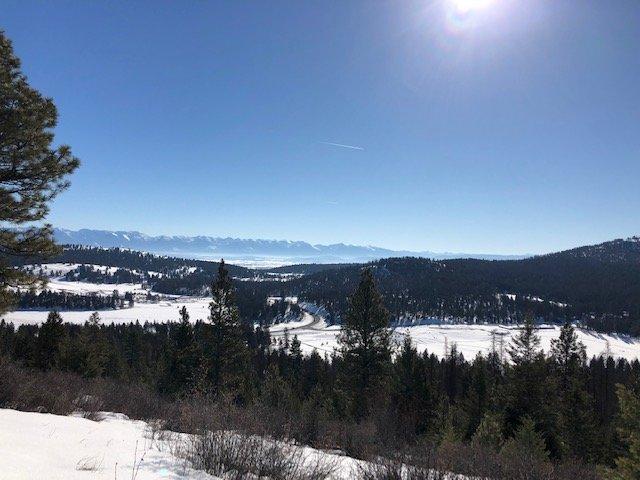
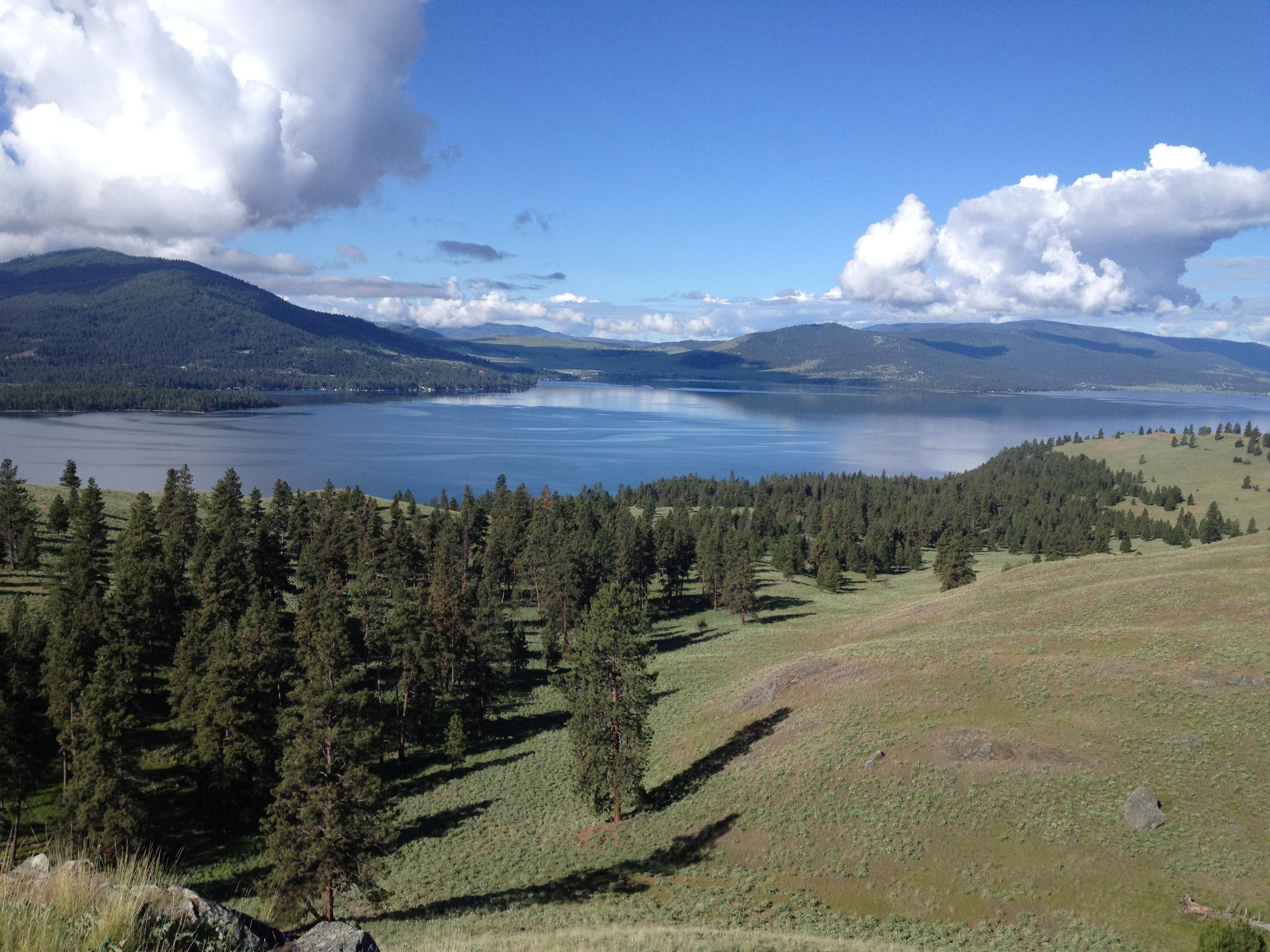
Kila, located in the picturesque state of Montana, is a small yet charming community known for its tranquil rural landscape and outdoor recreational opportunities. Nestled in the heart of the Rocky Mountains, Kila offers a serene escape for nature enthusiasts and those seeking a peaceful retreat from bustling city life. The area is particularly celebrated for its access to hiking and fishing, with numerous trails and waterways providing ample opportunities for exploration and relaxation. Among the notable attractions is the proximity to the expansive Flathead National Forest, where visitors can immerse themselves in the breathtaking natural beauty of Montana.
Historically, Kila has roots that trace back to the early 20th century, when it served as a stop for the Great Northern Railway. This connection to the railway played a significant role in its development and the settlement of the surrounding areas. While Kila itself is modest in size, it is the gateway to a wealth of outdoor adventures and a testament to Montana's rich heritage and stunning landscapes. Visitors often appreciate the quiet, community-oriented atmosphere that Kila offers, making it a hidden gem for those looking to experience the authentic charm of rural Montana.
Nearby cities include: Batavia, MT, Marion, MT, Kalispell, MT, Somers, MT, Lakeside, MT, Bigfork, MT, Rollins, MT, Dayton, MT, Whitefish, MT, Elmo, MT.
Places in Kila
Dine and drink
Eat and drink your way through town.
Can't-miss activities
Culture, natural beauty, and plain old fun.
Places to stay
Hang your (vacation) hat in a place that’s just your style.
Advertisement


