Webb City, MO
Advertisement
Webb City, MO Map
Webb City is a US city in Jasper County in the state of Missouri. Located at the longitude and latitude of -94.469167, 37.144444 and situated at an elevation of 305 meters. In the 2020 United States Census, Webb City, MO had a population of 13,031 people. Webb City is in the Central Standard Time timezone at Coordinated Universal Time (UTC) -6. Find directions to Webb City, MO, browse local businesses, landmarks, get current traffic estimates, road conditions, and more.
Webb City, located in the southwestern part of Missouri, is a historically rich town known for its mining heritage. Established during the late 19th century, Webb City was once one of the world's leading producers of lead and zinc, which spurred its growth and development. Today, remnants of its mining past can be explored through the Webb City Heritage and Mining Museum, which offers visitors insight into the city's industrious origins. The city embraces its history while maintaining a small-town charm, evident in its well-preserved downtown area featuring historic buildings and local shops.
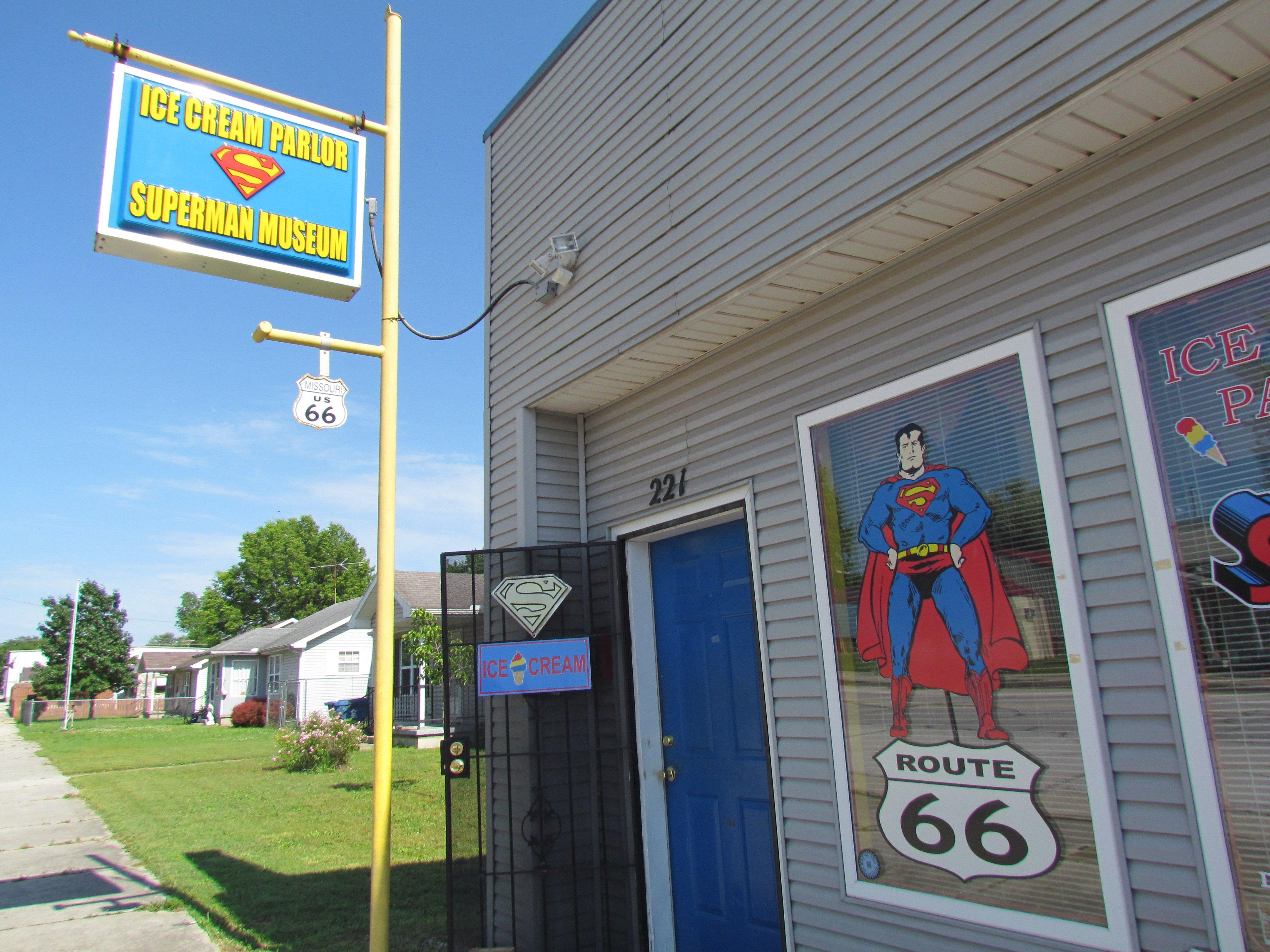
Among the popular places within Webb City is the King Jack Park, a community centerpiece that provides ample recreational opportunities with its walking trails, playgrounds, and the iconic Praying Hands statue, a symbol of the city's faith and community spirit. The park also hosts seasonal events and festivals that attract both residents and visitors alike. Additionally, Webb City's famous Route 66 Drive-In Theater offers a nostalgic experience, allowing guests to enjoy films under the stars, a nod to the classic American road trip culture. Webb City effectively combines its rich history with modern amenities, making it a unique destination in Missouri.
Nearby cities include: Carterville, MO, Airport Drive, MO, Oronogo, MO, Joplin, MO, Duquesne, MO, Brooklyn Heights, MO, Carl Junction, MO, Duenweg, MO, Purcell, MO, Alba, MO.
Places in Webb City
Dine and drink
Eat and drink your way through town.
Can't-miss activities
Culture, natural beauty, and plain old fun.
Places to stay
Hang your (vacation) hat in a place that’s just your style.
Advertisement


