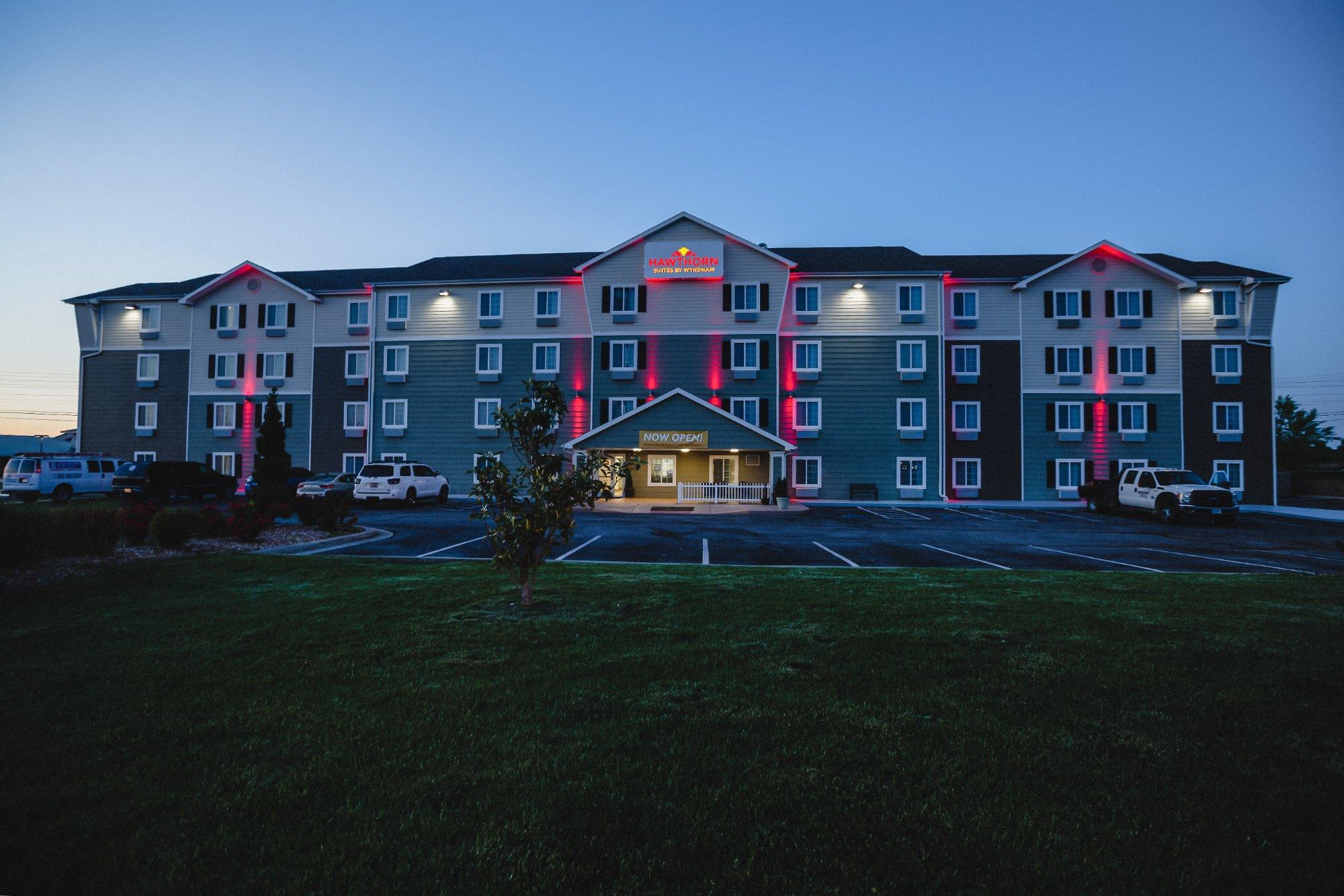
Waynesville, MO
Advertisement
Waynesville, MO Map
Waynesville is a US city in Pulaski County in the state of Missouri. Located at the longitude and latitude of -92.213600, 37.820300 and situated at an elevation of 246 meters. In the 2020 United States Census, Waynesville, MO had a population of 5,406 people. Waynesville is in the Central Standard Time timezone at Coordinated Universal Time (UTC) -6. Find directions to Waynesville, MO, browse local businesses, landmarks, get current traffic estimates, road conditions, and more.
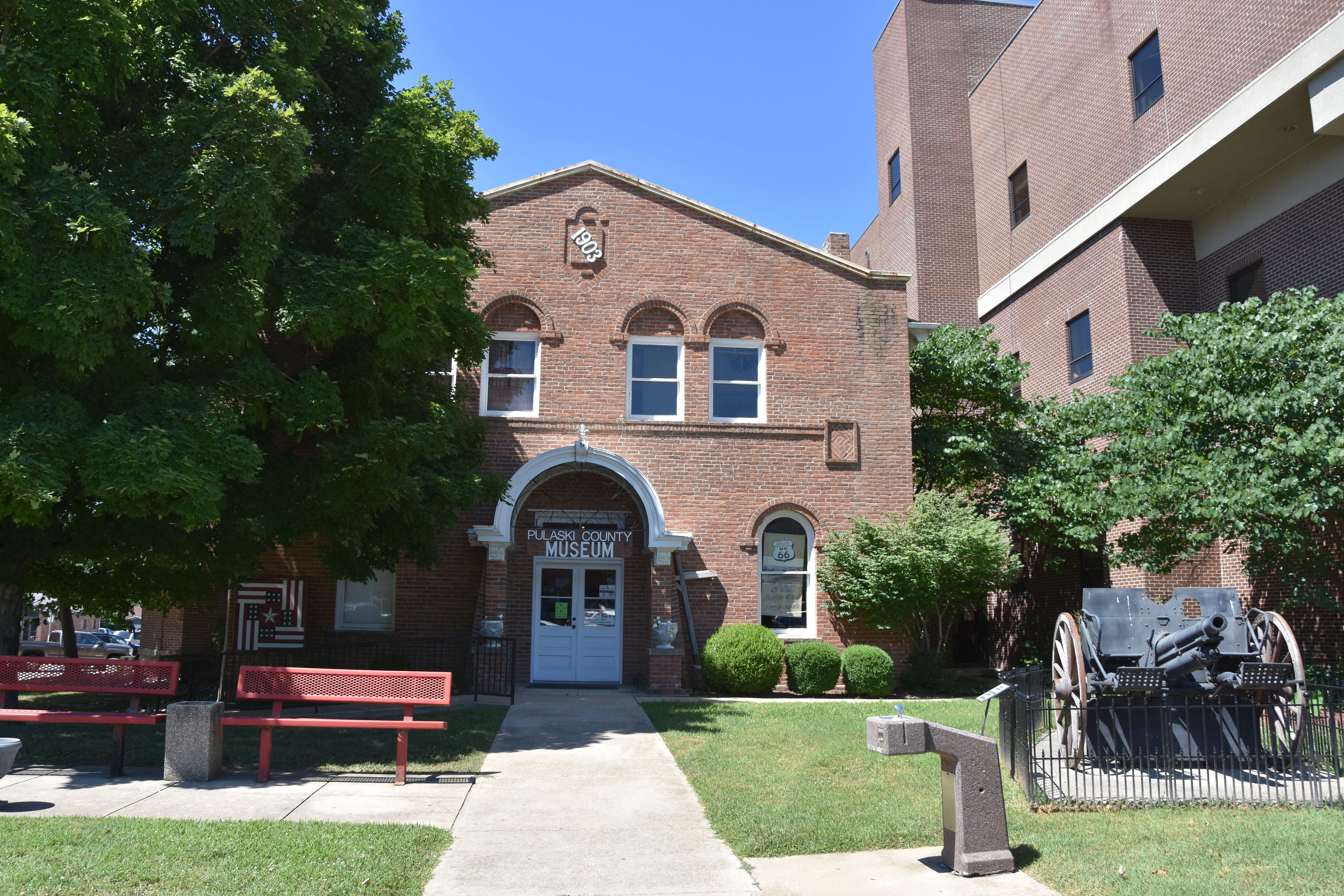
Waynesville, located in Missouri, is a city steeped in history and natural beauty, primarily known for its connection to the famous Route 66. This historic highway, which passes through the city, offers visitors a nostalgic journey through the heart of America. Waynesville's downtown area is home to several landmarks that capture the essence of this iconic route, including the Route 66 Courthouse Museum. This museum is housed in the old Pulaski County Courthouse and offers fascinating exhibits on the area's local history and the impact of Route 66 on the community. Additionally, the city is known for its vibrant outdoor opportunities, with the nearby Roubidoux Spring offering scenic trails and a chance to explore the natural wonders of the region.
The history of Waynesville is deeply intertwined with its role as a stop along the Trail of Tears, where a memorial stands to commemorate this significant and somber part of American history. The city's heritage is further enriched by the Old Stagecoach Stop, a historic building that has served various purposes since the mid-19th century, including a Civil War hospital. Today, it functions as a museum, offering a glimpse into the diverse past of the area. Visitors to Waynesville can enjoy a mix of historical exploration and outdoor adventures, making it a unique destination for those traveling through Missouri.
Nearby cities include: Fort Leonard Wood, MO, Crocker, MO, St. John, MO, Dixon, MO, May/Smith, MO, Stoutland, MO, Newburg, MO, Iberia, MO, Doolittle, MO, Auglaize, MO.
Places in Waynesville
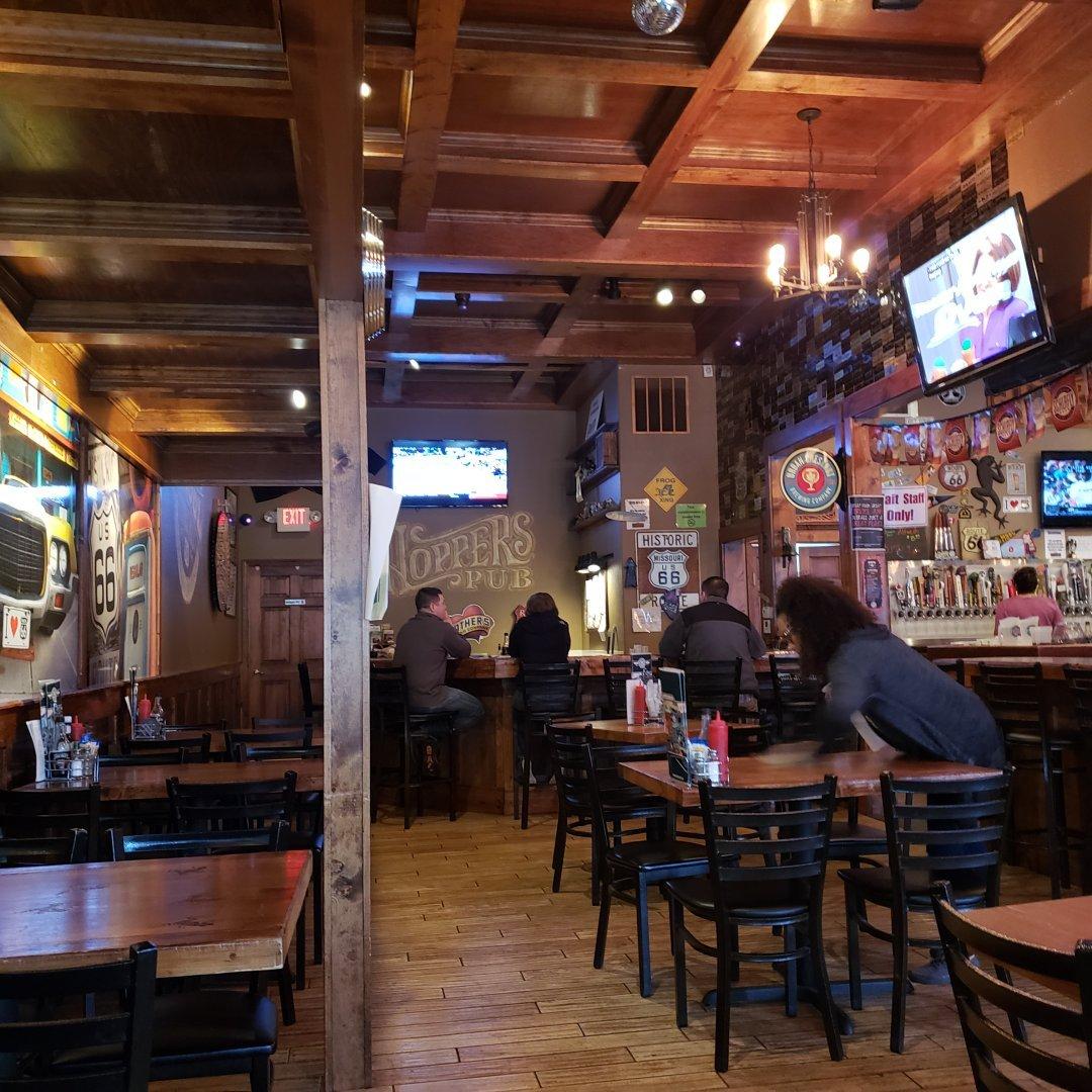
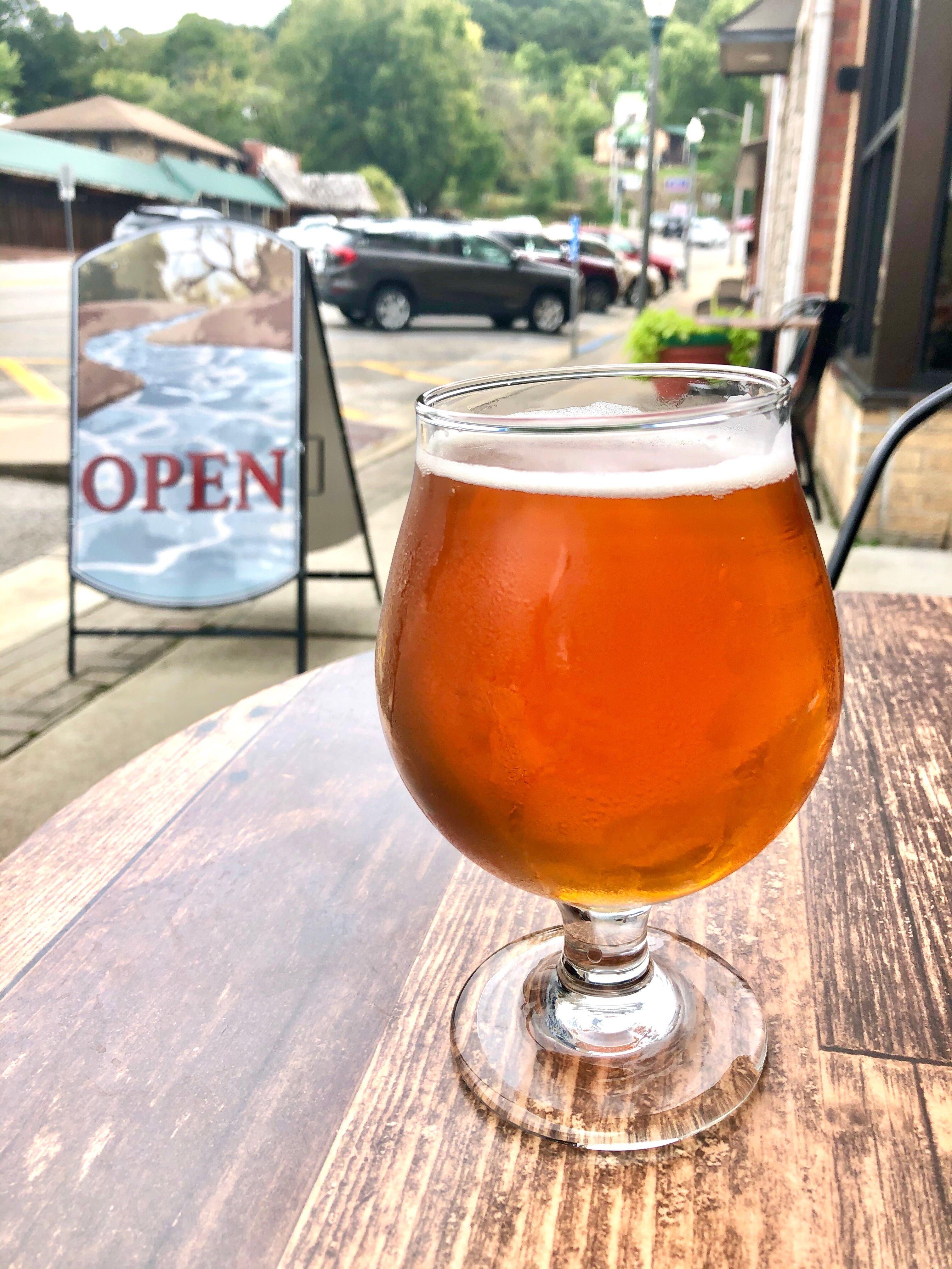
Dine and drink
Eat and drink your way through town.
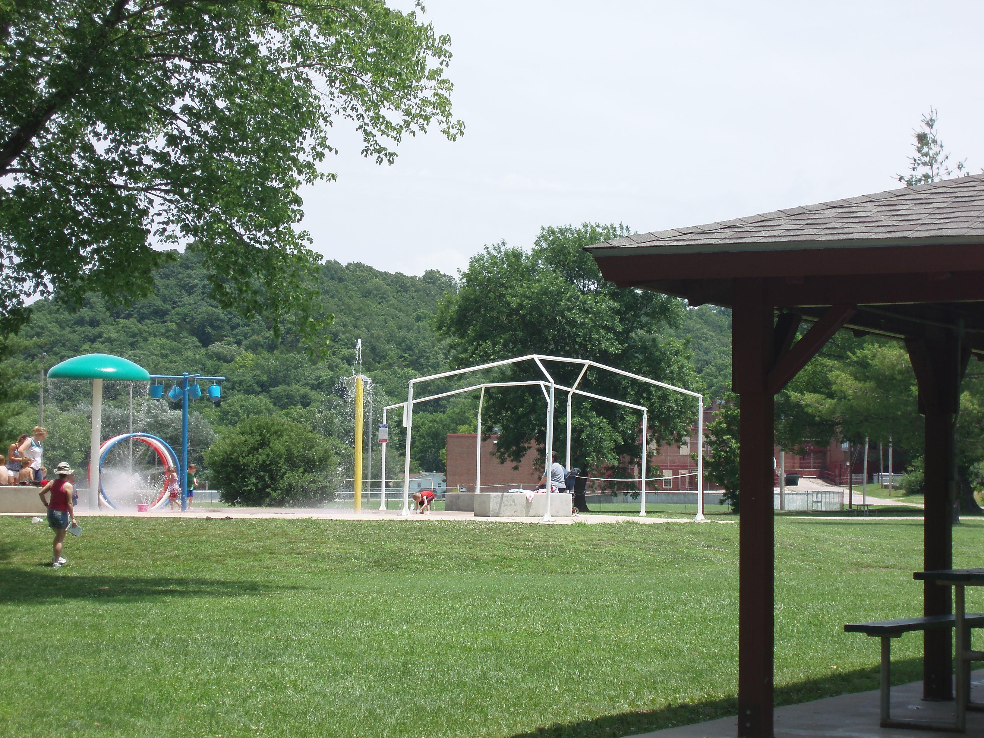
Can't-miss activities
Culture, natural beauty, and plain old fun.
Places to stay
Hang your (vacation) hat in a place that’s just your style.
Advertisement


