Plattsburg, MO
Advertisement
Plattsburg, MO Map
Plattsburg is a US city in Clinton County in the state of Missouri. Located at the longitude and latitude of -94.453300, 39.564400 and situated at an elevation of 289 meters. In the 2020 United States Census, Plattsburg, MO had a population of 2,222 people. Plattsburg is in the Central Standard Time timezone at Coordinated Universal Time (UTC) -6. Find directions to Plattsburg, MO, browse local businesses, landmarks, get current traffic estimates, road conditions, and more.
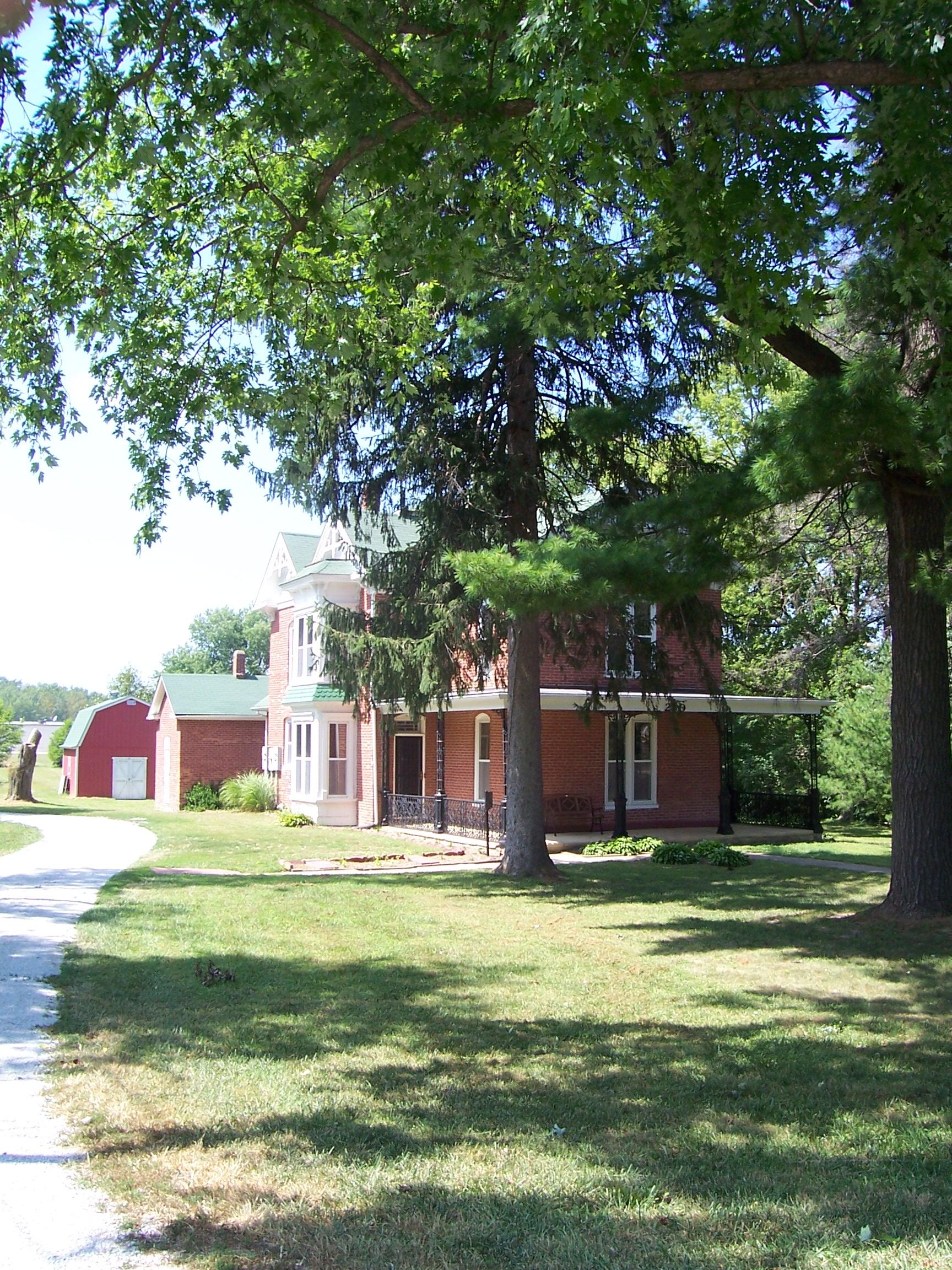
Plattsburg, located in Missouri, is a city that offers a blend of historical charm and small-town allure. Known for its rich history, Plattsburg is a place where the past is preserved with pride. The city's historical significance is highlighted by its well-preserved architecture and landmarks, offering a glimpse into its storied past. Visitors often explore the Clinton County Historical Society Museum, which houses a collection of artifacts and exhibits that detail the area's development and heritage. The museum serves as a key attraction, providing insight into the local culture and history.
A stroll through Plattsburg reveals a quaint downtown area, where local shops and eateries cater to both residents and visitors. The city's parks, such as Perkins Park, provide a peaceful retreat with walking trails and recreational facilities, perfect for a leisurely afternoon. Plattsburg's community events, including seasonal festivals and farmers' markets, reflect the city's close-knit atmosphere and offer opportunities for visitors to experience local traditions and hospitality. Whether you're a history enthusiast or simply seeking a quiet getaway, Plattsburg presents a compelling destination with its unique blend of historical and contemporary attractions.
Nearby cities include: Atchison, MO, Lathrop, MO, Gower, MO, Turney, MO, Trimble, MO, Holt, MO, Edgerton, MO, Platte, MO, Ridgely, MO, Tremont, MO.
Places in Plattsburg
Dine and drink
Eat and drink your way through town.
Can't-miss activities
Culture, natural beauty, and plain old fun.
Places to stay
Hang your (vacation) hat in a place that’s just your style.
Advertisement


