Norborne, MO
Norborne, MO
Advertisement
Norborne, MO Map
Norborne is a US city in Carroll County in the state of Missouri. Located at the longitude and latitude of -93.676100, 39.302200 and situated at an elevation of 210 meters. In the 2020 United States Census, Norborne, MO had a population of 634 people. Norborne is in the Central Standard Time timezone at Coordinated Universal Time (UTC) -6. Find directions to Norborne, MO, browse local businesses, landmarks, get current traffic estimates, road conditions, and more.
Norborne, Missouri, is a small city that proudly carries the title of the "Soybean Capital of the World." This designation highlights its significant contribution to soybean production, a key aspect of its local economy and identity. Visitors often come to experience the annual Soybean Festival, which celebrates this agricultural heritage with parades, food stalls, and community events. This festival is a highlight for locals and tourists alike, eager to engage in the small-town charm and hospitality that Norborne offers.
For those interested in history, Norborne provides a glimpse into the past with its quaint downtown area, where historic buildings and local shops create a nostalgic atmosphere. Additionally, the Norborne Historical Society offers insights into the region's development and the role agriculture has played through the decades. While the city may not boast large attractions, its community spirit and dedication to its agricultural roots make it a unique destination for those interested in rural American life.
Nearby cities include: Dover, MO, Hardin, MO, Carrollton, MO, Carrollton, MO, Waverly, MO, Bogard, MO, Lexington, MO, Grand Pass, MO, Corder, MO, Henrietta, MO.
Places in Norborne
Dine and drink
Eat and drink your way through town.
Can't-miss activities
Culture, natural beauty, and plain old fun.
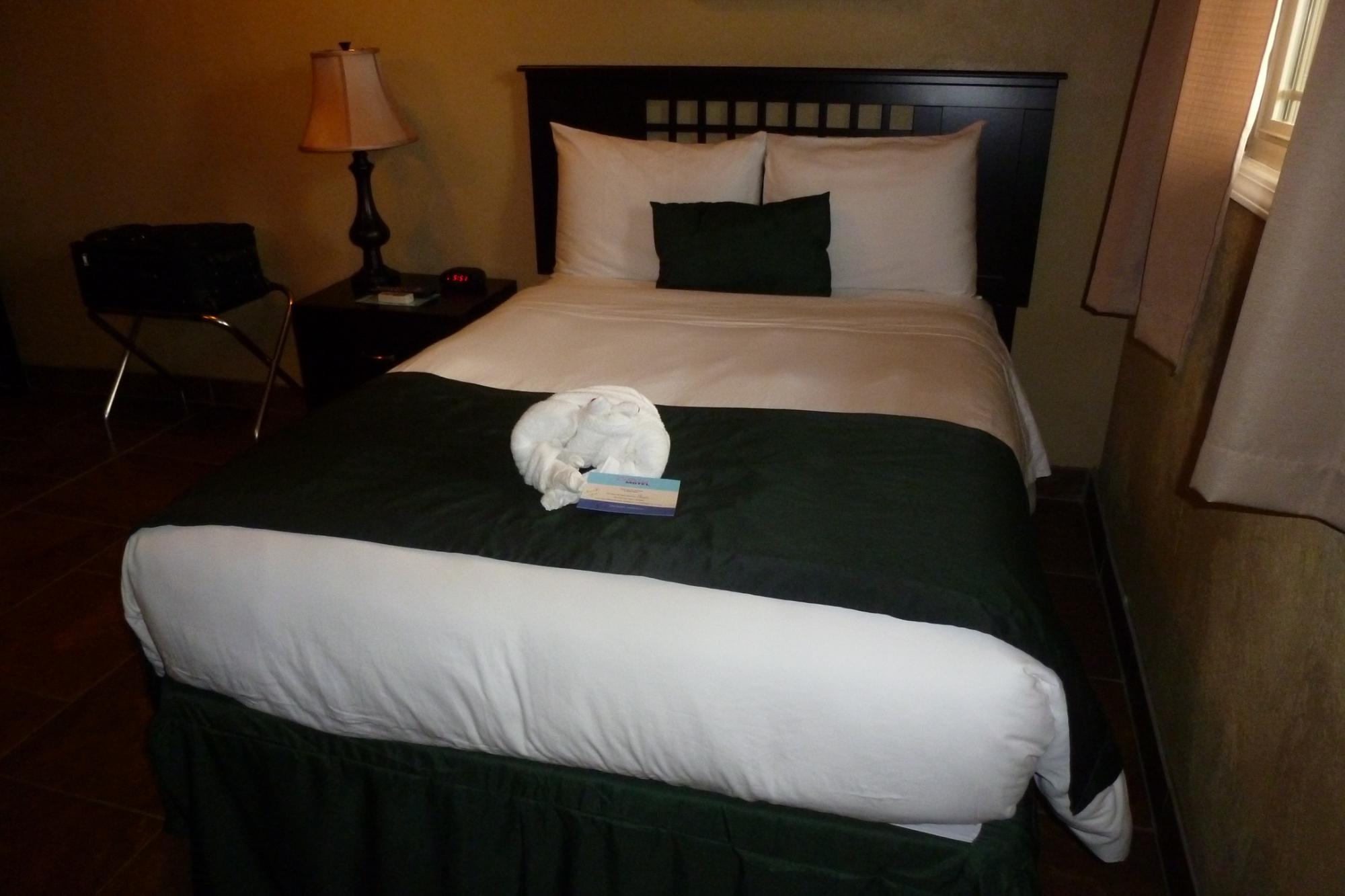
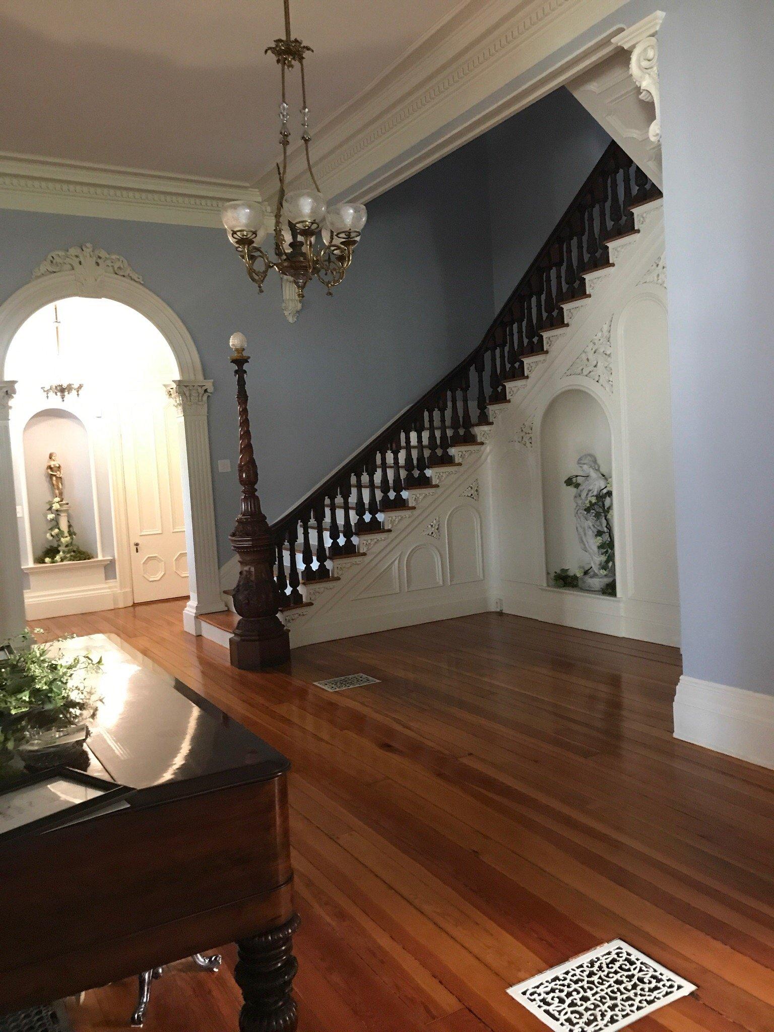
Places to stay
Hang your (vacation) hat in a place that’s just your style.
Advertisement


