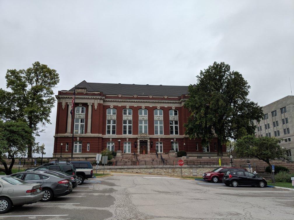
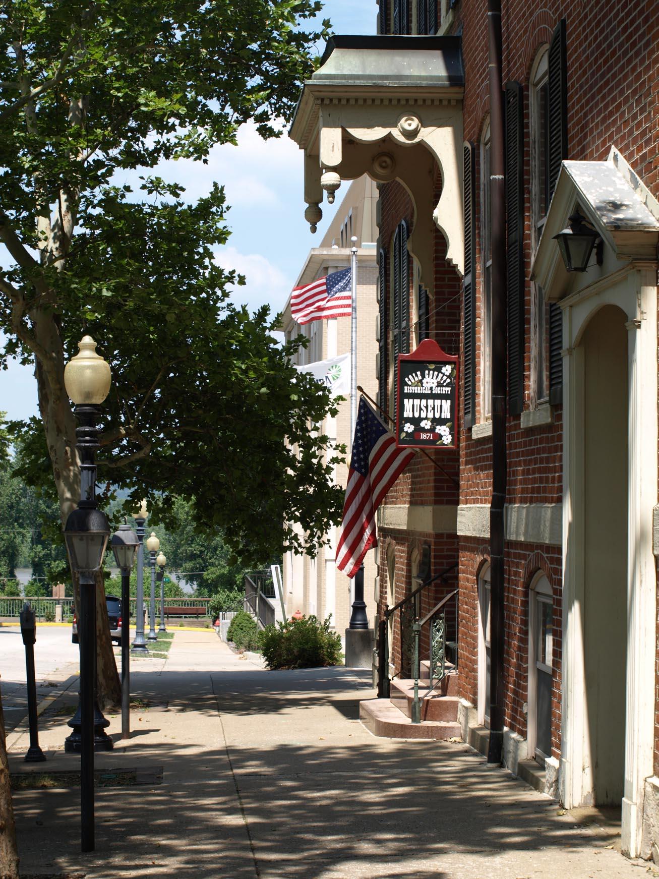
Jefferson City, MO
Advertisement
Jefferson City, MO Map
Jefferson City is a US city in Cole County in the state of Missouri. Located at the longitude and latitude of -92.173611, 38.576667 and situated at an elevation of 192 meters. In the 2020 United States Census, Jefferson City, MO had a population of 43,228 people. Jefferson City is in the Central Standard Time timezone at Coordinated Universal Time (UTC) -6. Find directions to Jefferson City, MO, browse local businesses, landmarks, get current traffic estimates, road conditions, and more.
Jefferson City, the capital of Missouri, is a city steeped in history and political significance. Known for its picturesque location along the Missouri River, it has been the state's seat of government since 1821. The city is named after Thomas Jefferson, the third President of the United States, reflecting its deep-rooted connections to American heritage. The Missouri State Capitol is a prominent landmark, renowned for its impressive dome and the beautiful murals depicting the state's history. Visitors can explore the Capitol's museum and enjoy guided tours that offer insights into Missouri's legislative processes.
Beyond its governmental role, Jefferson City offers a variety of attractions for history buffs and casual tourists alike. The Missouri State Penitentiary, once the oldest operating prison west of the Mississippi, now serves as a museum offering guided tours that delve into its storied past. The city's downtown area boasts charming shops and eateries, providing a glimpse into the local culture and community. For those interested in nature, the Katy Trail State Park offers scenic biking and hiking paths, tracing the former rail line through lush countryside. With its blend of history, culture, and natural beauty, Jefferson City provides a well-rounded experience for visitors.
Nearby cities include: Holts Summit, MO, Summit, MO, Wardsville, MO, Taos, MO, Lake Mykee Town, MO, Cedar, MO, Cote Sans Dessein, MO, Lohman, MO, New Bloomfield, MO, Hartsburg, MO.
Places in Jefferson City
Dine and drink
Eat and drink your way through town.
Can't-miss activities
Culture, natural beauty, and plain old fun.
Places to stay
Hang your (vacation) hat in a place that’s just your style.
Advertisement


