Blackburn, MO
Advertisement
Blackburn, MO Map
Blackburn is a US city in Saline County in the state of Missouri. Located at the longitude and latitude of -93.484700, 39.103900 and situated at an elevation of 242 meters. In the 2020 United States Census, Blackburn, MO had a population of 224 people. Blackburn is in the Central Standard Time timezone at Coordinated Universal Time (UTC) -6. Find directions to Blackburn, MO, browse local businesses, landmarks, get current traffic estimates, road conditions, and more.
Blackburn, located in the heart of Missouri, is a small city that exudes classic Midwestern charm. Known for its agricultural roots, Blackburn offers a quaint atmosphere that reflects its historical significance. The city is steeped in history, which is evident in its well-preserved architecture and the local museum that chronicles its development from a rural settlement to the present day. Visitors often come to explore the local parks, which provide a serene setting for picnics and leisurely strolls.
One of the notable attractions in Blackburn is the annual Harvest Festival, which celebrates the city's agricultural heritage with local produce, crafts, and live entertainment. The festival is a highlight for both residents and visitors, offering a glimpse into the community spirit that defines Blackburn. Additionally, the local eateries and shops provide a taste of local culture and hospitality, making Blackburn a worthwhile stop for anyone traveling through Missouri.
Nearby cities include: Alma, MO, Mount Leonard, MO, Grand Pass, MO, Waverly, MO, Corder, MO, Emma, MO, Malta Bend, MO, Concordia, MO, Sweet Springs, MO, Aullville, MO.
Places in Blackburn
Dine and drink
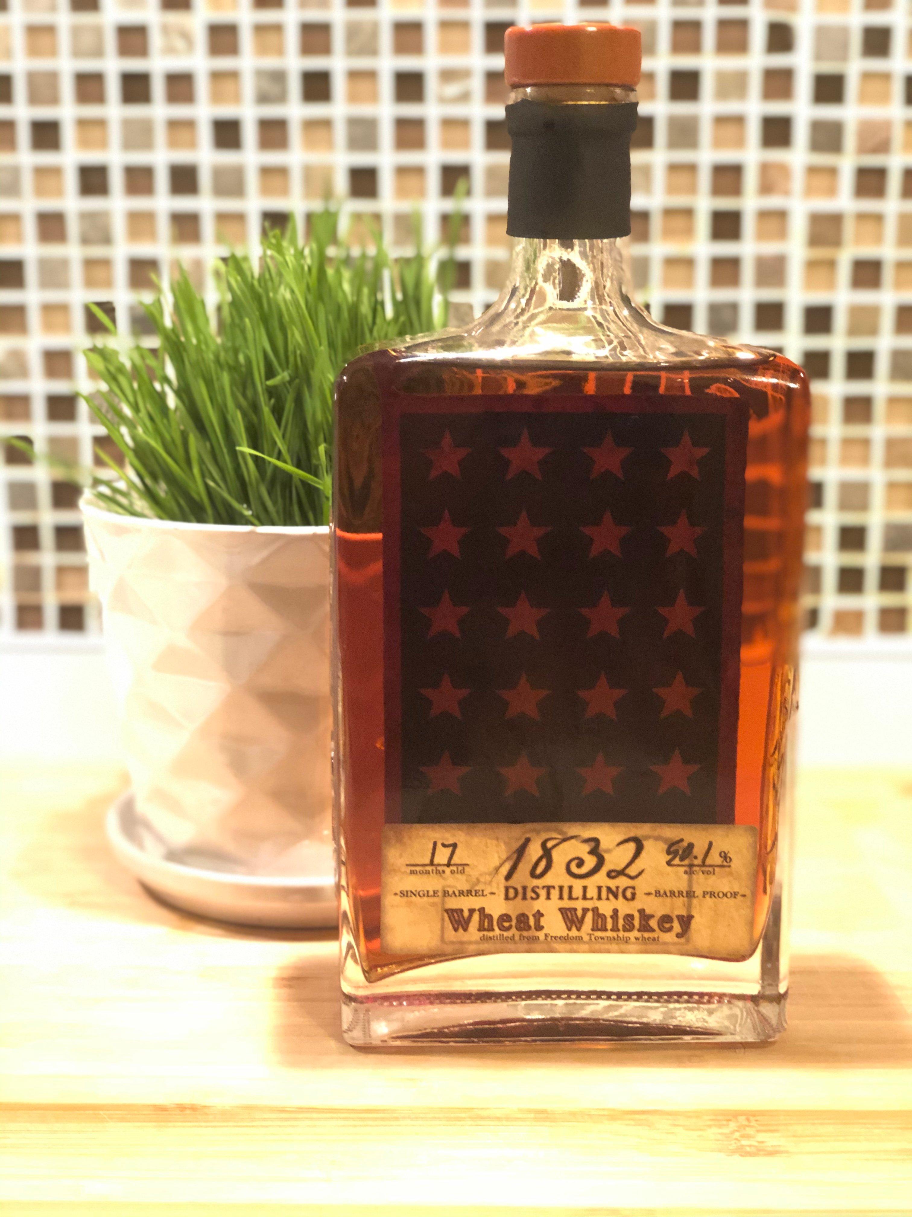
Eat and drink your way through town.
Can't-miss activities
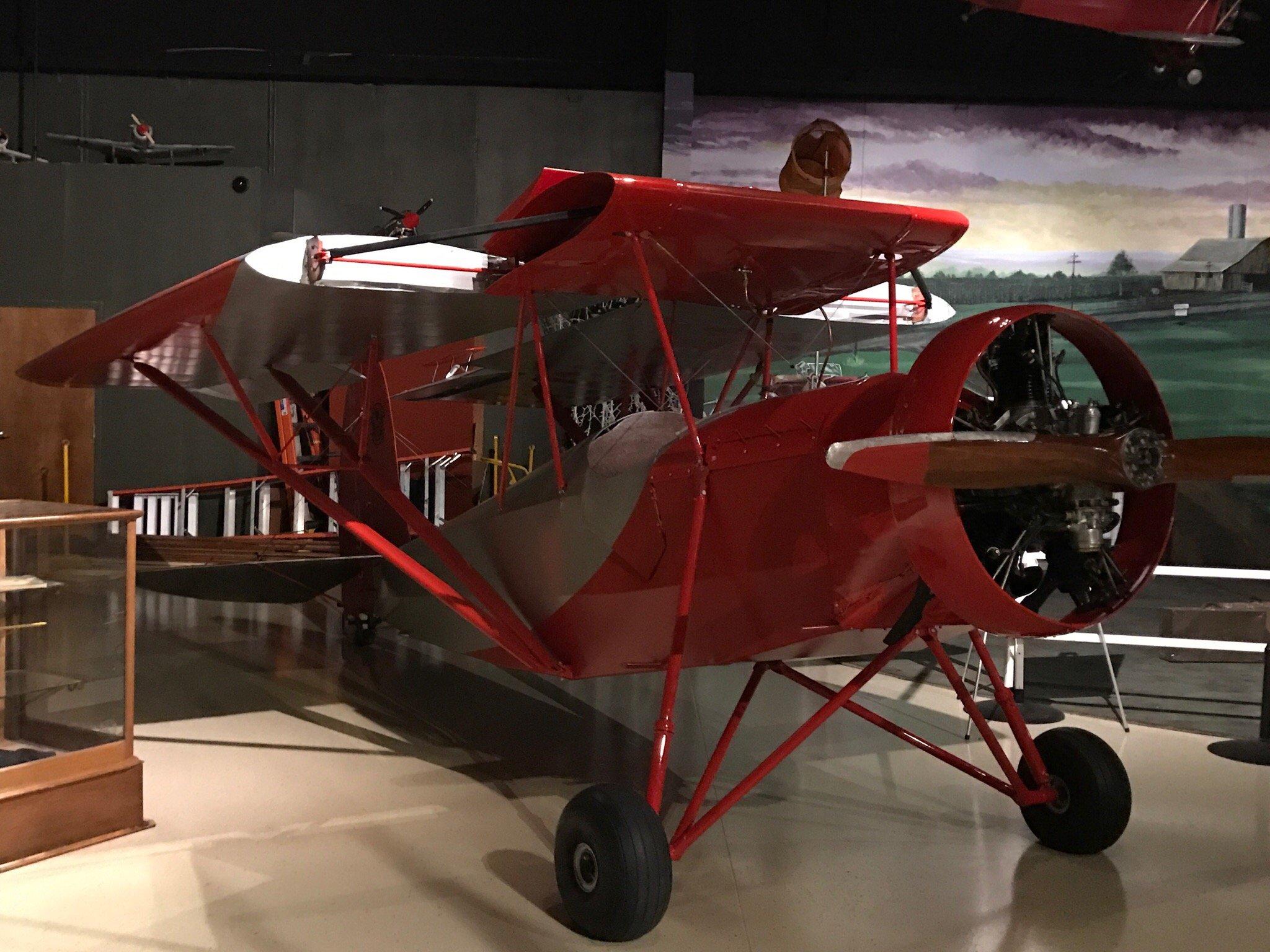
Culture, natural beauty, and plain old fun.
Places to stay
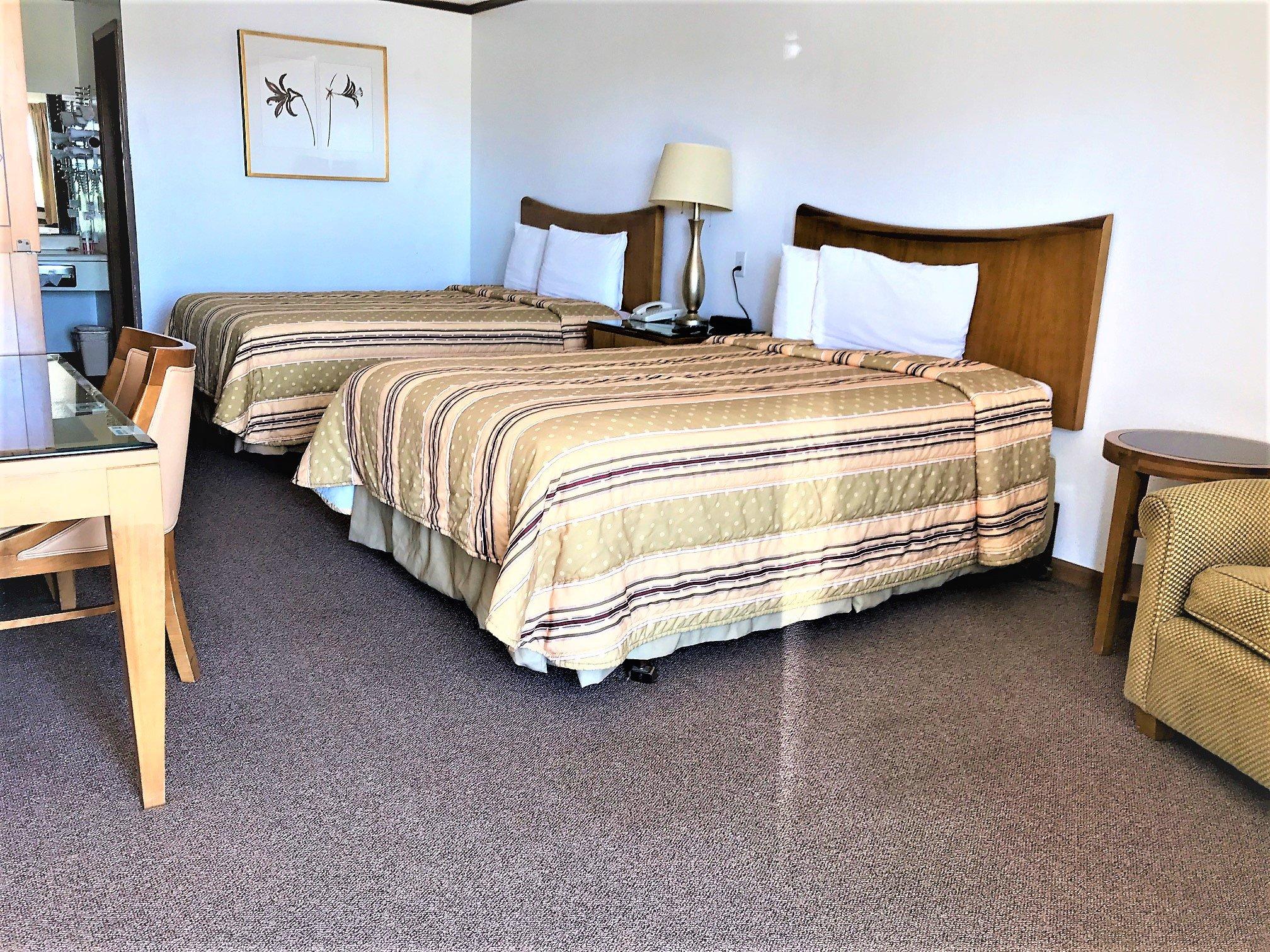
Hang your (vacation) hat in a place that’s just your style.
Advertisement


