Advance, MO
Advance, MO
Advertisement
Advance, MO Map
Advance is a US city in Stoddard County in the state of Missouri. Located at the longitude and latitude of -89.911667, 37.104167 and situated at an elevation of 110 meters. In the 2020 United States Census, Advance, MO had a population of 1,349 people. Advance is in the Central Standard Time timezone at Coordinated Universal Time (UTC) -6. Find directions to Advance, MO, browse local businesses, landmarks, get current traffic estimates, road conditions, and more.
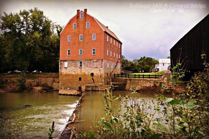
Advance, located in the state of Missouri, is a small city that offers a glimpse into the quintessential charm of rural America. Known for its tight-knit community and serene landscapes, Advance provides a peaceful retreat from the hustle and bustle of urban life. The city is characterized by its agricultural roots, and visitors can often witness the beauty of vast farmlands and enjoy the simplicity of country living. Historically, Advance has served as a hub for local farming communities, and its heritage is reflected in the traditional values and warm hospitality of its residents.
Among the notable spots in Advance is the Advance Historical Society, which offers insights into the city's past through various exhibits and collections that highlight the area's development over the years. Additionally, the nearby nature trails and parks provide opportunities for outdoor enthusiasts to explore the scenic beauty of Missouri's countryside. While Advance may not be a bustling metropolis, its charm lies in its tranquility and the genuine friendliness of its community, making it an ideal destination for those seeking a quiet escape.
Nearby cities include: Bell City, MO, Perkins, MO, Wayne, MO, Zalma, MO, Welch, MO, Whitewater, MO, Delta, MO, Liberty, MO, Allenville, MO, Lorance, MO.
Places in Advance
Dine and drink
Eat and drink your way through town.
Can't-miss activities
Culture, natural beauty, and plain old fun.
Places to stay
Hang your (vacation) hat in a place that’s just your style.
Advertisement


