Rochester, MN
Advertisement
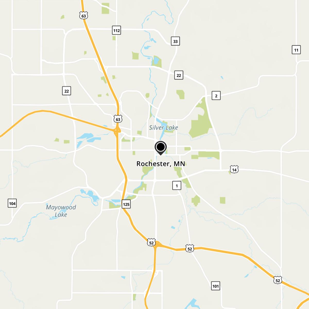
Rochester Map
Rochester is a city in the U.S. state of Minnesota and is the county seat of Olmsted County. Located on both banks of the Zumbro River, it is perhaps best known as the home of Mayo Clinic (giving rise to the city's nickname, "Med City") and is also home to a major IBM facility. The city has a population of 106,769 according to the 2010 United States Census, making it Minnesota's third-largest city and the largest outside of the Minneapolis-St. Paul-Bloomington Metropolitan Statistical Area.
The area was home to nomadic Sioux, Ojibwa, and Winnebago tribes of Native Americans. In 1851, the Sioux ceded the land to Minnesota Territory in the treaties of Traverse des Sioux and Mendota, which opened the land for settlement.
Rochester itself was founded by George Head in 1854; his land claim is now part of the city's business district. Originally from Rochester, New York, Head had settled in Waukesha, Wisconsin before moving west to Minnesota. He named the village on the South Fork of the Zumbro River after his New York hometown, and built a log cabin his family operated as Head's Tavern. By 1856, the population had grown to 50; by 1858, it was 1,500. The territorial legislature created Olmsted County on February 20, 1855, with Rochester named county seat in 1857. Rochester developed as a stagecoach stop between Saint Paul, Minnesota, and Dubuque, Iowa. When the railroad arrived in the 1860s, it brought new residents and business opportunities. In 1863, Dr. William W. Mayo arrived as the examining surgeon for draftees in the Civil War.
Nearby cities include Oronoco, Stewartville, Eyota, Elgin, Kasson.
US > MN > RochesterMap of Rochester, MN

Places in Rochester
Dine and drink
Eat and drink your way through town.
Can't-miss activities
Culture, natural beauty, and plain old fun.
Places to stay
Hang your (vacation) hat in a place that’s just your style.
Advertisement


