Pequot Lakes, MN
Advertisement
Pequot Lakes, MN Map
Pequot Lakes is a US city in Crow Wing County in the state of Minnesota. Located at the longitude and latitude of -94.309440, 46.603020 and situated at an elevation of 391 meters. In the 2020 United States Census, Pequot Lakes, MN had a population of 2,395 people. Pequot Lakes is in the Central Standard Time timezone at Coordinated Universal Time (UTC) -6. Find directions to Pequot Lakes, MN, browse local businesses, landmarks, get current traffic estimates, road conditions, and more.
Pequot Lakes, located in the heart of Minnesota, is renowned for its charming small-town atmosphere and the natural beauty of the surrounding lakes and forests. This city is a popular destination for those seeking outdoor recreation, with activities such as fishing, boating, and hiking readily available. One of its most notable landmarks is the Paul Bunyan Trail, a 120-mile multi-use trail that attracts cyclists, hikers, and snowmobilers throughout the year. The city hosts the annual Bean Hole Days festival, where visitors and locals gather to enjoy a unique tradition of cooking beans in cast iron kettles buried in the ground, celebrating the community spirit and local history.
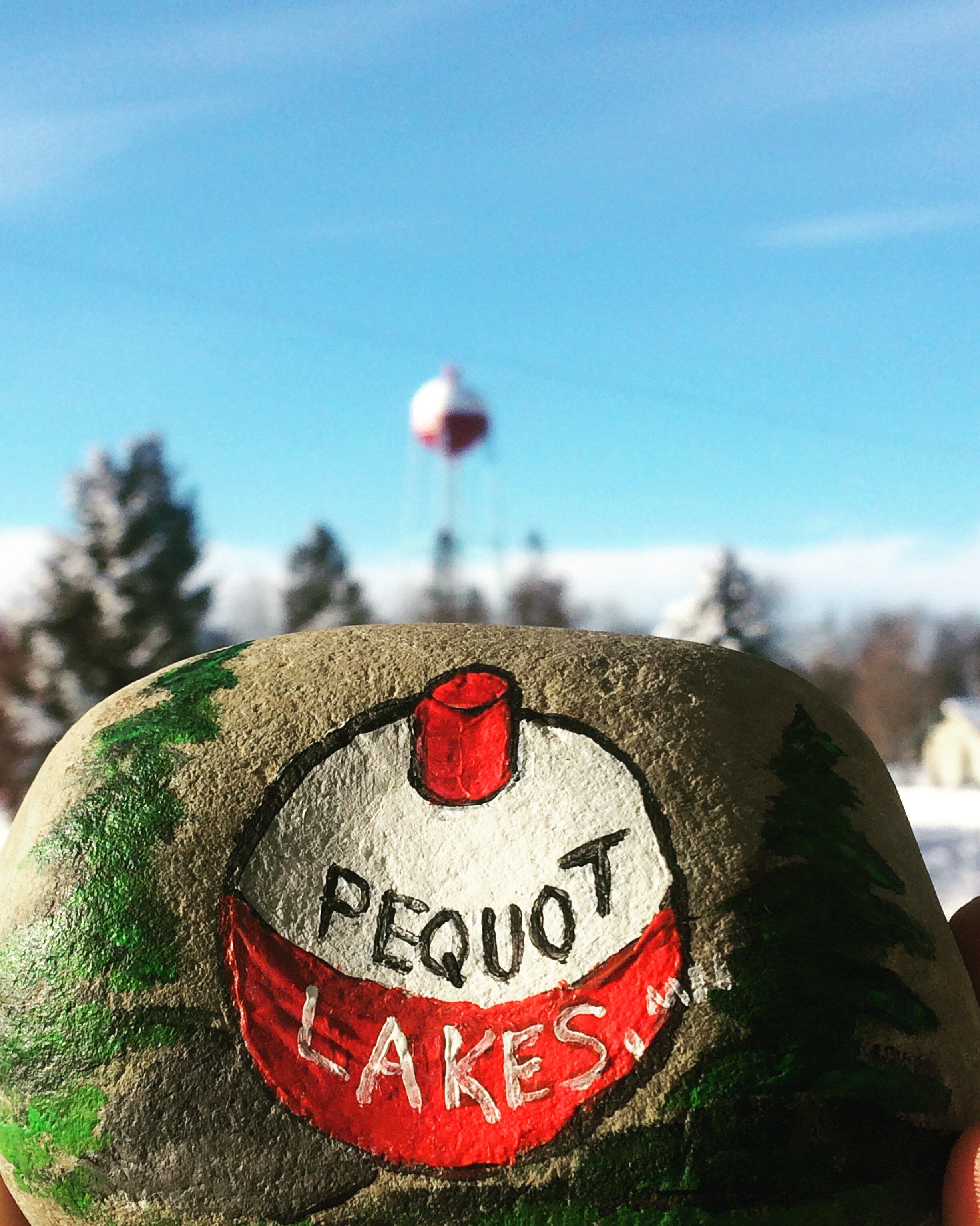
Pequot Lakes also features the iconic Pequot Lakes Bobber Water Tower, which is painted to resemble a fishing bobber, symbolizing the city's close connection to its lake life culture. The city's history is rich with tales of early settlers and the lumber industry, which played a significant role in its development. Visitors often explore the quaint downtown area, which offers an array of shops, restaurants, and cafes that reflect the city's welcoming and laid-back ambiance. Whether you're there to enjoy the scenic beauty or partake in its vibrant local events, Pequot Lakes offers a quintessential Minnesota experience.
Nearby cities include: Jenkins, MN, Breezy Point, MN, Jenkins, MN, Pelican, MN, Maple, MN, Nisswa, MN, Wilson, MN, Lake Shore, MN, Walden, MN, Pine River, MN.
Places in Pequot Lakes
Dine and drink
Eat and drink your way through town.
Can't-miss activities
Culture, natural beauty, and plain old fun.
Places to stay
Hang your (vacation) hat in a place that’s just your style.
Advertisement


