


Ortonville, MN
Advertisement
Ortonville, MN Map
Ortonville is a US city in Big Stone County in the state of Minnesota. Located at the longitude and latitude of -96.444780, 45.304690 and situated at an elevation of 310 meters. In the 2020 United States Census, Ortonville, MN had a population of 2,021 people. Ortonville is in the Central Standard Time timezone at Coordinated Universal Time (UTC) -6. Find directions to Ortonville, MN, browse local businesses, landmarks, get current traffic estimates, road conditions, and more.
Ortonville, nestled in the western part of Minnesota, is a charming city known for its picturesque landscapes and connection to Big Stone Lake, which serves as a natural border with South Dakota. The lake is a central feature of the city, offering ample opportunities for fishing, boating, and other water-based activities that draw outdoor enthusiasts year-round. Ortonville's history is deeply connected to its natural surroundings, with early settlers attracted by the fertile land and access to water. The city's heritage is celebrated at the Big Stone County Historical Museum, where visitors can delve into the area's past, including its Native American roots and the development of agriculture and industry.
Among the popular spots in Ortonville is Central Park, which provides a serene setting for picnics and leisurely strolls, complete with scenic views of the lake. Another notable location is the Ortonville Golf Course, offering a challenging yet enjoyable experience for golfers amid stunning natural vistas. The city also hosts several events throughout the year, including the annual Cornfest, which highlights the community spirit with parades, live music, and local food. Ortonville's blend of natural beauty, recreational activities, and rich history makes it a unique destination for those looking to explore the quieter side of Minnesota.
Nearby cities include: Big Stone City, SD, Big Stone, SD, Odessa, MN, Lockwood, SD, Odessa, MN, Yellow Bank, MN, Otrey, MN, Alban, SD, Almond, MN, Prior, MN.
Places in Ortonville
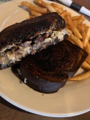
Dine and drink
Eat and drink your way through town.


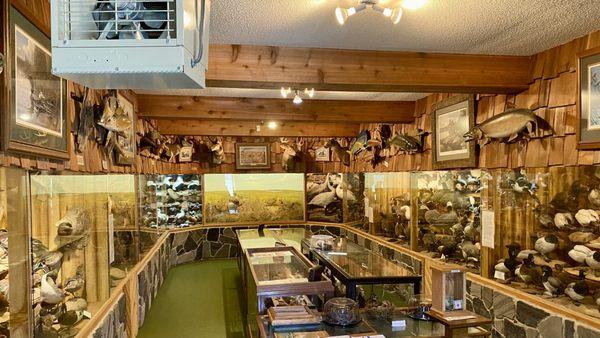
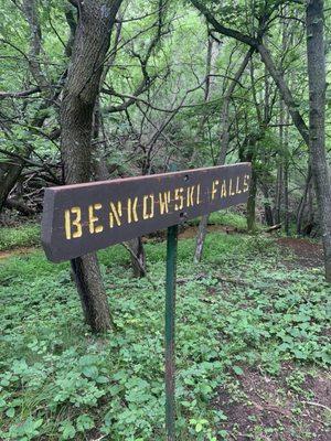
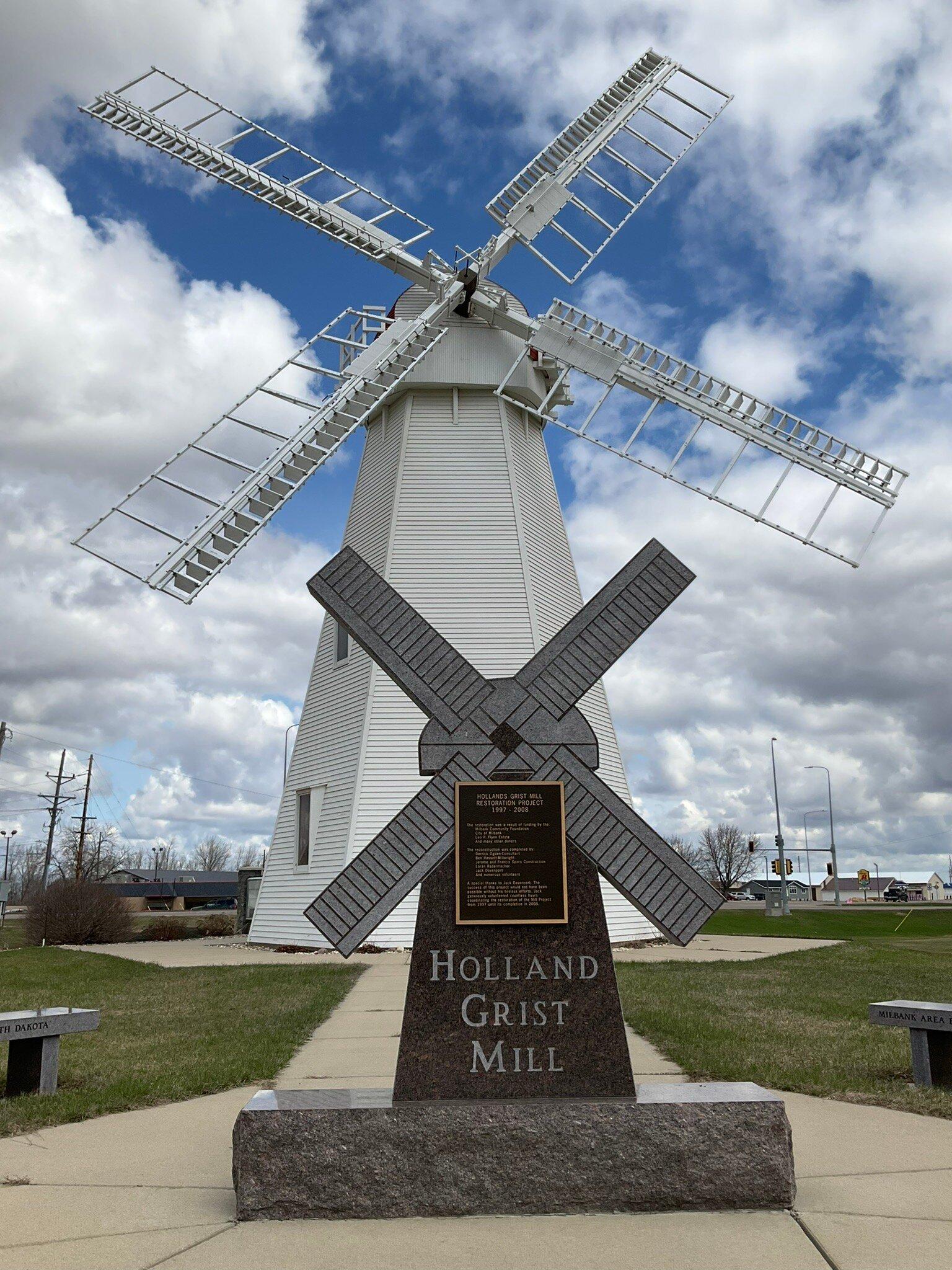
Can't-miss activities
Culture, natural beauty, and plain old fun.
Places to stay
Hang your (vacation) hat in a place that’s just your style.


Advertisement