Naytahwaush, MN
Advertisement
Naytahwaush, MN Map
Naytahwaush is a US city in Mahnomen County in the state of Minnesota. Located at the longitude and latitude of -95.630278, 47.264444 and situated at an elevation of 453 meters. In the 2020 United States Census, Naytahwaush, MN had a population of 504 people. Naytahwaush is in the Central Standard Time timezone at Coordinated Universal Time (UTC) -6. Find directions to Naytahwaush, MN, browse local businesses, landmarks, get current traffic estimates, road conditions, and more.
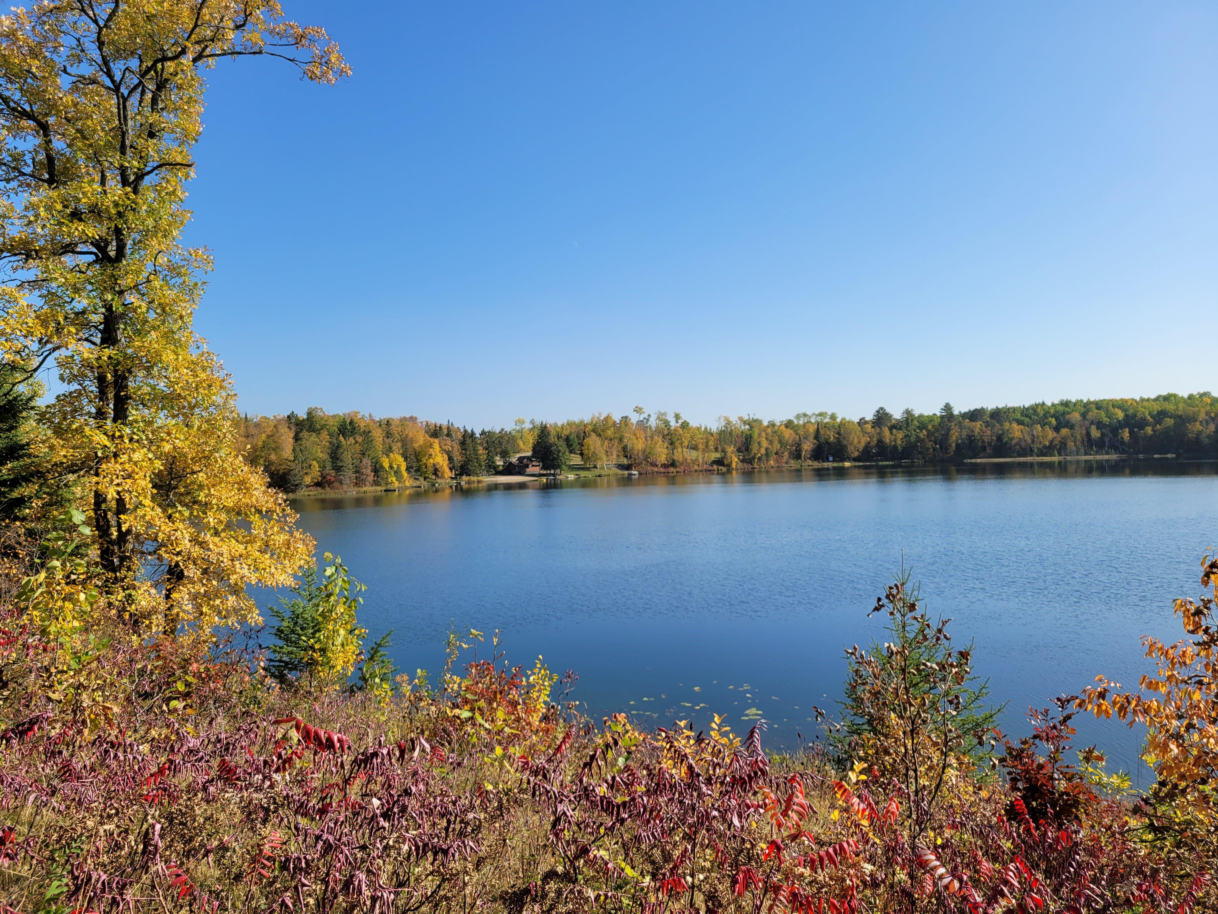
Naytahwaush, situated in the northern part of Minnesota, is a small community known for its serene natural surroundings and rich indigenous heritage. It serves as a gateway to the pristine wilderness of the White Earth Indian Reservation, offering visitors a glimpse into the culture and traditions of the Ojibwe people. The town is particularly noted for its proximity to beautiful lakes and forests, making it an attractive destination for outdoor enthusiasts interested in fishing, hiking, and bird watching. One of the highlights in the area is the Naytahwaush Nightriders Snowmobile Club, which maintains a network of trails perfect for winter sports enthusiasts.
While Naytahwaush may not boast a plethora of urban attractions, its cultural significance and natural beauty make it a unique spot for those looking to experience the tranquility of Minnesota's landscapes and the rich tapestry of Native American history. The annual Naytahwaush Music Festival is a notable event, drawing visitors from across the region to enjoy a diverse lineup of performances while fostering a sense of community. This festival, along with various cultural exhibits and gatherings, provides an opportunity to learn about and celebrate the area's indigenous roots in a welcoming environment.
Nearby cities include: Twin Lakes, MN, La Garde, MN, The Ranch, MN, Little Elbow, MN, Clover, MN, Oakland, MN, La Prairie, MN, Eagle View, MN, Rice Lake, MN, Lake Grove, MN.
Places in Naytahwaush
Dine and drink
Eat and drink your way through town.
Can't-miss activities
Culture, natural beauty, and plain old fun.
Places to stay
Hang your (vacation) hat in a place that’s just your style.
Advertisement


