Hoyt Lakes, MN
Advertisement
Hoyt Lakes, MN Map
Hoyt Lakes is a US city in St Louis County in the state of Minnesota. Located at the longitude and latitude of -92.138510, 47.519650 and situated at an elevation of 449 meters. In the 2020 United States Census, Hoyt Lakes, MN had a population of 2,020 people. Hoyt Lakes is in the Central Standard Time timezone at Coordinated Universal Time (UTC) -6. Find directions to Hoyt Lakes, MN, browse local businesses, landmarks, get current traffic estimates, road conditions, and more.
Hoyt Lakes, located in the northeastern part of Minnesota, is a city that captures the essence of the state's rich mining history. Established in the mid-20th century, Hoyt Lakes was primarily developed to accommodate workers of the Erie Mining Company, which played a pivotal role in the region's iron ore production. This industrial heritage remains a significant aspect of the city's identity, with remnants of its mining past visible in the surrounding landscapes and local culture.
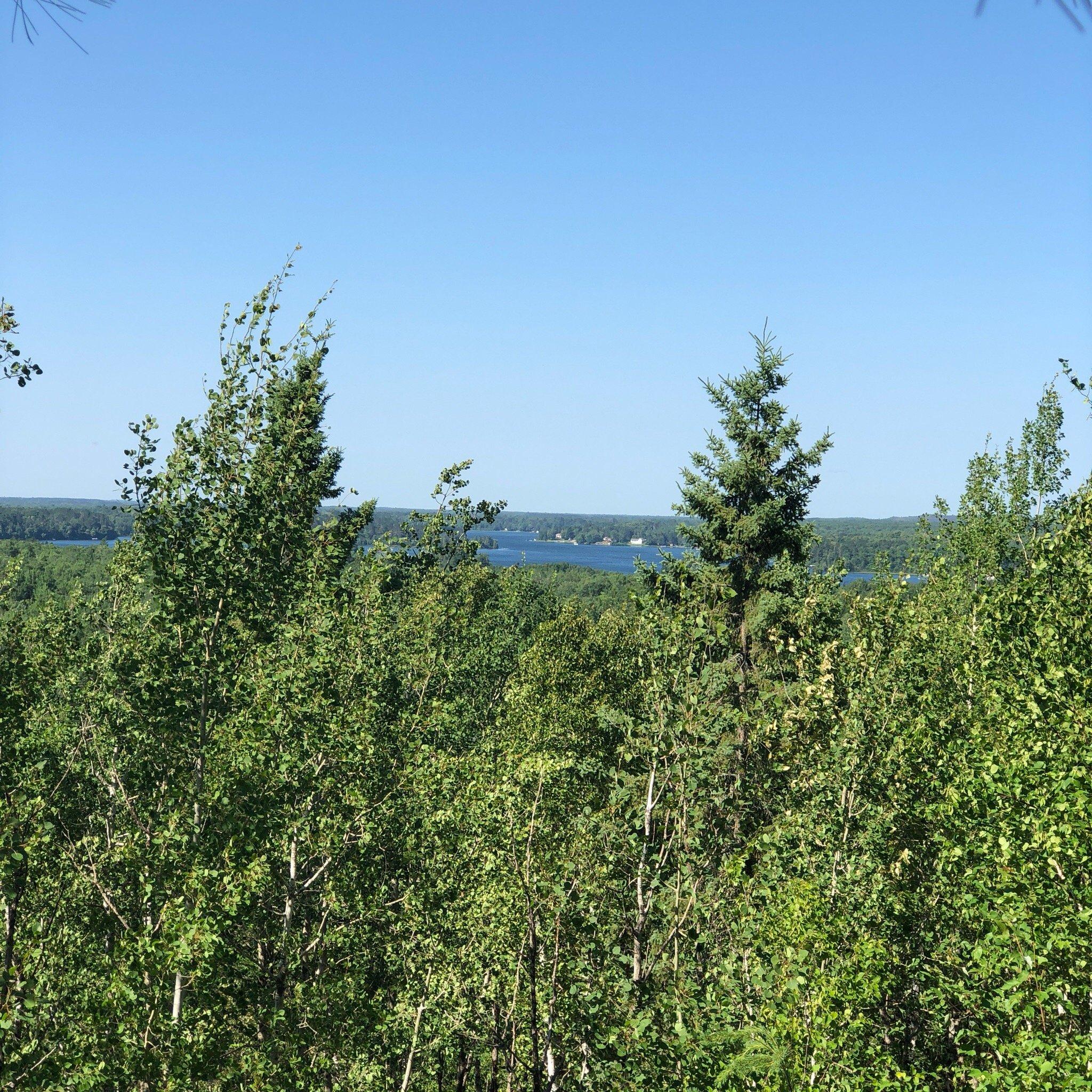
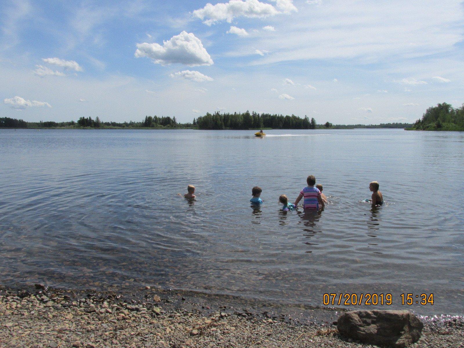
The city is also known for its proximity to natural attractions, making it a draw for outdoor enthusiasts. The vast expanses of the Superior National Forest provide ample opportunities for hiking, camping, and wildlife observation. Additionally, the city is near the scenic Mesabi Trail, a popular route for biking and walking that spans over 100 miles. Hoyt Lakes offers a quiet retreat with its serene lakes and ample green spaces, ideal for those seeking a peaceful escape into nature while appreciating the historical backdrop of Minnesota's Iron Range.
Nearby cities include: Aurora, MN, White, MN, Biwabik, MN, Embarrass, MN, McKinley, MN, Colvin, MN, Pike, MN, Gilbert, MN, Makinen, MN, Babbitt, MN.
Places in Hoyt Lakes
Dine and drink
Eat and drink your way through town.
Can't-miss activities
Culture, natural beauty, and plain old fun.
Places to stay
Hang your (vacation) hat in a place that’s just your style.
Advertisement


