Albert Lea, MN
Advertisement
Albert Lea, MN Map
Albert Lea is a US city in Freeborn County in the state of Minnesota. Located at the longitude and latitude of -93.368270, 43.648010 and situated at an elevation of 379 meters. In the 2020 United States Census, Albert Lea, MN had a population of 18,492 people. Albert Lea is in the Central Standard Time timezone at Coordinated Universal Time (UTC) -6. Find directions to Albert Lea, MN, browse local businesses, landmarks, get current traffic estimates, road conditions, and more.
Albert Lea, located in southern Minnesota, is renowned for its picturesque lakes and vibrant community spirit. Known as "The Land Between the Lakes," the city is nestled between Fountain Lake and Albert Lea Lake, offering ample opportunities for water-based activities such as fishing, boating, and kayaking. The city is also celebrated for its commitment to outdoor recreation, with the Blazing Star State Trail providing a scenic route for bikers and hikers, connecting Albert Lea to Myre-Big Island State Park. This park is a haven for nature enthusiasts, featuring diverse wildlife and lush landscapes.
Historically, Albert Lea has roots that trace back to the mid-19th century when it served as a significant trading post and later developed as a key railway junction. The city has preserved its rich past through attractions like the Freeborn County Historical Museum, Library & Village, where visitors can explore exhibits detailing the area's history and heritage. Additionally, Albert Lea hosts the annual Big Island Rendezvous & Festival, a historical reenactment event that celebrates its pioneer days and draws visitors from across the region. Whether you're exploring its charming downtown or enjoying its natural beauty, Albert Lea offers a blend of history and outdoor adventure.
Nearby cities include: Albert Lea, MN, Pickerel Lake, MN, Hayward, MN, Hayward, MN, Twin Lakes, MN, Glenville, MN, Manchester, MN, Freeman, MN, Nunda, MN, Clarks Grove, MN.
Places in Albert Lea
Dine and drink
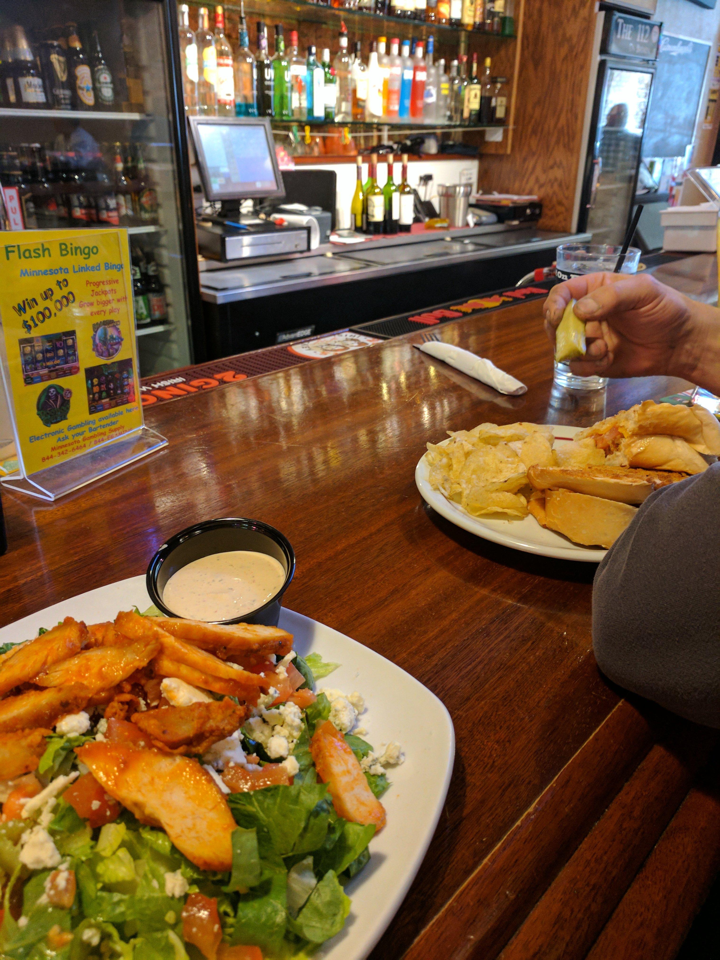
Eat and drink your way through town.
Places to stay
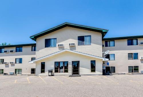
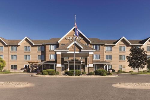
Hang your (vacation) hat in a place that’s just your style.
Advertisement


