Kaiser, MO
Advertisement
Kaiser, MO Map
Kaiser is a US city in Miller County in the state of Missouri. Located at the longitude and latitude of -92.589910, 38.133650 and situated at an elevation of 277 meters. In the 2020 United States Census, Kaiser, MO had a population of 456 people. Kaiser is in the Central Standard Time timezone at Coordinated Universal Time (UTC) -6. Find directions to Kaiser, MO, browse local businesses, landmarks, get current traffic estimates, road conditions, and more.
Kaiser, located in the state of Missouri, is a small yet notable destination primarily recognized for its proximity to Lake of the Ozarks State Park, one of the most popular recreational areas in the region. This state park offers a plethora of outdoor activities, including boating, fishing, hiking, and camping, making it a haven for nature enthusiasts and adventure seekers. The park's natural beauty and diverse wildlife create a serene backdrop for visitors looking to escape into the great outdoors.
Historically, Kaiser doesn't boast major historical landmarks within its immediate vicinity, but it serves as a gateway to the broader historical and cultural experiences offered by the Lake of the Ozarks area. The region's development was significantly influenced by the construction of the Bagnell Dam in the early 1930s, which led to the creation of the Lake of the Ozarks. This transformation turned the area into a bustling hub for tourism and recreation. Today, visitors to Kaiser can enjoy both the tranquility of its natural surroundings and the vibrant activities that the larger lake area offers.
Nearby cities include: Osage Beach, MO, Lake Ozark, MO, Brumley, MO, Bagnell, MO, Pawhuska, MO, Village of Four Seasons, MO, Village of Four Seasons, MO, Linn Creek, MO, Kiheka, MO, Jasper, MO.
Places in Kaiser
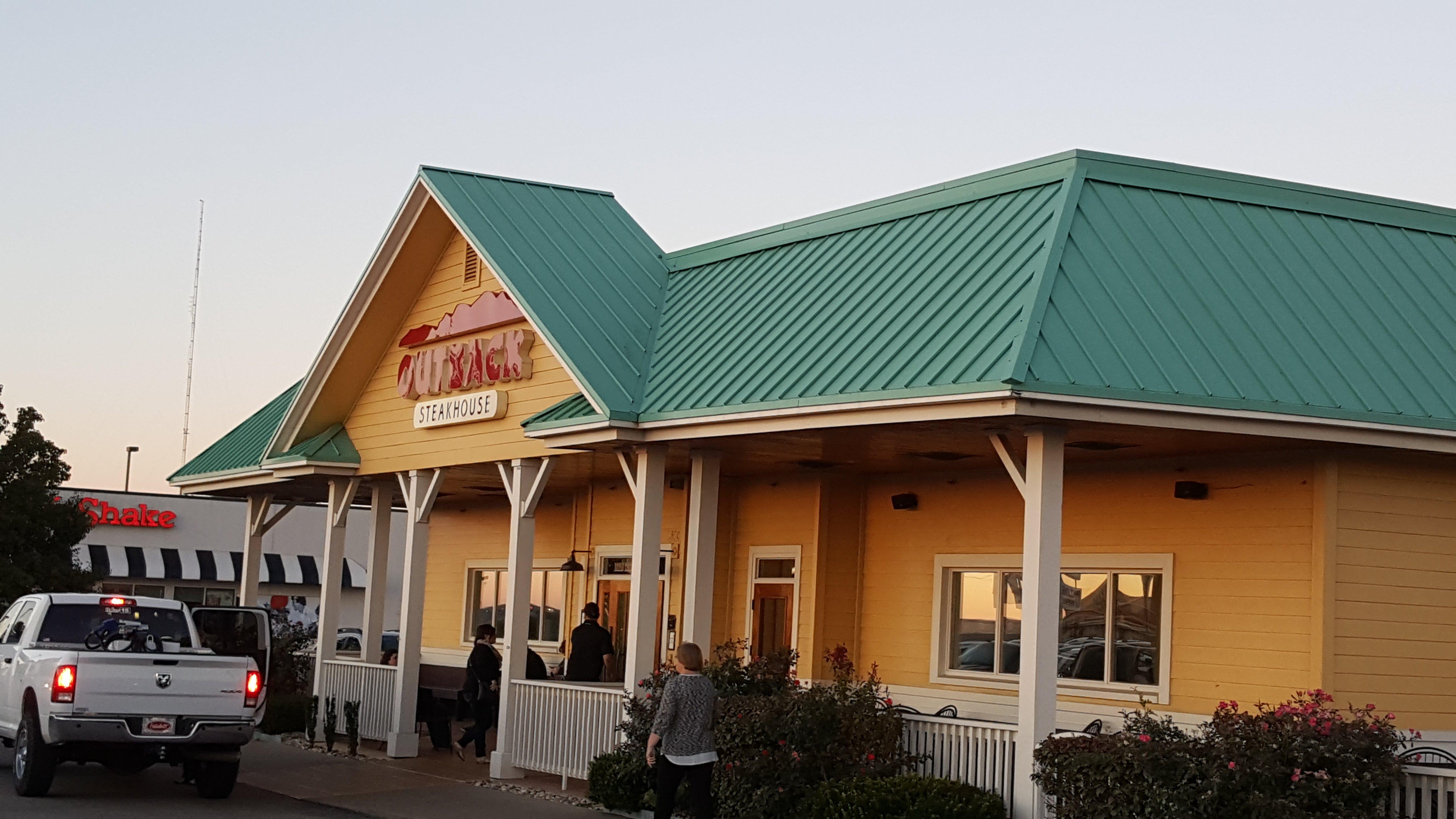
Dine and drink
Eat and drink your way through town.
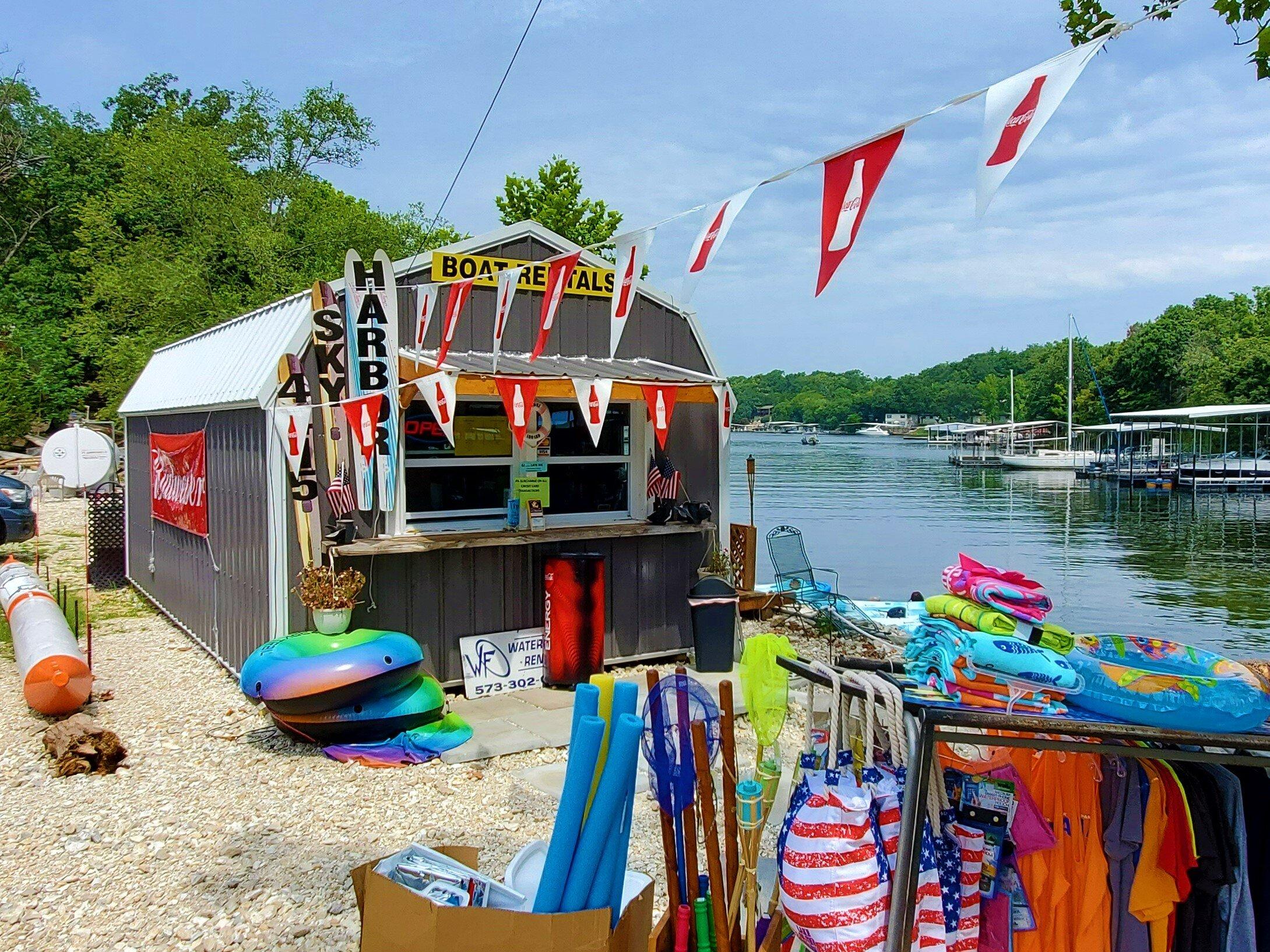
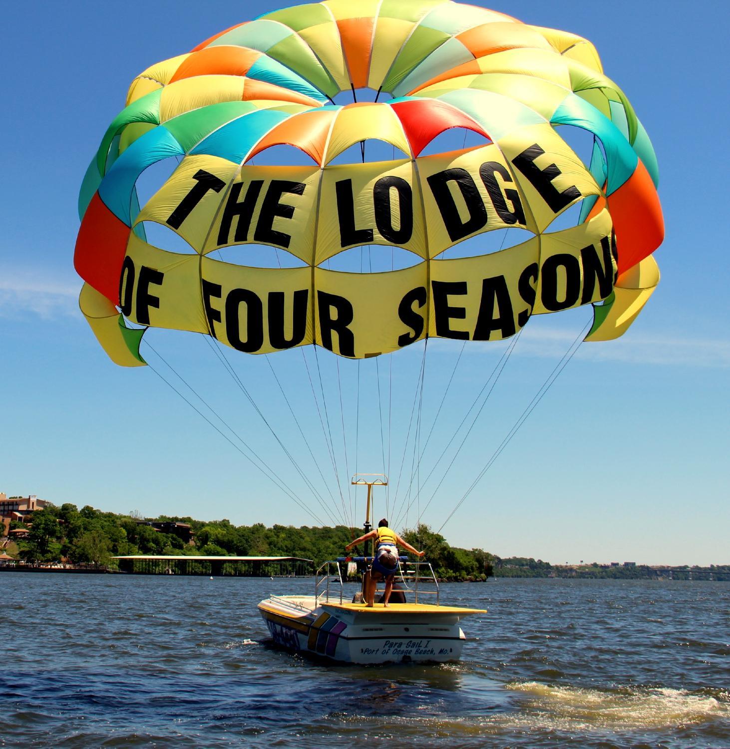
Can't-miss activities
Culture, natural beauty, and plain old fun.
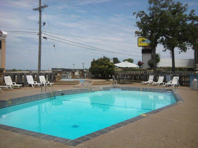
Places to stay
Hang your (vacation) hat in a place that’s just your style.
Advertisement


