Holden, MO
Advertisement
Holden, MO Map
Holden is a US city in Johnson County in the state of Missouri. Located at the longitude and latitude of -93.990600, 38.714400 and situated at an elevation of 260 meters. In the 2020 United States Census, Holden, MO had a population of 2,210 people. Holden is in the Central Standard Time timezone at Coordinated Universal Time (UTC) -6. Find directions to Holden, MO, browse local businesses, landmarks, get current traffic estimates, road conditions, and more.
Holden, located in the state of Missouri, is a small city that exudes a quaint charm and a rich sense of history. Founded in the mid-19th century, Holden has its roots deeply embedded in the era of westward expansion and the development of the American railroads, which played a significant role in its early growth. The city's historical backdrop is evident in its preserved architectural structures and the stories passed down through generations. Though modest in size, Holden offers a peaceful retreat with its tree-lined streets and welcoming community atmosphere.
Among the notable spots in Holden is the Holden City Park, a favorite local gathering place that offers a serene environment for picnics and leisurely walks. The park is a hub for community events and provides a glimpse into the city's close-knit community spirit. Additionally, visitors often appreciate the local shops and eateries that showcase the unique character and flavors of Holden. While it may not boast grand tourist attractions, the city's appeal lies in its simplicity and the genuine warmth of its residents, making it a charming stop for those exploring the heartland of Missouri.
Nearby cities include: Kingsville, MO, Centerview, MO, La Tour, MO, Gunn City, MO, Strasburg, MO, Blairstown, MO, Chilhowee, MO, East Lynne, MO, Warrensburg, MO, Lone Jack, MO.
Places in Holden
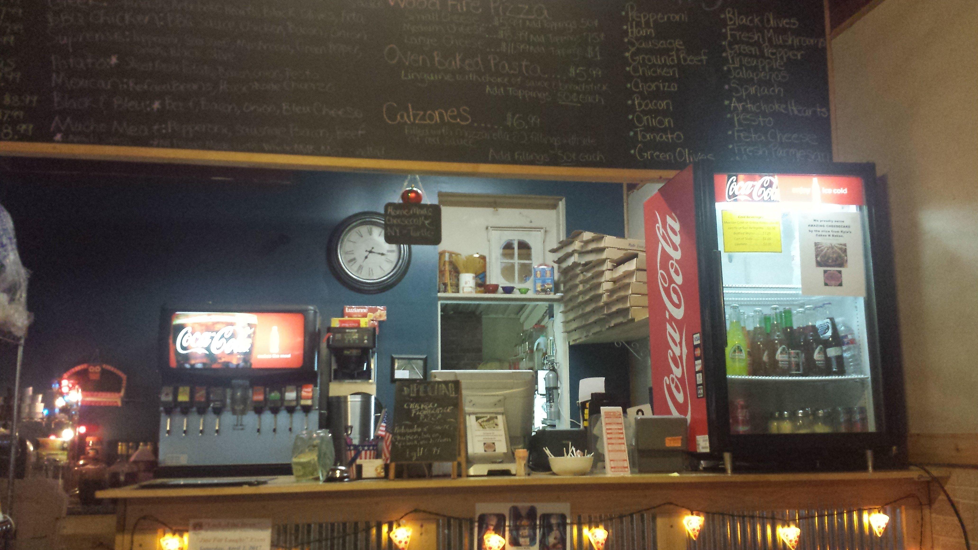
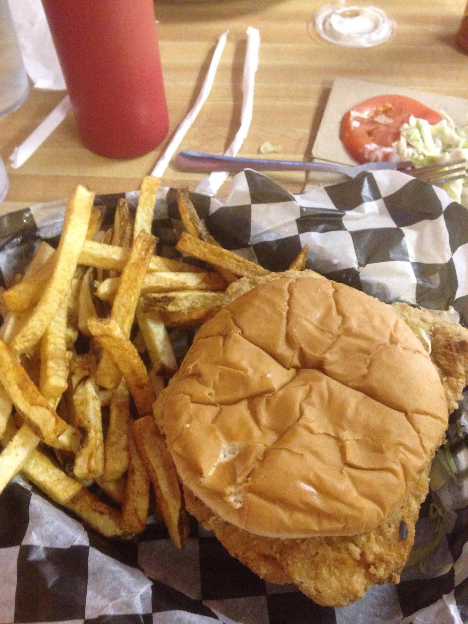
Dine and drink
Eat and drink your way through town.
Can't-miss activities
Culture, natural beauty, and plain old fun.
Places to stay
Hang your (vacation) hat in a place that’s just your style.
Advertisement


