Cuba, MO
Advertisement
Cuba, MO Map
Cuba is a US city in Crawford County in the state of Missouri. Located at the longitude and latitude of -91.403300, 38.063100 and situated at an elevation of 305 meters. In the 2020 United States Census, Cuba, MO had a population of 3,181 people. Cuba is in the Central Standard Time timezone at Coordinated Universal Time (UTC) -6. Find directions to Cuba, MO, browse local businesses, landmarks, get current traffic estimates, road conditions, and more.
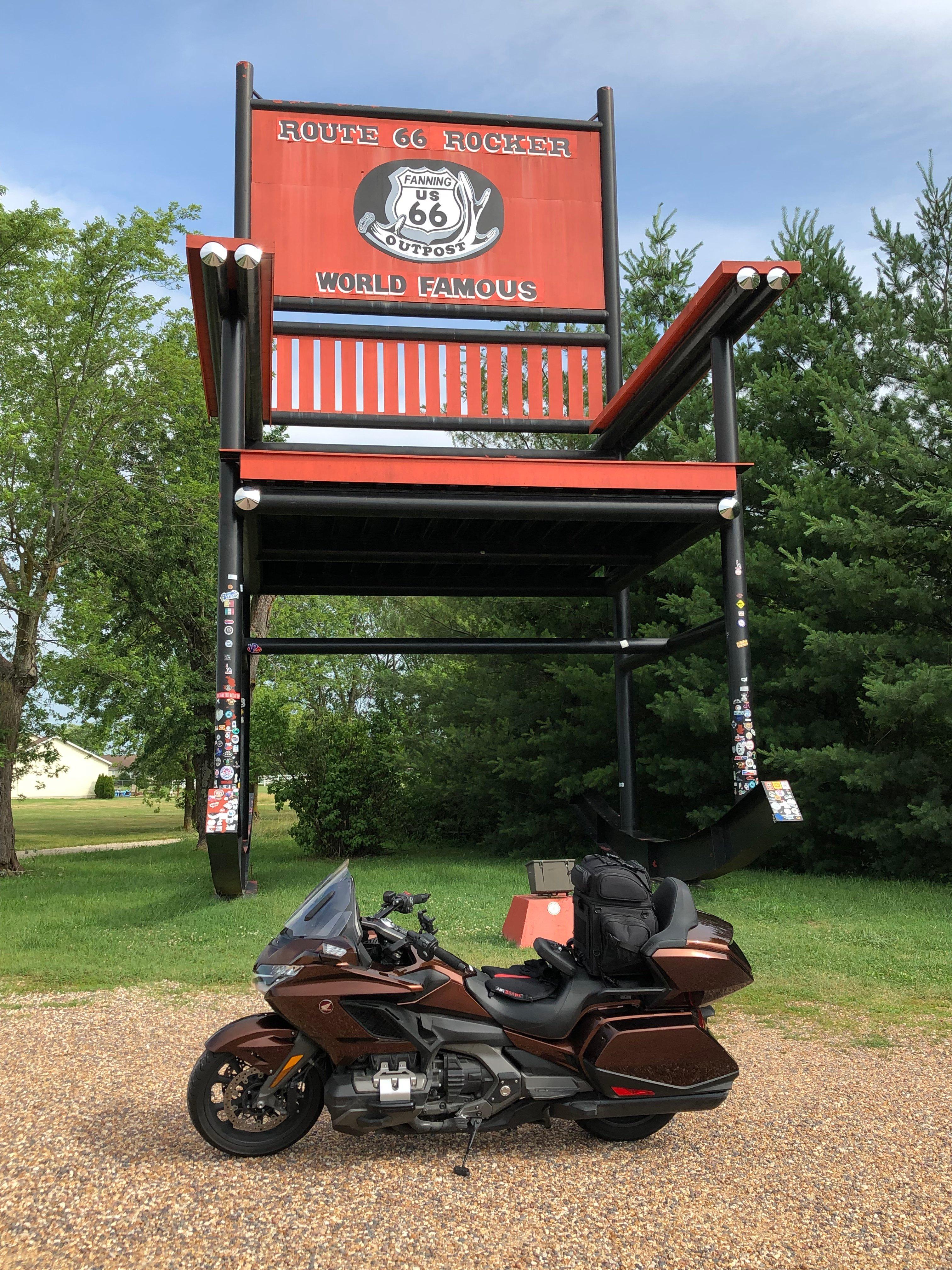
Cuba, located in the state of Missouri, is a small city known for its rich history and vibrant artistic culture. Often referred to as the "Route 66 Mural City," Cuba boasts a striking collection of outdoor murals that depict various aspects of its history and heritage. These murals have become a significant attraction, drawing visitors interested in both art and history. The city's connection to the iconic Route 66 adds to its charm, offering a nostalgic glimpse into America's past road-travel era.
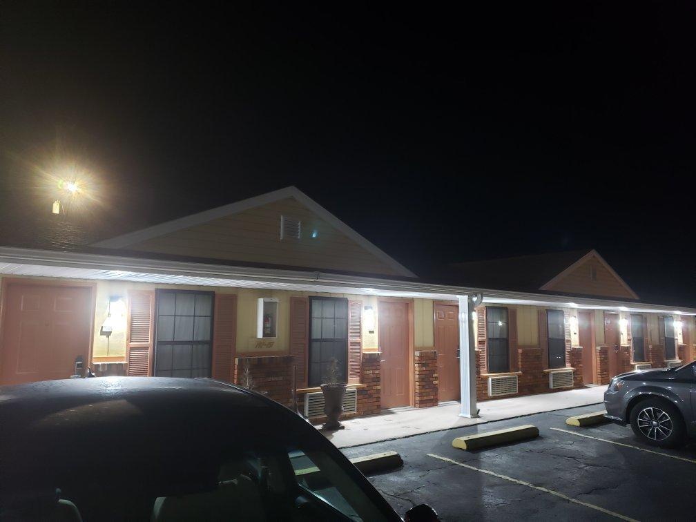
Popular places in Cuba include the Wagon Wheel Motel, one of the oldest continuously operating motels on Route 66, which offers a classic retro experience for visitors. The Crawford County Historical Museum provides insights into the area's past, showcasing artifacts and exhibits that reflect local history. Another notable spot is the Viva Cuba Garden, a community project that emphasizes the city's dedication to beautification and public art. These attractions, combined with the friendly atmosphere of the city, make Cuba a noteworthy stop for those exploring the historic Route 66 corridor.
Nearby cities include: Leasburg, MO, Steelville, MO, Bourbon, MO, St. James, MO, West Sullivan, MO, Sullivan, MO, Oak Grove, MO, Owensville, MO, Bland, MO, Rolla, MO.
Places in Cuba
Dine and drink
Eat and drink your way through town.
Can't-miss activities
Culture, natural beauty, and plain old fun.
Places to stay
Hang your (vacation) hat in a place that’s just your style.
Advertisement


